2000s (21st Century) Maps of T12 R16 WELS, Maine
Explore 20 historic maps of T12 R16 WELS from the 2000s (21st Century). These maps offer a rare glimpse into what life looked like during the 2000s — showing old roads, neighborhoods, homes, and landmarks that have changed or disappeared over time.
Whether you're researching your family's past, planning a metal detecting trip, or studying how T12 R16 WELS's landscape evolved across the 2000s, these high-resolution maps are a powerful tool for exploring the history of this region.
- Focus on a specific era: All maps on this page are from the 2000s, giving you a focused view of this time period.
- See what’s changed: Compare century-old streets, trails, and buildings to today's modern landscape using overlays and satellite layers.
- Research with precision: Use these maps for genealogy, historical research, land use analysis, or educational projects.
- View, download, or print: Maps are fully viewable online in high resolution, and can be downloaded or printed for your own records.
Start exploring T12 R16 WELS's history through authentic maps from the 2000s. This is your window into the past.
T12 R16 WELS, ME maps
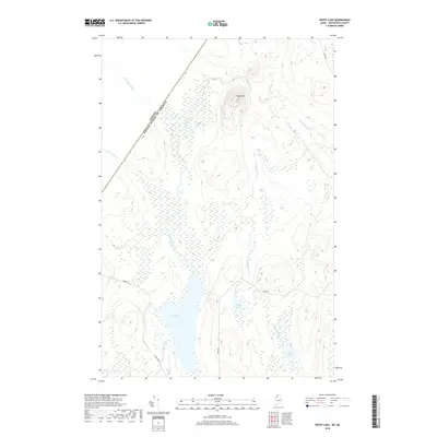
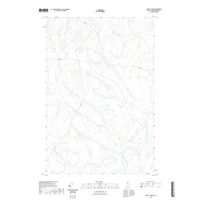
(20)- 2011 Map of Houlton Pond, 2011 Print
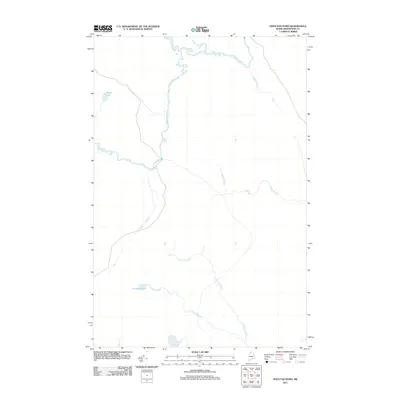 2011 Houlton Pond2011 Print · USGSCovers T12 R16 WELS, including T13 R16 WELS, T12 R15 WELS, and other nearby areas
 - 2011 Map of Ninemile Bridge, 2011 Print
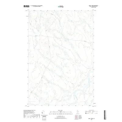
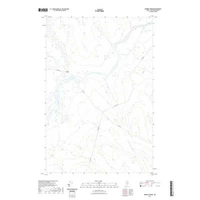
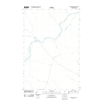 2011 Ninemile Bridge2011 Print · USGSCovers T12 R16 WELS, including T12 R15 WELS, T11 R15 WELS, and other nearby areas
 - 2011 Map of Mary L Pond, 2011 Print
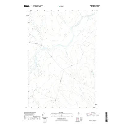
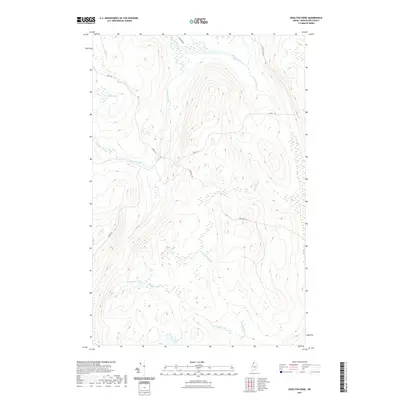
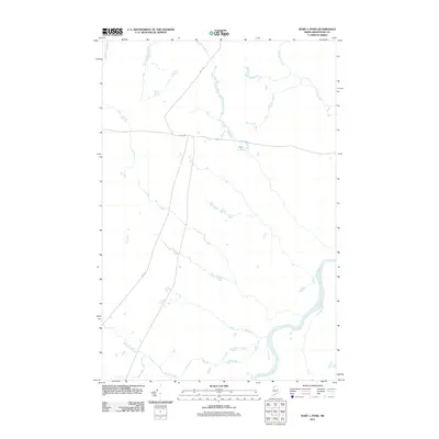 2011 Mary L Pond2011 Print · USGSCovers T12 R16 WELS, including Powers Gore, T11 R16 WELS, and other nearby areas
 - 2011 Map of Depot Lake, 2011 Print
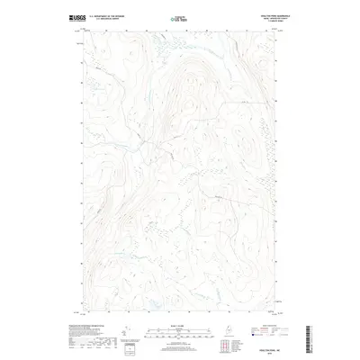
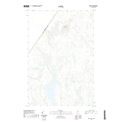
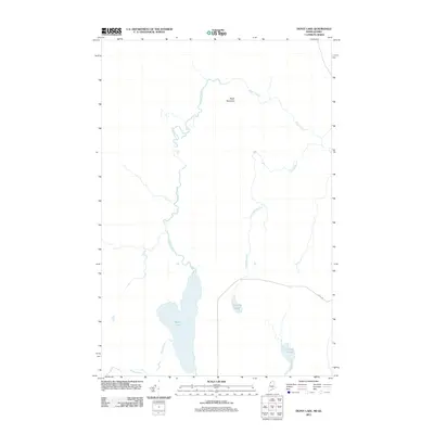 2011 Depot Lake2011 Print · USGSCovers T12 R16 WELS, including T13 R16 WELS, T14 R16 WELS, and other nearby areas
 - 2014 Map of Houlton Pond, 2014 Print
 2014 Houlton Pond2014 Print · USGSCovers T12 R16 WELS, including T13 R16 WELS, T12 R15 WELS, and other nearby areas
 - 2014 Map of Ninemile Bridge, 2014 Print
 2014 Ninemile Bridge2014 Print · USGSCovers T12 R16 WELS, including T12 R15 WELS, T11 R15 WELS, and other nearby areas
 - 2014 Map of Mary L Pond, 2014 Print
 2014 Mary L Pond2014 Print · USGSCovers T12 R16 WELS, including Powers Gore, T11 R16 WELS, and other nearby areas
 - 2014 Map of Depot Lake, 2014 Print
 2014 Depot Lake2014 Print · USGSCovers T12 R16 WELS, including T13 R16 WELS, T14 R16 WELS, and other nearby areas
 - 2018 Map of Depot Lake, 2018 Print
 2018 Depot Lake2018 Print · USGSCovers T12 R16 WELS, including T13 R16 WELS, T14 R16 WELS, and other nearby areas
 - 2018 Map of Mary L Pond, 2018 Print
 2018 Mary L Pond2018 Print · USGSCovers T12 R16 WELS, including Powers Gore, T11 R16 WELS, and other nearby areas
 - 2018 Map of Ninemile Bridge, 2018 Print
 2018 Ninemile Bridge2018 Print · USGSCovers T12 R16 WELS, including T12 R15 WELS, T11 R15 WELS, and other nearby areas
 - 2018 Map of Houlton Pond, 2018 Print
 2018 Houlton Pond2018 Print · USGSCovers T12 R16 WELS, including T13 R16 WELS, T12 R15 WELS, and other nearby areas
 - 2021 Map of Depot Lake, 2021 Print
 2021 Depot Lake2021 Print · USGSCovers T12 R16 WELS, including T13 R16 WELS, T14 R16 WELS, and other nearby areas
 - 2021 Map of Ninemile Bridge, 2021 Print
 2021 Ninemile Bridge2021 Print · USGSCovers T12 R16 WELS, including T12 R15 WELS, T11 R15 WELS, and other nearby areas
 - 2021 Map of Houlton Pond, 2021 Print
 2021 Houlton Pond2021 Print · USGSCovers T12 R16 WELS, including T13 R16 WELS, T12 R15 WELS, and other nearby areas
 - 2021 Map of Mary L Pond, 2021 Print
 2021 Mary L Pond2021 Print · USGSCovers T12 R16 WELS, including Powers Gore, T11 R16 WELS, and other nearby areas
 - 2024 Map of Houlton Pond, 2024 Print
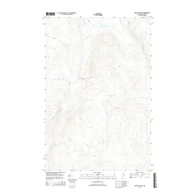
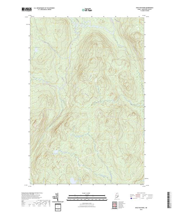 2024 Houlton Pond2024 Print · USGSUpper Aroostook County is mapped here in its contemporary state, showing a wilderness landscape shaped by forestry and northern river systems. Researchers can trace the path of the Big Black River and locate remote landmarks like Blood Lake or the course of Depot Stream.
 - 2024 Map of Mary L Pond, 2024 Print
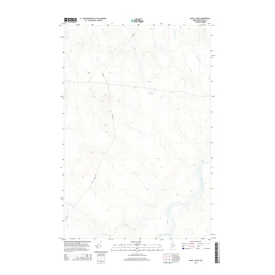
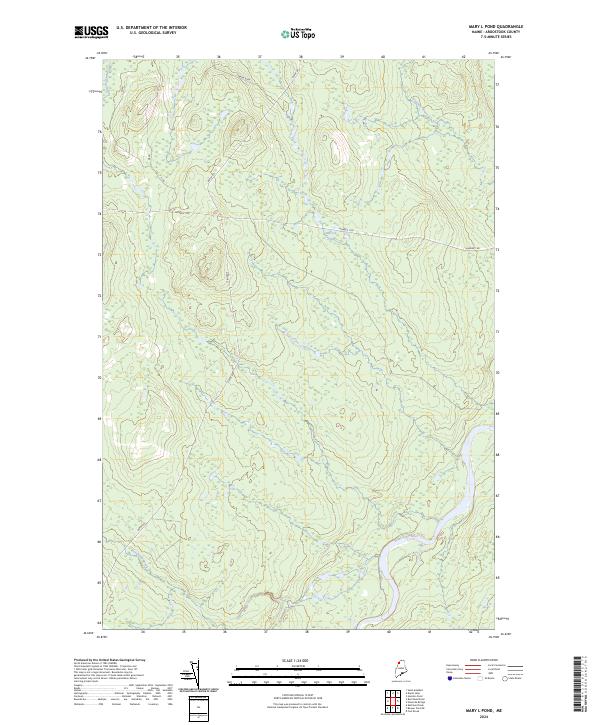 2024 Mary L Pond2024 Print · USGSNorthern Maine's remote timberlands and waterways are documented here as they appeared in the early 2020s. Researchers can trace the drainage of Depot Stream and Ninemile Brook along rugged forestry tracks like Depot Rd.
 - 2024 Map of Ninemile Bridge, 2024 Print
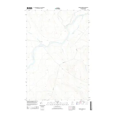
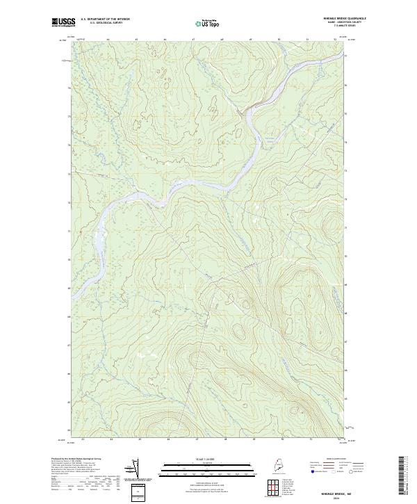 2024 Ninemile Bridge2024 Print · USGSUpper Aroostook County in the early twenty-first century remains a landscape of industrial forests and major waterways. Trace the remote timber roads and river bends near Ed Jones Pond, Realty Rd, and the Saint John River.
 - 2024 Map of Depot Lake, 2024 Print
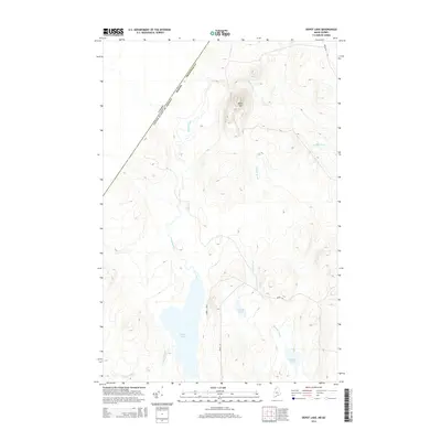
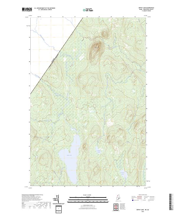 2024 Depot Lake2024 Print · USGSThe Maine-Canada border country comes into sharp focus in this recent survey of the North Maine Woods. Trace the remote waterways from Depot Lake to the slopes of Depot Mtn, along with family-named landmarks like Cunliffe Pond and Linscott Pond.
End of results
Showing maps 1-20 of 20
Frequently asked questions
- What are the different types of historical maps available for T12 R16 WELS?
- What is the oldest map of T12 R16 WELS?
- Where can I purchase historical maps of T12 R16 WELS for my home or office?
- Where can I download high-res historical maps of T12 R16 WELS?
- Are there historical topographic maps available for T12 R16 WELS?
- Is there historical aerial imagery available for T12 R16 WELS?
- Where are historical maps of T12 R16 WELS sourced from?