Old Maps of Jenks Landing, Chebeague Island
Explore 19 old maps of Jenks Landing, spanning from 1893 to today. These high-resolution historic maps reveal how streets, neighborhoods, landmarks, and natural features evolved over time — perfect for genealogy, metal detecting, research, and local history exploration.
What you can do with these maps:
- See how Jenks Landing changed over time: Compare historical maps to modern-day views to trace roads, homesites, rail lines & more.
- View detailed metadata: Each map includes creators, publishers, year, scale, and archive source.
- Overlay maps with satellite & LiDAR: Visualize the past alongside modern tools to explore terrain & human change.
- Trusted historical sources: Maps sourced from the USGS, Library of Congress, and other archives.
- Access maps your way: View online, download high-res files, or order prints for personal or research use.
Start exploring old maps of Jenks Landing to uncover forgotten places, hidden landmarks, and the deep history beneath your feet.
Jenks Landing, Chebeague Island maps
(19)- 1893 Map of Casco Bay
 1893 Casco Bay1893 Print · USGSCasco Bay at the close of the nineteenth century reveals a landscape defined by maritime defense and seafaring life. Genealogists and maritime historians can trace coastal landmarks like Portland Head Light, Fort Preble, and the old settlement at Bowery Beach.5 unique versions available
 - 1914 Map of Casco Bay
 1914 Casco Bay1914 Print · USGSCumberland County's coastline and islands are shown in 1914, featuring a landscape of active coastal defenses and bustling maritime travel. Researchers can locate prominent landmarks such as Fort Mc Kinley, the Portland Head Light, and various steamer stops like Eastern Landing.
 - 1916 Map of Casco Bay
 1916 Casco Bay1916 Print · USGSCumberland County’s shoreline was a landscape of strategic military forts and busy steamboat landings in the years before the Great War. Genealogists and historians can trace coastal heritage through landmarks like Fort Williams, Pine Grove School, and the scattered piers of Falmouth Foreside.8 unique versions available
 - 1916 Map of Portland And Vicinity
 1916 Portland And Vicinity1916 Print · USGSCoastal Maine at the start of the Great War reveals a landscape of heavy coastal fortifications and bustling rail terminals. Trace old neighborhood boundaries and family landmarks like Milliken Mills, Hillside Cemetery, and the Portland Head lighthouse.
 - 1918 Map of Portland And Vicinity, 1926 Print
 1918 Portland And Vicinity1926 Print · USGSCoastal Maine at the height of the Great War reveals a landscape of harbor forts, railroad junctions, and seaside settlements. Genealogists and historians can trace family roots through labels for Evergreen Cemetery, Spurwink Church, and dozens of rural schoolhouses like Babb School.
 - 1941 Map of Casco Bay
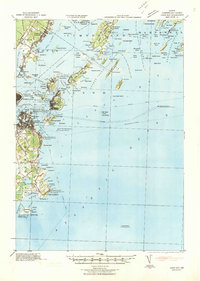 1941 Casco Bay1941 Print · USGSCasco Bay and its vital harbor defenses are captured here just as the nation prepared for war. Military historians and genealogists can locate Fort McKinley and Fort Williams alongside local landmarks like Pine Grove Sch.
 - 1944 Map of South Harpswell
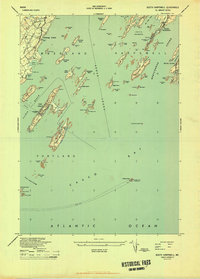 1944 South Harpswell1944 Print · USGSThe Maine coast in the mid-1940s reveals a world defined by the tides and steamer travel across Mericoneag Sound. Trace family property or maritime history near South Harpswell, Bailey Island, or the remote Halfway Rock Lighthouse.
 - 1949 Map of Portland
 1949 Portland1949 Print · USGSCoastal Maine and the New Hampshire interior are shown in detail during the late forties, from the bustling harbors to the lakeside villages. Researchers can trace historical rail networks like the Boston & Maine RR and locate coastal defenses such as Fort Preble.3 unique versions available
 - 1956 Map of South Harpswell, 1959 Print
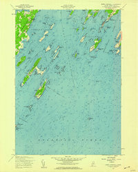 1956 South Harpswell1959 Print · USGSThe islands and sounds of Casco Bay come alive in this mid-century survey of the Cumberland County coast. Genealogists and coastal historians can trace the landings and homesteads of South Harpswell or locate landmarks like Halfway Rock and the Observation Tower on Jewell Island.3 unique versions available
 - 1956 Map of Portland, 1963 Print
 1956 Portland1963 Print · USGSSouthern Maine and eastern New Hampshire are captured here in the mid-fifties, during a time of major highway expansion and military growth. You can trace the path of the Maine Turnpike and locate landmarks like the Portsmouth Naval Shipyard and Sebago Lake.4 unique versions available
 - 1957 Map of Casco Bay, 1960 Print
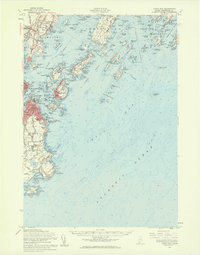 1957 Casco Bay1960 Print · USGSThe Maine coast near Portland appears here in the late fifties, featuring a landscape defined by historic harbor defenses and island communities. Genealogists and historians can trace rail lines like the Grand Trunk or locate landmarks such as the Maine School for the Deaf and Fort Williams Military Res.3 unique versions available
 - 1959 Map of Portland
 1959 Portland1959 Print · USGSThe Maine and New Hampshire coastlines meet in this mid-century portrait of maritime commerce and inland rail networks. Researchers can trace the legacy of coastal defense at Fort Williams and follow the historic path of the Maine Central RR through the White Mountain National Forest.2 unique versions available
 - 1963 Map of Portland
 1963 Portland1963 Print · USGSCoastal Maine and New Hampshire thrived as maritime and industrial hubs during the mid-sixties, linked by a dense network of rail and river. Researchers can trace historic transit corridors like the Maine Central RR and locate key sites such as the Portsmouth Naval Shipyard or Pease Air Force Base.3 unique versions available
 - 1985 Map of Portland, 1986 Print
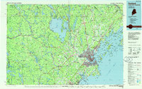 1985 Portland1986 Print · USGSThe Maine coast and Sebago Lake region are captured in the mid-1980s, showcasing the transition from traditional maritime centers to a modern transportation hub. Genealogists and historians can trace rail lines like the Grand Trunk RR and find local landmarks such as the U.S. Marine Hospital or Old Orchard Beach.2 unique versions available
 - 2011 Map of South Harpswell, 2011 Print
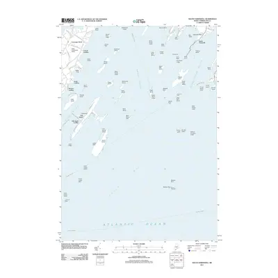 2011 South Harpswell2011 Print · USGSCoastal Cumberland County islands and their surrounding sounds are captured here in the early twenty-first century. Researchers can trace the landing sites and road networks of Chebeague Island or locate isolated navigation aids like Halfway Rock Light and Monument Light.
 - 2014 Map of South Harpswell, 2014 Print
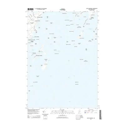 2014 South Harpswell2014 Print · USGSCasco Bay's intricate coastline and island chains are captured here in the mid-2010s, showing the enduring maritime character of the Maine coast. Researchers can trace historic shorelines and island settlements from South Harpswell to Chebeague Island and the Graveyard Point Cem.
 - 2018 Map of South Harpswell, 2018 Print
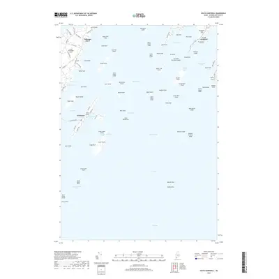 2018 South Harpswell2018 Print · USGSThe Maine coast and its island communities come alive in this survey of South Harpswell and the surrounding Casco Bay. Researchers can trace old coastal routes and island settlements at Great Chebeague Island, Cliff Island, and the Graveyard Point Cem.
 - 2021 Map of South Harpswell, 2021 Print
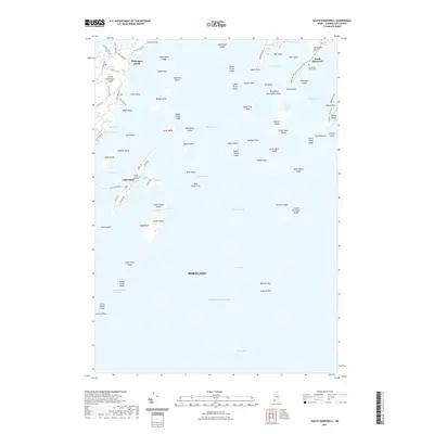 2021 South Harpswell2021 Print · USGSThe island communities of Casco Bay are shown in fine detail during the early 2020s, highlighting the enduring maritime character of coastal Maine. Researchers can trace local landmarks like Graveyard Point Cem, the Cliff Island Ferry, and the road networks of South Harpswell.
 - 2024 Map of South Harpswell, 2024 Print
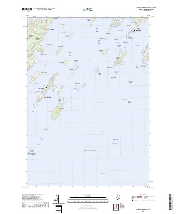 2024 South Harpswell2024 Print · USGSCoastal Maine's Casco Bay islands and the Harpswell peninsula are documented here in their modern maritime context. Researchers can trace landownership and family heritage through the Cliff Island Ferry route, the Graveyard Point Cem, and roads like Harpswell Neck Rd.
End of results
Showing maps 1-19 of 19
Frequently asked questions
- What are the different types of historical maps available for Jenks Landing?
- What is the oldest map of Jenks Landing?
- Where can I purchase historical maps of Jenks Landing for my home or office?
- Where can I download high-res historical maps of Jenks Landing?
- Are there historical topographic maps available for Jenks Landing?
- Is there historical aerial imagery available for Jenks Landing?
- Where are historical maps of Jenks Landing sourced from?