2000s (21st Century) Maps of Harpswell, Maine
Explore 26 historic maps of Harpswell from the 2000s (21st Century). These maps offer a rare glimpse into what life looked like during the 2000s — showing old roads, neighborhoods, homes, and landmarks that have changed or disappeared over time.
Whether you're researching your family's past, planning a metal detecting trip, or studying how Harpswell's landscape evolved across the 2000s, these high-resolution maps are a powerful tool for exploring the history of this region.
- Focus on a specific era: All maps on this page are from the 2000s, giving you a focused view of this time period.
- See what’s changed: Compare century-old streets, trails, and buildings to today's modern landscape using overlays and satellite layers.
- Research with precision: Use these maps for genealogy, historical research, land use analysis, or educational projects.
- View, download, or print: Maps are fully viewable online in high resolution, and can be downloaded or printed for your own records.
Start exploring Harpswell's history through authentic maps from the 2000s. This is your window into the past.
Harpswell, ME maps
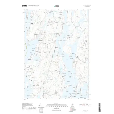
(26)- 2000 Map of Phippsburg, 2001 Print
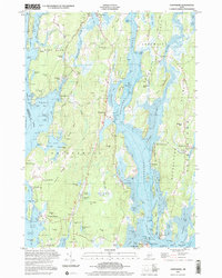 2000 Phippsburg2001 Print · USGSThe Kennebec River meets the Atlantic here as the twenty-first century begins, showcasing a coastline shaped by maritime history and military defense. Genealogists and historians can locate the Old Mica Mine, the Sebasco Sch, and landmark sites like the Fort Popham Lighthouse.
 - 2011 Map of Phippsburg, 2011 Print
 2011 Phippsburg2011 Print · USGSCovers Harpswell, including Bath, Phippsburg, and other nearby areas
 - 2011 Map of Freeport, 2011 Print
 2011 Freeport2011 Print · USGSCovers Harpswell, including Brunswick, Yarmouth, and other nearby areas
 - 2011 Map of South Harpswell, 2011 Print
 2011 South Harpswell2011 Print · USGSCovers Harpswell, including Portland, Chebeague Island, and other nearby areas
 - 2011 Map of Orrs Island, 2011 Print
 2011 Orrs Island2011 Print · USGSCovers Harpswell, including Brunswick, Phippsburg, and other nearby areas
 - 2011 Map of Bailey Island, 2011 Print
 2011 Bailey Island2011 Print · USGSCovers Harpswell, including Phippsburg, Chebeague Island, and other nearby areas
 - 2014 Map of Freeport, 2014 Print
 2014 Freeport2014 Print · USGSCovers Harpswell, including Brunswick, Yarmouth, and other nearby areas
 - 2014 Map of Phippsburg, 2014 Print
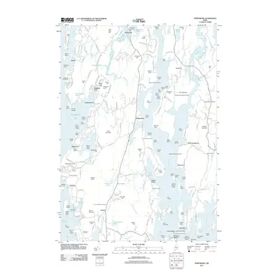
 2014 Phippsburg2014 Print · USGSCovers Harpswell, including Bath, Phippsburg, and other nearby areas
 - 2014 Map of Orrs Island, 2014 Print
 2014 Orrs Island2014 Print · USGSCovers Harpswell, including Brunswick, Phippsburg, and other nearby areas
 - 2014 Map of Bailey Island, 2014 Print
 2014 Bailey Island2014 Print · USGSCovers Harpswell, including Phippsburg, Chebeague Island, and other nearby areas
 - 2014 Map of South Harpswell, 2014 Print
 2014 South Harpswell2014 Print · USGSCovers Harpswell, including Portland, Chebeague Island, and other nearby areas
 - 2018 Map of Orrs Island, 2018 Print
 2018 Orrs Island2018 Print · USGSCovers Harpswell, including Brunswick, Phippsburg, and other nearby areas
 - 2018 Map of Bailey Island, 2018 Print
 2018 Bailey Island2018 Print · USGSCovers Harpswell, including Phippsburg, Chebeague Island, and other nearby areas
 - 2018 Map of Phippsburg, 2018 Print
 2018 Phippsburg2018 Print · USGSCovers Harpswell, including Bath, Phippsburg, and other nearby areas
 - 2018 Map of South Harpswell, 2018 Print
 2018 South Harpswell2018 Print · USGSCovers Harpswell, including Portland, Chebeague Island, and other nearby areas
 - 2018 Map of Freeport, 2018 Print
 2018 Freeport2018 Print · USGSCovers Harpswell, including Brunswick, Yarmouth, and other nearby areas
 - 2021 Map of Phippsburg, 2021 Print
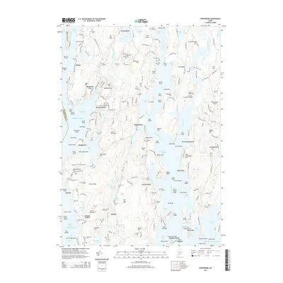
 2021 Phippsburg2021 Print · USGSCovers Harpswell, including Bath, Phippsburg, and other nearby areas
 - 2021 Map of South Harpswell, 2021 Print
 2021 South Harpswell2021 Print · USGSCovers Harpswell, including Portland, Chebeague Island, and other nearby areas
 - 2021 Map of Orrs Island, 2021 Print
 2021 Orrs Island2021 Print · USGSCovers Harpswell, including Brunswick, Phippsburg, and other nearby areas
 - 2021 Map of Freeport, 2021 Print
 2021 Freeport2021 Print · USGSCovers Harpswell, including Brunswick, Yarmouth, and other nearby areas
 - 2021 Map of Bailey Island, 2021 Print
 2021 Bailey Island2021 Print · USGSCovers Harpswell, including Phippsburg, Chebeague Island, and other nearby areas
 - 2024 Map of South Harpswell, 2024 Print
 2024 South Harpswell2024 Print · USGSCoastal Maine's Casco Bay islands and the Harpswell peninsula are documented here in their modern maritime context. Researchers can trace landownership and family heritage through the Cliff Island Ferry route, the Graveyard Point Cem, and roads like Harpswell Neck Rd.
 - 2024 Map of Freeport, 2024 Print
 2024 Freeport2024 Print · USGSCumberland County’s shoreline is intricately detailed in this modern survey, showing the coastal evolution of Freeport and West Harpswell. Genealogists can trace historic burial sites like Upper Mast Landing Cem and Woodlawn Cem among the islands of Casco Bay.
 - 2024 Map of Orrs Island, 2024 Print
 2024 Orrs Island2024 Print · USGSThe coastal peninsulas and islands of Casco Bay appear in high detail during the early 2020s. Genealogists can trace family heritage at the Old Harpswell Common Burying Ground and Skolfield Cem, or explore the maritime reach of Cundys Harbor and Orrs Island.
 - 2024 Map of Phippsburg, 2024 Print
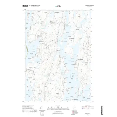
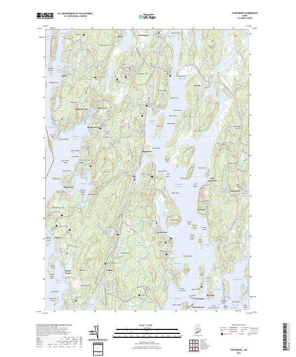 2024 Phippsburg2024 Print · USGSPhippsburg and the Kennebec River mouth are captured in this modern coastal survey. Researchers can trace ancestral sites through numerous family burying grounds like Eaton Cem and Marine Cem, or explore the grounds around Fort Popham.
Showing maps 1-25 of 26
Top cities near Harpswell
- Portland historical maps
- Scarborough historical maps
- Brunswick historical maps
- Falmouth historical maps
- Cape Elizabeth historical maps
- Yarmouth historical maps
See more
Top neighborhoods of Harpswell
- Birch Island historical maps
- Bailey Island historical maps
- South Harpswell historical maps
- West Harpswell historical maps
- Dyer Cove historical maps
- East Harpswell historical maps
See more
Frequently asked questions
- What are the different types of historical maps available for Harpswell?
- What is the oldest map of Harpswell?
- Where can I purchase historical maps of Harpswell for my home or office?
- Where can I download high-res historical maps of Harpswell?
- Are there historical topographic maps available for Harpswell?
- Is there historical aerial imagery available for Harpswell?
- Where are historical maps of Harpswell sourced from?