Old Maps of West Castine, Castine
Explore 16 old maps of West Castine, spanning from 1902 to today. These high-resolution historic maps reveal how streets, neighborhoods, landmarks, and natural features evolved over time — perfect for genealogy, metal detecting, research, and local history exploration.
What you can do with these maps:
- See how West Castine changed over time: Compare historical maps to modern-day views to trace roads, homesites, rail lines & more.
- View detailed metadata: Each map includes creators, publishers, year, scale, and archive source.
- Overlay maps with satellite & LiDAR: Visualize the past alongside modern tools to explore terrain & human change.
- Trusted historical sources: Maps sourced from the USGS, Library of Congress, and other archives.
- Access maps your way: View online, download high-res files, or order prints for personal or research use.
Start exploring old maps of West Castine to uncover forgotten places, hidden landmarks, and the deep history beneath your feet.
West Castine, Castine maps
(16)- 1902 Map of Castine
 1902 Castine1902 Print · USGSPenobscot Bay at the dawn of the 1900s shows a thriving maritime landscape of island settlements and harbor towns. Genealogists and historians can trace old homesteads and coastal landmarks near Ft. George, Northport Camp Ground, and the various landings of Islesboro.
 - 1904 Map of Castine
 1904 Castine1904 Print · USGSPenobscot Bay at the turn of the century shows a maritime landscape of bustling ports and emerging summer colonies. Genealogists and historians can trace old coastal settlements like Castine, locate the grounds of Ft. George, and follow the Steamboat Routes that linked the mainland to Dark Harbor.7 unique versions available
 - 1905 Map of Penobscot Bay
 1905 Penobscot Bay1905 Print · USGSThe Maine coastline at the dawn of the twentieth century was a bustling network of maritime trade and summer retreats. Genealogists and historians can trace the foundations of coastal life through the STEAMBOAT ROUTE, the Northport Camp Ground, and settlements like Sargentville.3 unique versions available
 - 1941 Map of Castine, 1959 Print
 1941 Castine1959 Print · USGSPenobscot Bay and its storied coastal villages appear here in the early 1940s, showing the intersection of maritime trade and rural Maine life. Genealogists and historians can trace the rail terminals at Mack Pt, local schools like Park Sch, and the historical site of Fort George.4 unique versions available
 - 1943 Map of Castine
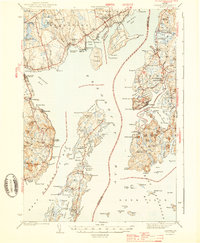 1943 Castine1943 Print · USGSMid-century Penobscot Bay life is charted here during the early 1940s, from the historic streets of the mainland to the isolated island harbors. Genealogists can trace family connections at Bethany Chapel or locate the old Farnham Sch and the rail depot at Searsport Sta.3 unique versions available
 - 1948 Map of Bangor
 1948 Bangor1948 Print · USGSThe Maine coast and its industrial river valleys are captured here shortly after the war, showing the vital shipping and rail hubs of the late 1940s. Genealogists and historians can trace the tracks of the Maine Central RR connecting Bangor, Augusta, and Old Town.
 - 1956 Map of Bangor, 1966 Print
 1956 Bangor1966 Print · USGSMid-century Maine comes alive in this survey of the rugged coast and river valleys during the 1950s. Genealogists and historians can trace the vital rail corridors of the Maine Central RR connecting timber towns like Old Town to the coast at Bar Harbor.3 unique versions available
 - 1960 Map of Bangor
 1960 Bangor1960 Print · USGSCentral Maine in the sixties reveals a landscape of river-powered industry and sprawling coastal island chains. Researchers can trace the rail corridors of the Maine Central or locate mid-century aviation landmarks like Dow Air Force Base.
 - 1961 Map of Bangor
 1961 Bangor1961 Print · USGSMid-century Maine comes alive through its busy river ports and rocky archipelagoes during a period of steady maritime and rail commerce. Researchers can trace the path of the Maine Central railroad and locate coastal landmarks from Acadia National Park to Vinalhaven Island.
 - 1973 Map of Castine, 1977 Print
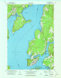 1973 Castine1977 Print · USGSThe Maine coast near the confluence of the Penobscot and Bagaduce Rivers is captured here in the early 1970s. Local historians can trace the foundations of Ft George, the route of the British Canal, and the grounds of the Maritime Academy in Castine.3 unique versions available
 - 1985 Map of Bar Harbor
 1985 Bar Harbor1985 Print · USGSCoastal Hancock County in the mid-eighties shows an intricate landscape of island communities and protected wilderness. Trace the boundaries of Acadia National Park or locate seafaring hubs like Stonington and Bar Harbor.2 unique versions available
 - 2011 Map of Castine, 2011 Print
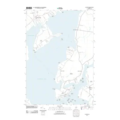 2011 Castine2011 Print · USGSThe Penobscot Bay coast is documented here in the early twenty-first century, showing the historic maritime layout of the region. Researchers can trace landownership patterns near Castine and find local landmarks like Fort George, the British Canal, and Prospect Cemetery.
 - 2014 Map of Castine, 2014 Print
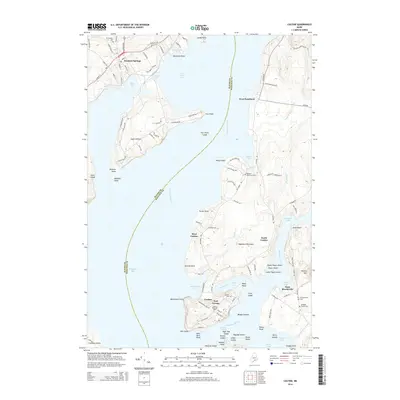 2014 Castine2014 Print · USGSPenobscot Bay and the Bagaduce River are shown here in the early twenty-first century, highlighting the deep maritime roots of the Maine coast. Genealogists can trace family lines through the Blodgett Family Cem or explore the military history of Fort George and the British Canal in Castine.
 - 2018 Map of Castine, 2018 Print
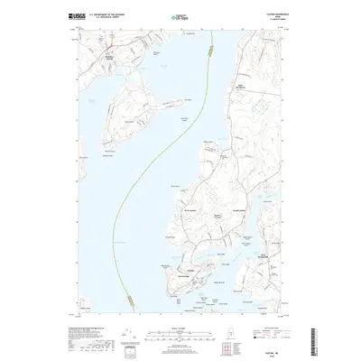 2018 Castine2018 Print · USGSThe strategic Maine coastline at Penobscot Bay is captured here during the late 2010s. Researchers can trace the maritime heritage of Castine, locating historic sites like Fort George and the Maine Maritime Academy.
 - 2021 Map of Castine, 2021 Print
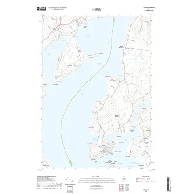 2021 Castine2021 Print · USGSPenobscot Bay and the Bagaduce River meet in this contemporary coastal survey of one of Maine's most storied maritime districts. Researchers can trace the layout of Castine, locate the historic Fort George, or find family names at Blodgett Family Cem and Mount Recluse Cem.
 - 2024 Map of Castine, 2024 Print
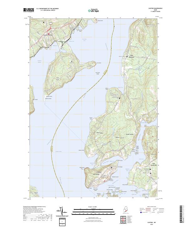 2024 Castine2024 Print · USGSCoastal Hancock County and the lower Penobscot River estuary show a long history of maritime settlement and defense. Genealogists and historians can trace family burial grounds like Blodgett Family Cem and landmarks such as Fort George or the British Canal.
End of results
Showing maps 1-16 of 16
Frequently asked questions
- What are the different types of historical maps available for West Castine?
- What is the oldest map of West Castine?
- Where can I purchase historical maps of West Castine for my home or office?
- Where can I download high-res historical maps of West Castine?
- Are there historical topographic maps available for West Castine?
- Is there historical aerial imagery available for West Castine?
- Where are historical maps of West Castine sourced from?