Old Maps of Eastbrook, Maine
Explore 26 old maps of Eastbrook, spanning from 1911 to today. These high-resolution historic maps reveal how streets, neighborhoods, landmarks, and natural features evolved over time — perfect for genealogy, metal detecting, research, and local history exploration.
What you can do with these maps:
- See how Eastbrook changed over time: Compare historical maps to modern-day views to trace roads, homesites, rail lines & more.
- View detailed metadata: Each map includes creators, publishers, year, scale, and archive source.
- Overlay maps with satellite & LiDAR: Visualize the past alongside modern tools to explore terrain & human change.
- Trusted historical sources: Maps sourced from the USGS, Library of Congress, and other archives.
- Access maps your way: View online, download high-res files, or order prints for personal or research use.
Start exploring old maps of Eastbrook to uncover forgotten places, hidden landmarks, and the deep history beneath your feet.
Eastbrook, ME maps
(26)- 1911 Map of Ellsworth
 1911 Ellsworth1911 Print · USGSCoastal Hancock County at the turn of the century shows a landscape of busy rail junctions and remote plantation schools. Genealogists can trace family names at Washington Junction or locate the old Beechland School and Morrison School.5 unique versions available
 - 1930 Map of Tunk Lake
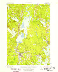
 1930 Tunk Lake1930 Print · USGSHancock County was a landscape of timber and tide in the early 1930s, where the Maine Central rail line linked small coastal villages to the deep woods. Genealogists and historians can trace old homesteads in Donnells, rural education at Tunk Lake Sch, and the locations of sporting retreats like the Wichyup Club.
 - 1932 Map of Tunk Lake
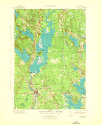
 1932 Tunk Lake1932 Print · USGSThe coastal inlets and glacial highlands of Hancock County are meticulously detailed in the early 1930s. Researchers can trace the Maine Central rail line through Sullivan and locate vanished local landmarks like the Think Lake Sch and Wickypup Club.4 unique versions available
 - 1940 Map of Ellsworth, 1957 Print
 1940 Ellsworth1957 Print · USGSHancock County at the start of the 1940s reveals a landscape of tidal bays and timbered ridges surrounding the hub of Ellsworth. Genealogists and local historians can trace rail lines at Washington Junction, find rural schoolhouses like Beechland Sch, and locate the old Franklin Road North Hancock Post Office.
 - 1942 Map of Ellsworth
 1942 Ellsworth1942 Print · USGSHancock County enters the early years of the war with its rail and river networks fully matured. Genealogists and historians can trace the foundations of local life through rural landmarks like the No 8 Plantation Sch, the rail hub at Washington Junction, and the post office at North Hancock P O.
 - 1942 Map of Tunk Lake
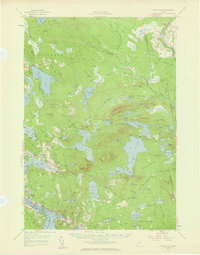
 1942 Tunk Lake1942 Print · USGSHancock County’s inland peaks and coastal villages are captured here during the early 1940s, just as aerial photography began to modernize regional mapping. Researchers can locate the Tunk Lake Sch, coastal rail stops at Waukeag, and the prominent Fire Tower on Schoodic Mtn.
 - 1948 Map of Bangor
 1948 Bangor1948 Print · USGSThe Maine coast and its industrial river valleys are captured here shortly after the war, showing the vital shipping and rail hubs of the late 1940s. Genealogists and historians can trace the tracks of the Maine Central RR connecting Bangor, Augusta, and Old Town.
 - 1956 Map of Bangor, 1966 Print
 1956 Bangor1966 Print · USGSMid-century Maine comes alive in this survey of the rugged coast and river valleys during the 1950s. Genealogists and historians can trace the vital rail corridors of the Maine Central RR connecting timber towns like Old Town to the coast at Bar Harbor.3 unique versions available
 - 1957 Map of Tunk Lake, 1959 Print
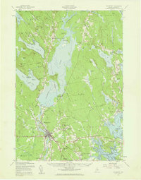
 1957 Tunk Lake1959 Print · USGSCoastal Maine in the late 1950s shows a landscape defined by the Maine Central RR and tidal waters like Hog Bay. Local historians can trace family locations near Bayview Cem, the Union Ch, and settlements from Deblois to East Sullivan.4 unique versions available
 - 1957 Map of Ellsworth, 1959 Print
 1957 Ellsworth1959 Print · USGSHancock County at the end of the fifties shows the critical transition from rail-dependent industry to the modern highway era. Researchers can trace historic family burial sites and rural schoolhouses, including Hillside Cem, Stetson Sch, and the junctions of the Maine Central Railroad.3 unique versions available
 - 1960 Map of Bangor
 1960 Bangor1960 Print · USGSCentral Maine in the sixties reveals a landscape of river-powered industry and sprawling coastal island chains. Researchers can trace the rail corridors of the Maine Central or locate mid-century aviation landmarks like Dow Air Force Base.
 - 1961 Map of Bangor
 1961 Bangor1961 Print · USGSMid-century Maine comes alive through its busy river ports and rocky archipelagoes during a period of steady maritime and rail commerce. Researchers can trace the path of the Maine Central railroad and locate coastal landmarks from Acadia National Park to Vinalhaven Island.
 - 1981 Map of Eastbrook, 1982 Print
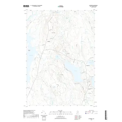
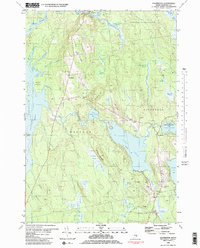 1981 Eastbrook1982 Print · USGSHancock County’s inland ridges and heaths are meticulously documented in this late-twentieth-century study of the Eastbrook and Waltham vicinity. Researchers can locate family burial sites at Sunnyside Cem, the old Cave Hill Sch, and landmarks along Waltham Ridge.2 unique versions available
 - 1982 Map of Molasses Pond, 1983 Print
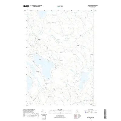
 1982 Molasses Pond1983 Print · USGSHancock County’s intricate interior wetlands and ridges are captured here during the early eighties. Researchers can trace land use through the Lyle Frost Wildlife Management Area and locate family landmarks like Crimmins Cem or Macomber Mill Str.
 - 1985 Map of Bangor
 1985 Bangor1985 Print · USGSMid-Maine during the mid-eighties centers on the industrial pulse of the Penobscot River and its critical rail connections. Genealogists and historians can trace the development of river towns from Old Town to Ellsworth and locate regional landmarks like Fort Knox State Park.
 - 1994 Map of Bangor
 1994 Bangor1994 Print · USGSThe Penobscot River valley and the coastal highlands of eastern Maine are captured here in the mid-1990s. Researchers can trace the industrial rail corridors of the Maine Central Railroad or explore the landscape around Old Town, Bucksport, and Graham Lake.
 - 2011 Map of Eastbrook, 2011 Print
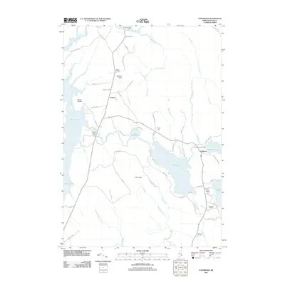 2011 Eastbrook2011 Print · USGSCovers Eastbrook, including Franklin, Mariaville, and other nearby areas
 - 2011 Map of Molasses Pond, 2011 Print
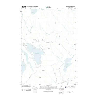 2011 Molasses Pond2011 Print · USGSCovers Eastbrook, including Franklin, Osborn, and other nearby areas
 - 2014 Map of Eastbrook, 2014 Print
 2014 Eastbrook2014 Print · USGSCovers Eastbrook, including Franklin, Mariaville, and other nearby areas
 - 2014 Map of Molasses Pond, 2014 Print
 2014 Molasses Pond2014 Print · USGSCovers Eastbrook, including Franklin, Osborn, and other nearby areas
 - 2018 Map of Molasses Pond, 2018 Print
 2018 Molasses Pond2018 Print · USGSCovers Eastbrook, including Franklin, Osborn, and other nearby areas
 - 2018 Map of Eastbrook, 2018 Print
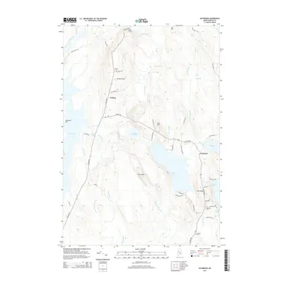
 2018 Eastbrook2018 Print · USGSCovers Eastbrook, including Franklin, Mariaville, and other nearby areas
 - 2021 Map of Eastbrook, 2021 Print
 2021 Eastbrook2021 Print · USGSCovers Eastbrook, including Franklin, Mariaville, and other nearby areas
 - 2021 Map of Molasses Pond, 2021 Print
 2021 Molasses Pond2021 Print · USGSCovers Eastbrook, including Franklin, Osborn, and other nearby areas
 - 2024 Map of Molasses Pond, 2024 Print
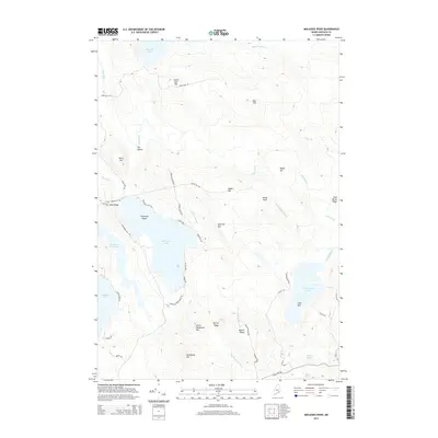
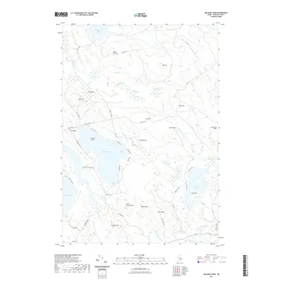
 2024 Molasses Pond2024 Print · USGSHancock County’s inland waters and timberlands are mapped here in the modern day, showing the intricate wetlands of the Maine interior. Genealogists and local historians can locate Crimmins Cem near Neck Ridge or trace old routes along Stone Dam Rd and Macomber Mill Rd.
Showing maps 1-25 of 26
Top cities near Eastbrook
- Ellsworth historical maps
- Hancock historical maps
- Lamoine historical maps
- Gouldsboro historical maps
- Surry historical maps
- Trenton historical maps
See more
Frequently asked questions
- What are the different types of historical maps available for Eastbrook?
- What is the oldest map of Eastbrook?
- Where can I purchase historical maps of Eastbrook for my home or office?
- Where can I download high-res historical maps of Eastbrook?
- Are there historical topographic maps available for Eastbrook?
- Is there historical aerial imagery available for Eastbrook?
- Where are historical maps of Eastbrook sourced from?