Old Maps of North Monmouth, Monmouth for Metal Detecting
Plan your next treasure hunt with 23 historic maps of North Monmouth. Find old homesites, ghost towns, trails, and gathering spots that may be lost to time — perfect for identifying promising metal detecting locations.
- Locate forgotten sites: Uncover places like long-lost settlements, abandoned rail lines, or gathering spots.
- Plan better hunts: Use map overlays combined with LiDAR or satellite views to narrow in on historically rich areas.
- Made for detectorists: Thousands of hobbyists use these maps to discover relics, coins, and hidden history.
Use these historic maps to boost your research and find new opportunities beneath the surface of North Monmouth.
North Monmouth, Monmouth maps
(23)- 1892 Map of Augusta
 1892 Augusta1892 Print · USGSCovers North Monmouth, including Augusta, Winthrop, and other nearby areas8 unique versions available
 - 1910 Map of Livermore, 1959 Print
 1910 Livermore1959 Print · USGSCovers North Monmouth, including Winthrop, Turner, and other nearby areas
 - 1912 Map of Livermore
 1912 Livermore1912 Print · USGSCovers North Monmouth, including Winthrop, Turner, and other nearby areas5 unique versions available
 - 1941 Map of Livermore
 1941 Livermore1941 Print · USGSCovers North Monmouth, including Winthrop, Turner, and other nearby areas
 - 1941 Map of Augusta, 1956 Print
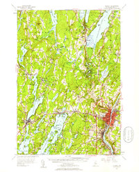
 1941 Augusta1956 Print · USGSCovers North Monmouth, including Augusta, Winthrop, and other nearby areas
 - 1943 Map of Augusta
 1943 Augusta1943 Print · USGSCovers North Monmouth, including Augusta, Winthrop, and other nearby areas3 unique versions available
 - 1948 Map of Bangor
 1948 Bangor1948 Print · USGSCovers North Monmouth, including Bangor, Augusta, and other nearby areas
 - 1950 Map of Lewiston
 1950 Lewiston1950 Print · USGSCovers North Monmouth, including Lewiston, Auburn, and other nearby areas2 unique versions available
 - 1956 Map of Augusta, 1958 Print
 1956 Augusta1958 Print · USGSCovers North Monmouth, including Augusta, Winthrop, and other nearby areas4 unique versions available
 - 1956 Map of Bangor, 1966 Print
 1956 Bangor1966 Print · USGSCovers North Monmouth, including Bangor, Augusta, and other nearby areas3 unique versions available
 - 1956 Map of Lewiston, 1975 Print
 1956 Lewiston1975 Print · USGSCovers North Monmouth, including Lewiston, Auburn, and other nearby areas
 - 1960 Map of Bangor
 1960 Bangor1960 Print · USGSCovers North Monmouth, including Bangor, Augusta, and other nearby areas
 - 1961 Map of Bangor
 1961 Bangor1961 Print · USGSCovers North Monmouth, including Bangor, Augusta, and other nearby areas
 - 1961 Map of Lewiston
 1961 Lewiston1961 Print · USGSCovers North Monmouth, including Lewiston, Auburn, and other nearby areas
 - 1962 Map of Lewiston
 1962 Lewiston1962 Print · USGSCovers North Monmouth, including Lewiston, Auburn, and other nearby areas
 - 1966 Map of Wayne, 1968 Print
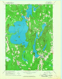 1966 Wayne1968 Print · USGSCovers North Monmouth, including Winthrop, Monmouth, and other nearby areas3 unique versions available
 - 1969 Map of Lewiston
 1969 Lewiston1969 Print · USGSCovers North Monmouth, including Lewiston, Auburn, and other nearby areas
 - 1980 Map of Winthrop
 1980 Winthrop1980 Print · USGSCovers North Monmouth, including Winthrop, Monmouth, and other nearby areas
 - 1984 Map of Augusta
 1984 Augusta1984 Print · USGSCovers North Monmouth, including Augusta, Topsham, and other nearby areas
 - 1986 Map of Lewiston
 1986 Lewiston1986 Print · USGSCovers North Monmouth, including Lewiston, Auburn, and other nearby areas2 unique versions available
 - 2000 Map of Winthrop, 2001 Print
 2000 Winthrop2001 Print · USGSCovers North Monmouth, including Winthrop, Monmouth, and other nearby areas
 - 2024 Map of Wayne, 2024 Print
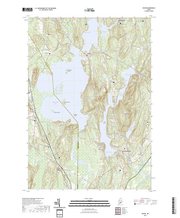 2024 Wayne2024 Print · USGSCovers North Monmouth, including Winthrop, Monmouth, and other nearby areas
 - 2024 Map of Winthrop, 2024 Print
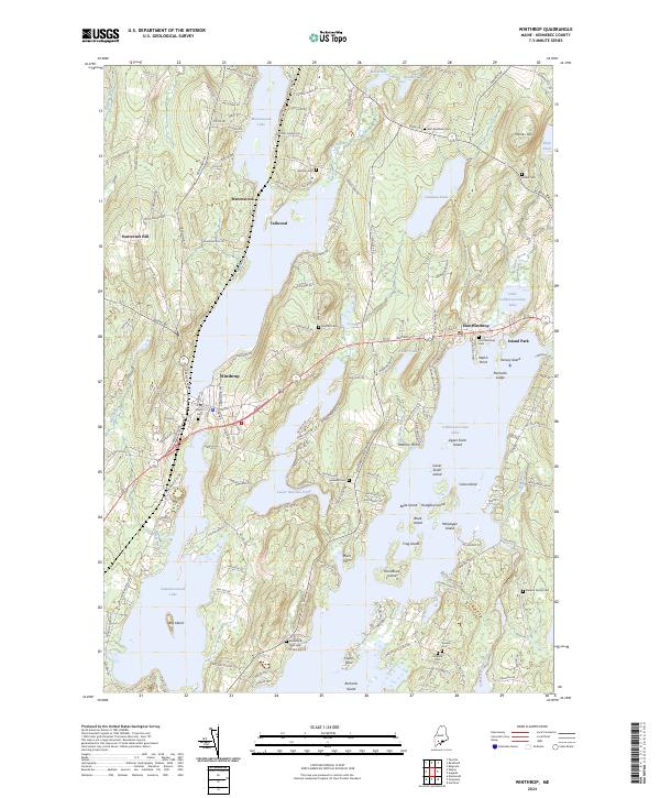 2024 Winthrop2024 Print · USGSCovers North Monmouth, including Winthrop, Monmouth, and other nearby areas
End of results
Showing maps 1-23 of 23
Frequently asked questions
- What are the different types of historical maps available for North Monmouth?
- What is the oldest map of North Monmouth?
- Where can I purchase historical maps of North Monmouth for my home or office?
- Where can I download high-res historical maps of North Monmouth?
- Are there historical topographic maps available for North Monmouth?
- Is there historical aerial imagery available for North Monmouth?
- Where are historical maps of North Monmouth sourced from?