2000s (21st Century) Maps of Simonton Corners, Rockport
Explore 6 historic maps of Simonton Corners from the 2000s (21st Century). These maps offer a rare glimpse into what life looked like during the 2000s — showing old roads, neighborhoods, homes, and landmarks that have changed or disappeared over time.
Whether you're researching your family's past, planning a metal detecting trip, or studying how Simonton Corners's landscape evolved across the 2000s, these high-resolution maps are a powerful tool for exploring the history of this region.
- Focus on a specific era: All maps on this page are from the 2000s, giving you a focused view of this time period.
- See what’s changed: Compare century-old streets, trails, and buildings to today's modern landscape using overlays and satellite layers.
- Research with precision: Use these maps for genealogy, historical research, land use analysis, or educational projects.
- View, download, or print: Maps are fully viewable online in high resolution, and can be downloaded or printed for your own records.
Start exploring Simonton Corners's history through authentic maps from the 2000s. This is your window into the past.
Simonton Corners, Rockport maps
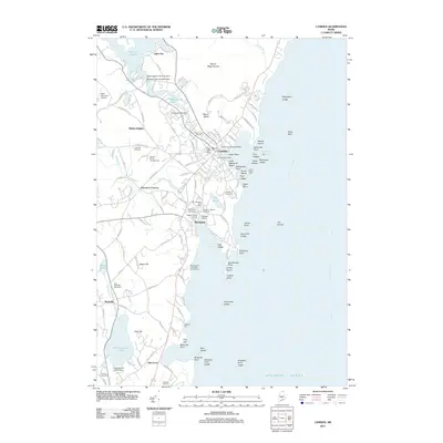
(6)- 2000 Map of Camden, 2001 Print
 2000 Camden2001 Print · USGSThe Maine coast near Camden and Rockport is shown here at the start of the new millennium, balancing deep-water harbors with high granite peaks. Researchers can locate family plots at Oak Hill Cem or trace the early paths of the Spring Brook Trail and Mount Battie observatory.
 - 2011 Map of Camden, 2011 Print
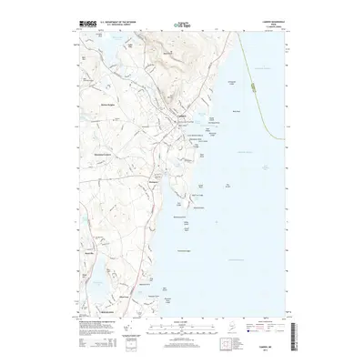
 2011 Camden2011 Print · USGSCovers Simonton Corners, including Rockland, Camden, and other nearby areas
 - 2014 Map of Camden, 2014 Print
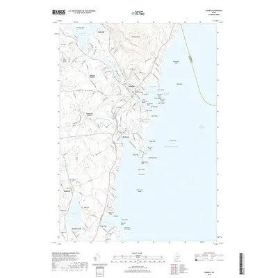
 2014 Camden2014 Print · USGSCovers Simonton Corners, including Rockland, Camden, and other nearby areas
 - 2018 Map of Camden, 2018 Print
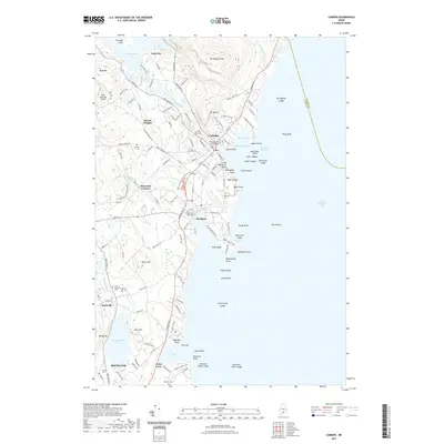
 2018 Camden2018 Print · USGSCovers Simonton Corners, including Rockland, Camden, and other nearby areas
 - 2021 Map of Camden, 2021 Print
 2021 Camden2021 Print · USGSCovers Simonton Corners, including Rockland, Camden, and other nearby areas
 - 2024 Map of Camden, 2024 Print
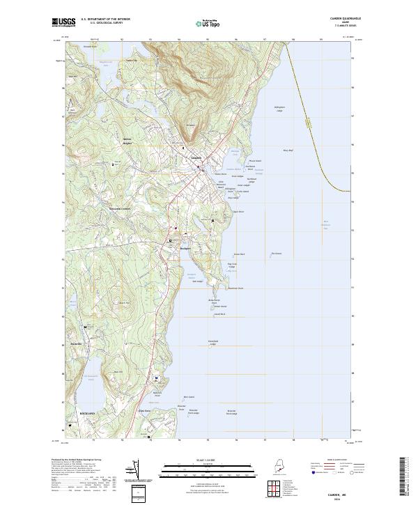 2024 Camden2024 Print · USGSThe Knox County shoreline comes alive in this contemporary view of Camden and Rockport as they meet the waters of West Penobscot Bay. Researchers can trace the legacy of coastal families at Mountain View Cem or explore the harbor approaches near Curtis Island.
End of results
Showing maps 1-6 of 6
Frequently asked questions
- What are the different types of historical maps available for Simonton Corners?
- What is the oldest map of Simonton Corners?
- Where can I purchase historical maps of Simonton Corners for my home or office?
- Where can I download high-res historical maps of Simonton Corners?
- Are there historical topographic maps available for Simonton Corners?
- Is there historical aerial imagery available for Simonton Corners?
- Where are historical maps of Simonton Corners sourced from?