Old Maps of South Springfield, Springfield for Genealogy
Trace your family roots with 14 historic maps of South Springfield. These high-res maps reveal old neighborhoods, homesites, landmarks, and streets — helping you uncover where your ancestors lived and how the area evolved over time.
- Explore historic neighborhoods: Identify where your relatives may have lived in the 1800s or 1900s.
- Compare maps over time: Trace the changes in streets, buildings, and landmarks for multi-generational research.
- Perfect for genealogy & ancestry research: Used by family historians and researchers to map out lineage and migration.
These maps are an incredible resource for exploring your personal connection to South Springfield's past.
South Springfield, Springfield maps
(14)- 1931 Map of Springfield
 1931 Springfield1931 Print · USGSPenobscot and Washington counties in the early 1930s reveal a landscape of ridges, bogs, and scattered timber camps. Genealogists can trace early rural life through features like Poplar Tavern Camp, the Dill Ridge Fire Tower, and numerous district schools like Cole Sch.4 unique versions available
 - 1934 Map of Springfield
 1934 Springfield1934 Print · USGSPenobscot County in the 1930s is a landscape of rural schoolhouses and timberlands surrounding Springfield and Carroll. Genealogists and historians can trace family-named locations such as Tolman Sch, Gowell Sch, and Bridge Farm.4 unique versions available
 - 1954 Map of Millinocket, 1968 Print
 1954 Millinocket1968 Print · USGSMaine's North Woods and the Penobscot Valley are captured here during the mid-century era of logging and rail dominance. You can trace the path of the Bangor and Aroostook Railroad through timber towns like Millinocket, Mattawamkeag, and Silver Ridge.3 unique versions available
 - 1958 Map of Millinocket
 1958 Millinocket1958 Print · USGSMaine's North Woods and the Penobscot river valley are captured here in the mid-1950s, showing a landscape of timber, rail, and wild waters. Researchers can trace the legacy of the Canadian Pacific railroad and find historic settlements like Millinocket, Sherman Station, and Mattawamkeag.
 - 1960 Map of Millinocket
 1960 Millinocket1960 Print · USGSThe Maine North Woods and Penobscot River valley are captured at mid-century during the height of the paper milling era. Researchers can trace the Appalachian Trail near Mount Katardin or locate family roots in towns like Dover-Foxcroft and Milo.3 unique versions available
 - 1975 Map of Springfield SE, 1980 Print
 1975 Springfield SE1980 Print · USGSJunior Lake and the surrounding Maine timberlands are captured in photographic detail during the mid-seventies. Researchers can examine the unaltered shorelines of Junior Lake and the rural layout of Springfield in this unique aerial perspective.
 - 1985 Map of Lincoln, 1994 Print
 1985 Lincoln1994 Print · USGSPenobscot County in the mid-eighties remains a landscape of river-based commerce and sprawling timberlands connected by rail. You can trace the historic paths of the Maine Central RR and Canadian Pacific RR or locate rural sites like Enfield Station and the Winn Cem.
 - 1986 Map of Lincoln
 1986 Lincoln1986 Print · USGSMid-century Maine settlement and industry converge along the Penobscot and Piscataquis rivers during the 1980s. Researchers can trace the rail networks of the Maine Central and Bangor and Aroostook through towns like Howland and Milo.
 - 1988 Map of Bottle Lake
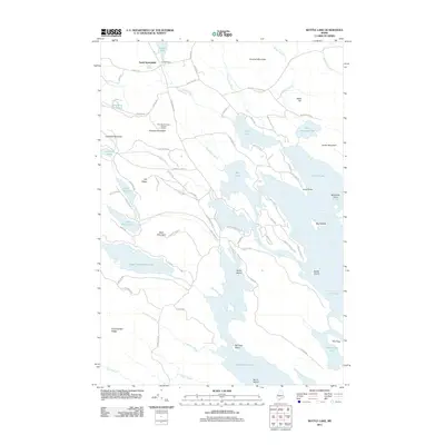
 1988 Bottle Lake1988 Print · USGSThe interconnected waterways of Penobscot and Washington counties are captured here in the late eighties, showing a landscape of timber ridges and deep glacial basins. Researchers can locate remote landmarks like the Lookout Tower on Almanac Mtn or trace early access points at McKinney Point and the Boat Landing on Duck Lake.2 unique versions available
 - 2011 Map of Bottle Lake, 2011 Print
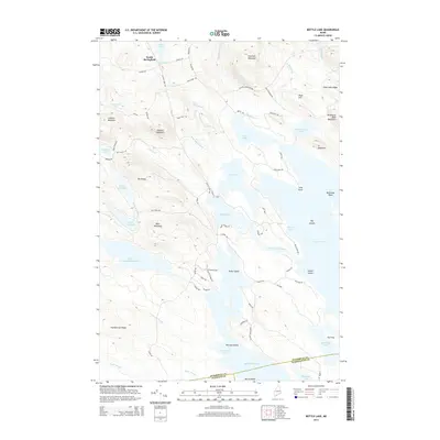
 2011 Bottle Lake2011 Print · USGSCovers South Springfield, including Springfield, Carroll Plantation, and other nearby areas
 - 2014 Map of Bottle Lake, 2014 Print
 2014 Bottle Lake2014 Print · USGSCovers South Springfield, including Springfield, Carroll Plantation, and other nearby areas
 - 2018 Map of Bottle Lake, 2018 Print
 2018 Bottle Lake2018 Print · USGSCovers South Springfield, including Springfield, Carroll Plantation, and other nearby areas
 - 2021 Map of Bottle Lake, 2021 Print
 2021 Bottle Lake2021 Print · USGSCovers South Springfield, including Springfield, Carroll Plantation, and other nearby areas
 - 2024 Map of Bottle Lake, 2024 Print
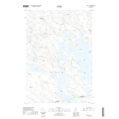
 2024 Bottle Lake2024 Print · USGSThe interconnected lakes of eastern Maine are shown in fine detail in this modern survey, highlighting the rugged terrain of Penobscot County. Researchers can locate family landmarks and early industry sites like South Springfield, Mill Privilege Lake, and Almanac Mtn.
End of results
Showing maps 1-14 of 14
Frequently asked questions
- What are the different types of historical maps available for South Springfield?
- What is the oldest map of South Springfield?
- Where can I purchase historical maps of South Springfield for my home or office?
- Where can I download high-res historical maps of South Springfield?
- Are there historical topographic maps available for South Springfield?
- Is there historical aerial imagery available for South Springfield?
- Where are historical maps of South Springfield sourced from?