2000s (21st Century) Maps of T4 Indian Purchase Township, Maine
Explore 20 historic maps of T4 Indian Purchase Township from the 2000s (21st Century). These maps offer a rare glimpse into what life looked like during the 2000s — showing old roads, neighborhoods, homes, and landmarks that have changed or disappeared over time.
Whether you're researching your family's past, planning a metal detecting trip, or studying how T4 Indian Purchase Township's landscape evolved across the 2000s, these high-resolution maps are a powerful tool for exploring the history of this region.
- Focus on a specific era: All maps on this page are from the 2000s, giving you a focused view of this time period.
- See what’s changed: Compare century-old streets, trails, and buildings to today's modern landscape using overlays and satellite layers.
- Research with precision: Use these maps for genealogy, historical research, land use analysis, or educational projects.
- View, download, or print: Maps are fully viewable online in high resolution, and can be downloaded or printed for your own records.
Start exploring T4 Indian Purchase Township's history through authentic maps from the 2000s. This is your window into the past.
T4 Indian Purchase Township, ME maps
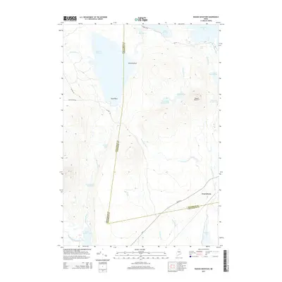
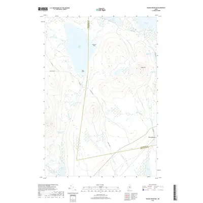
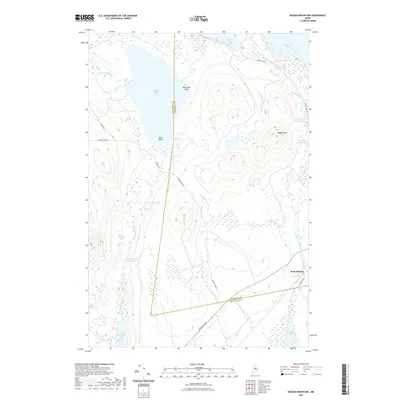
(20)- 2011 Map of Ragged Mountain, 2011 Print
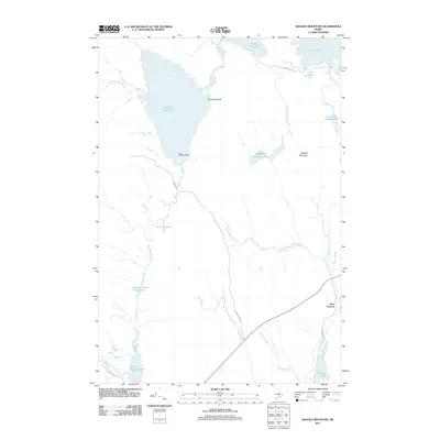 2011 Ragged Mountain2011 Print · USGSCovers T4 Indian Purchase Township, including Long A Township, Veazie Gore, and other nearby areas
 - 2011 Map of Pemadumcook Lake, 2011 Print
 2011 Pemadumcook Lake2011 Print · USGSCovers T4 Indian Purchase Township, including Ambejejus Lake, T1 R10 WELS, and other nearby areas
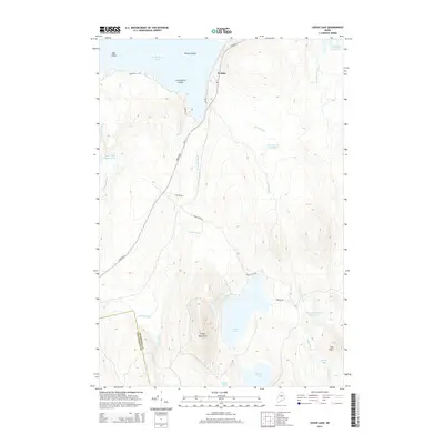
 - 2011 Map of Cedar Lake, 2011 Print
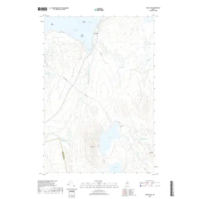
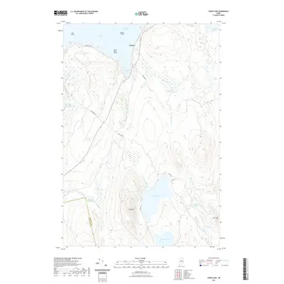
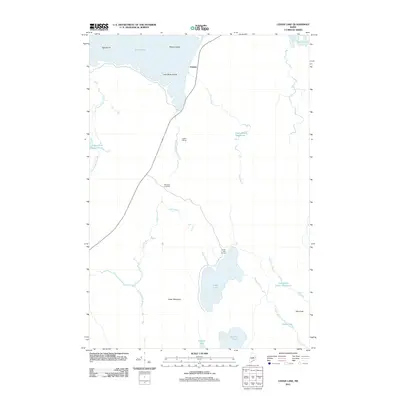 2011 Cedar Lake2011 Print · USGSCovers T4 Indian Purchase Township, including T3 Indian Purchase Township, Hopkins Academy Grant Township, and other nearby areas
 - 2011 Map of Norcross, 2011 Print
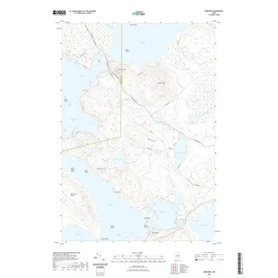
 2011 Norcross2011 Print · USGSCovers T4 Indian Purchase Township, including Millinocket, Ambejejus Lake, and other nearby areas
 - 2014 Map of Pemadumcook Lake, 2014 Print
 2014 Pemadumcook Lake2014 Print · USGSCovers T4 Indian Purchase Township, including Ambejejus Lake, T1 R10 WELS, and other nearby areas
 - 2014 Map of Ragged Mountain, 2014 Print
 2014 Ragged Mountain2014 Print · USGSCovers T4 Indian Purchase Township, including Long A Township, Veazie Gore, and other nearby areas
 - 2014 Map of Cedar Lake, 2014 Print
 2014 Cedar Lake2014 Print · USGSCovers T4 Indian Purchase Township, including T3 Indian Purchase Township, Hopkins Academy Grant Township, and other nearby areas
 - 2014 Map of Norcross, 2014 Print
 2014 Norcross2014 Print · USGSCovers T4 Indian Purchase Township, including Millinocket, Ambejejus Lake, and other nearby areas
 - 2018 Map of Pemadumcook Lake, 2018 Print
 2018 Pemadumcook Lake2018 Print · USGSCovers T4 Indian Purchase Township, including Ambejejus Lake, T1 R10 WELS, and other nearby areas
 - 2018 Map of Cedar Lake, 2018 Print
 2018 Cedar Lake2018 Print · USGSCovers T4 Indian Purchase Township, including T3 Indian Purchase Township, Hopkins Academy Grant Township, and other nearby areas
 - 2018 Map of Ragged Mountain, 2018 Print
 2018 Ragged Mountain2018 Print · USGSCovers T4 Indian Purchase Township, including Long A Township, Veazie Gore, and other nearby areas
 - 2018 Map of Norcross, 2018 Print
 2018 Norcross2018 Print · USGSCovers T4 Indian Purchase Township, including Millinocket, Ambejejus Lake, and other nearby areas
 - 2021 Map of Norcross, 2021 Print
 2021 Norcross2021 Print · USGSCovers T4 Indian Purchase Township, including Millinocket, Ambejejus Lake, and other nearby areas
 - 2021 Map of Pemadumcook Lake, 2021 Print
 2021 Pemadumcook Lake2021 Print · USGSCovers T4 Indian Purchase Township, including Ambejejus Lake, T1 R10 WELS, and other nearby areas
 - 2021 Map of Cedar Lake, 2021 Print
 2021 Cedar Lake2021 Print · USGSCovers T4 Indian Purchase Township, including T3 Indian Purchase Township, Hopkins Academy Grant Township, and other nearby areas
 - 2021 Map of Ragged Mountain, 2021 Print
 2021 Ragged Mountain2021 Print · USGSCovers T4 Indian Purchase Township, including Long A Township, Veazie Gore, and other nearby areas
 - 2024 Map of Ragged Mountain, 2024 Print
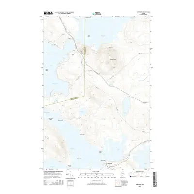
 2024 Ragged Mountain2024 Print · USGSThe Maine wilderness near the Penobscot and Piscataquis county line is captured here in its contemporary state. Researchers can trace the logging road networks including Jo-Mary Rd and locate landmarks like Balancing Rock, Black Island, and Ragged Mtn.
 - 2024 Map of Pemadumcook Lake, 2024 Print
 2024 Pemadumcook Lake2024 Print · USGSThe Maine woods and the Appalachian National Scenic Trail are captured here in the twenty-first century. Researchers can trace the rugged shoreline of Pemadumcook Lake and locate remote landmarks like Potaywadjo Ridge and Turkey Tail Lake.
 - 2024 Map of Norcross, 2024 Print
 2024 Norcross2024 Print · USGSThe lakeside community of Norcross and the surrounding timberlands are documented in this 2024 survey of the Maine woods. Researchers can trace the water levels and road networks near Millinocket Lake, North Twin Lake, and the summit of Black Cat Mtn.
 - 2024 Map of Cedar Lake, 2024 Print
 2024 Cedar Lake2024 Print · USGSThe Maine wilderness near the Penobscot and Piscataquis county border comes alive in this study of the interior lakes and timberlands. Researchers can trace the network of forest tracks like Lincoln Ridge Rd to reach remote landmarks like Cedar Mtn, Flatiron Pond, and the settlement at Perkins.
End of results
Showing maps 1-20 of 20
Top cities near T4 Indian Purchase Township
- Millinocket historical maps
- Brownville historical maps
- Lake View Plantation historical maps
- Seboeis Plantation historical maps
Top neighborhoods of T4 Indian Purchase Township
Frequently asked questions
- What are the different types of historical maps available for T4 Indian Purchase Township?
- What is the oldest map of T4 Indian Purchase Township?
- Where can I purchase historical maps of T4 Indian Purchase Township for my home or office?
- Where can I download high-res historical maps of T4 Indian Purchase Township?
- Are there historical topographic maps available for T4 Indian Purchase Township?
- Is there historical aerial imagery available for T4 Indian Purchase Township?
- Where are historical maps of T4 Indian Purchase Township sourced from?