Old Maps of Waltons Mill, Cornville for Academic Research
Study the evolution of Waltons Mill with 14 high-resolution historic maps. Whether you're teaching, researching, or modeling changes in land use, these maps provide essential visual documentation of urban, environmental, and geographic change.
- Analyze long-term change: Track patterns in development, transportation, and natural features.
- Ideal for environmental or urban studies: Support academic projects with primary historical map data.
- Use in the classroom or lab: Educators and researchers rely on these maps to bring historical context to life.
These maps are a powerful tool for teaching, research, and visualizing how Waltons Mill has changed over the decades.
Waltons Mill, Cornville maps
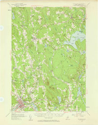
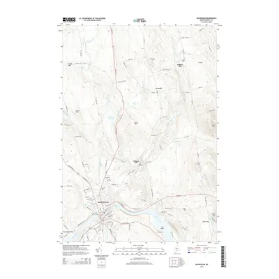
(14)- 1913 Map of Skowhegan
 1913 Skowhegan1913 Print · USGSSomerset County thrives as a hub of rail and river industry in this pre-war survey. Genealogists can trace family names through dozens of rural landmarks like Malbons Mills, the Union Church, and neighborhood schoolhouses from Athens to Canaan.4 unique versions available
 - 1948 Map of Bangor
 1948 Bangor1948 Print · USGSThe Maine coast and its industrial river valleys are captured here shortly after the war, showing the vital shipping and rail hubs of the late 1940s. Genealogists and historians can trace the tracks of the Maine Central RR connecting Bangor, Augusta, and Old Town.
 - 1955 Map of Skowhegan, 1958 Print
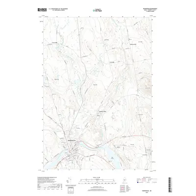
 1955 Skowhegan1958 Print · USGSSomerset County in the mid-fifties shows a landscape of busy river towns and rural school districts connected by the Maine Central railroad. Genealogists can trace family names through landmarks like Malbons Mills, Cass Corner, and the Somerset Academy.4 unique versions available
 - 1956 Map of Bangor, 1966 Print
 1956 Bangor1966 Print · USGSMid-century Maine comes alive in this survey of the rugged coast and river valleys during the 1950s. Genealogists and historians can trace the vital rail corridors of the Maine Central RR connecting timber towns like Old Town to the coast at Bar Harbor.3 unique versions available
 - 1960 Map of Bangor
 1960 Bangor1960 Print · USGSCentral Maine in the sixties reveals a landscape of river-powered industry and sprawling coastal island chains. Researchers can trace the rail corridors of the Maine Central or locate mid-century aviation landmarks like Dow Air Force Base.
 - 1961 Map of Bangor
 1961 Bangor1961 Print · USGSMid-century Maine comes alive through its busy river ports and rocky archipelagoes during a period of steady maritime and rail commerce. Researchers can trace the path of the Maine Central railroad and locate coastal landmarks from Acadia National Park to Vinalhaven Island.
 - 1975 Map of Skowhegan SW, 1980 Print
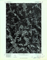 1975 Skowhegan SW1980 Print · USGSSkowhegan and the Kennebec River valley are captured in this mid-seventies aerial survey of central Maine. Trace the historical footprints of industrial sites like Malbons Mills and Lower Mill or the shoreline of Wesserunsett Lake.
 - 1985 Map of Skowhegan, 1986 Print
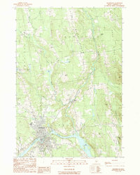
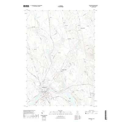
 1985 Skowhegan1986 Print · USGSCentral Maine in the mid-eighties shows a landscape of river-driven industry and rural crossroads. Genealogists can trace family names and farmsteads near Lake George or along the Maine Central Railroad through Pittsfield and Burnham.2 unique versions available
 - 1989 Map of Skowhegan
 1989 Skowhegan1989 Print · USGSThe Kennebec River valley in the late 1980s shows a landscape of river-bend industry and upland ridges. Researchers can locate specific local landmarks such as Malbons Mills, the Drive-In Theater, and the historic Old Belgrade Grade.
 - 2011 Map of Skowhegan, 2011 Print
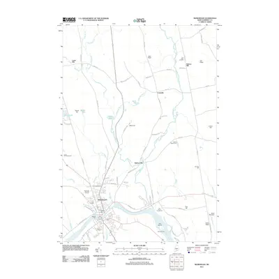 2011 Skowhegan2011 Print · USGSCovers Waltons Mill, including Skowhegan, Madison, and other nearby areas
 - 2014 Map of Skowhegan, 2014 Print
 2014 Skowhegan2014 Print · USGSCovers Waltons Mill, including Skowhegan, Madison, and other nearby areas
 - 2018 Map of Skowhegan, 2018 Print
 2018 Skowhegan2018 Print · USGSCovers Waltons Mill, including Skowhegan, Madison, and other nearby areas
 - 2021 Map of Skowhegan, 2021 Print
 2021 Skowhegan2021 Print · USGSCovers Waltons Mill, including Skowhegan, Madison, and other nearby areas
 - 2024 Map of Skowhegan, 2024 Print
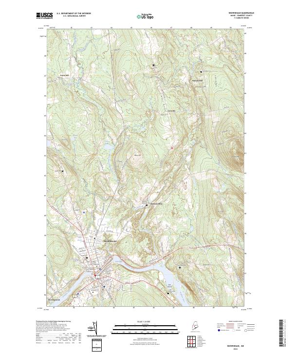 2024 Skowhegan2024 Print · USGSModern-day Skowhegan and its rural neighbors are shown in detail, capturing the area's ongoing relationship with the Kennebec River. Trace local family history through numerous landmarks like Malbons Mill Cem and old settlements at Malbons Mills.
End of results
Showing maps 1-14 of 14
Frequently asked questions
- What are the different types of historical maps available for Waltons Mill?
- What is the oldest map of Waltons Mill?
- Where can I purchase historical maps of Waltons Mill for my home or office?
- Where can I download high-res historical maps of Waltons Mill?
- Are there historical topographic maps available for Waltons Mill?
- Is there historical aerial imagery available for Waltons Mill?
- Where are historical maps of Waltons Mill sourced from?