2020s Maps of Saint Albans, Maine
Explore 4 historic maps of Saint Albans from the 2020s. These maps offer a rare glimpse into what life looked like during the 2020s — showing old roads, neighborhoods, homes, and landmarks that have changed or disappeared over time.
Whether you're researching your family's past, planning a metal detecting trip, or studying how Saint Albans's landscape evolved across the 2020s, these high-resolution maps are a powerful tool for exploring the history of this region.
- Focus on a specific era: All maps on this page are from the 2020s, giving you a focused view of this time period.
- See what’s changed: Compare century-old streets, trails, and buildings to today's modern landscape using overlays and satellite layers.
- Research with precision: Use these maps for genealogy, historical research, land use analysis, or educational projects.
- View, download, or print: Maps are fully viewable online in high resolution, and can be downloaded or printed for your own records.
Start exploring Saint Albans's history through authentic maps from the 2020s. This is your window into the past.
Saint Albans, ME maps
(4)- 2021 Map of Corinna, 2021 Print
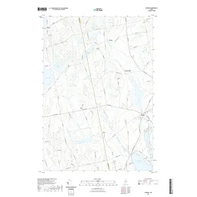 2021 Corinna2021 Print · USGSCovers Saint Albans, including Dexter, Newport, and other nearby areas
 - 2021 Map of Hartland, 2021 Print
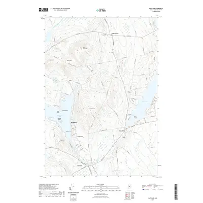 2021 Hartland2021 Print · USGSCovers Saint Albans, including Palmyra, Hartland, and other nearby areas
 - 2024 Map of Hartland, 2024 Print
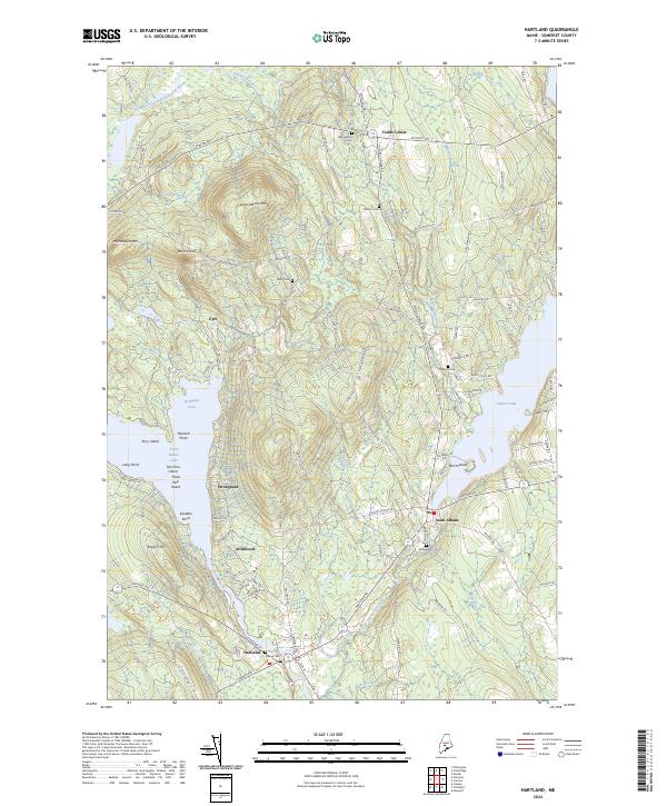 2024 Hartland2024 Print · USGSSomerset County's lakeside settlements and wooded uplands appear in clear detail during this modern survey. Genealogists and historians can trace family locations near the Village Cem and Ireland Cem, or explore the shores of Great Moose Lake and Indian Pond.
 - 2024 Map of Corinna, 2024 Print
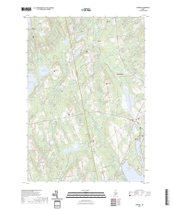 2024 Corinna2024 Print · USGSCorinna and the surrounding rural townships of central Maine are shown here in modern detail. Researchers can trace family history through numerous landmarks like Lincoln Mills, Weeks Cem, and the shores of Sebasticook Lake.
End of results
Showing maps 1-4 of 4
Top cities near Saint Albans
- Skowhegan historical maps
- Dover-Foxcroft historical maps
- Pittsfield historical maps
- Dexter historical maps
- Clinton historical maps
- Newport historical maps
See more
Top neighborhoods of Saint Albans
- Johnson Corner historical maps
- Nutter Corner historical maps
- Dixie Corner historical maps
- Lyford Corner historical maps
- Dow Corner historical maps
- Stronghold historical maps
See more
Frequently asked questions
- What are the different types of historical maps available for Saint Albans?
- What is the oldest map of Saint Albans?
- Where can I purchase historical maps of Saint Albans for my home or office?
- Where can I download high-res historical maps of Saint Albans?
- Are there historical topographic maps available for Saint Albans?
- Is there historical aerial imagery available for Saint Albans?
- Where are historical maps of Saint Albans sourced from?