2000s (21st Century) Maps of Taunton & Raynham Academy Grant, Maine
Explore 20 historic maps of Taunton & Raynham Academy Grant from the 2000s (21st Century). These maps offer a rare glimpse into what life looked like during the 2000s — showing old roads, neighborhoods, homes, and landmarks that have changed or disappeared over time.
Whether you're researching your family's past, planning a metal detecting trip, or studying how Taunton & Raynham Academy Grant's landscape evolved across the 2000s, these high-resolution maps are a powerful tool for exploring the history of this region.
- Focus on a specific era: All maps on this page are from the 2000s, giving you a focused view of this time period.
- See what’s changed: Compare century-old streets, trails, and buildings to today's modern landscape using overlays and satellite layers.
- Research with precision: Use these maps for genealogy, historical research, land use analysis, or educational projects.
- View, download, or print: Maps are fully viewable online in high resolution, and can be downloaded or printed for your own records.
Start exploring Taunton & Raynham Academy Grant's history through authentic maps from the 2000s. This is your window into the past.
Taunton & Raynham Academy Grant, ME maps
(20)- 2011 Map of Indian Pond North, 2011 Print
 2011 Indian Pond North2011 Print · USGSCovers Taunton & Raynham Academy Grant, including Misery Gore, Sapling Township, and other nearby areas
 - 2011 Map of Brassua Lake East, 2011 Print
 2011 Brassua Lake East2011 Print · USGSCovers Taunton & Raynham Academy Grant, including Rockwood Strip T2 R1 NBKP, Kineo Township, and other nearby areas
 - 2011 Map of Mount Kineo, 2011 Print
 2011 Mount Kineo2011 Print · USGSCovers Taunton & Raynham Academy Grant, including Misery Gore, Sandbar Tract Township, and other nearby areas
 - 2011 Map of Moosehead, 2011 Print
 2011 Moosehead2011 Print · USGSCovers Taunton & Raynham Academy Grant, including Misery Gore, Sandbar Tract Township, and other nearby areas
 - 2014 Map of Indian Pond North, 2014 Print
 2014 Indian Pond North2014 Print · USGSCovers Taunton & Raynham Academy Grant, including Misery Gore, Sapling Township, and other nearby areas
 - 2014 Map of Mount Kineo, 2014 Print
 2014 Mount Kineo2014 Print · USGSCovers Taunton & Raynham Academy Grant, including Misery Gore, Sandbar Tract Township, and other nearby areas
 - 2014 Map of Moosehead, 2014 Print
 2014 Moosehead2014 Print · USGSCovers Taunton & Raynham Academy Grant, including Misery Gore, Sandbar Tract Township, and other nearby areas
 - 2014 Map of Brassua Lake East, 2014 Print
 2014 Brassua Lake East2014 Print · USGSCovers Taunton & Raynham Academy Grant, including Rockwood Strip T2 R1 NBKP, Kineo Township, and other nearby areas
 - 2018 Map of Indian Pond North, 2018 Print
 2018 Indian Pond North2018 Print · USGSCovers Taunton & Raynham Academy Grant, including Misery Gore, Sapling Township, and other nearby areas
 - 2018 Map of Brassua Lake East, 2018 Print
 2018 Brassua Lake East2018 Print · USGSCovers Taunton & Raynham Academy Grant, including Rockwood Strip T2 R1 NBKP, Kineo Township, and other nearby areas
 - 2018 Map of Moosehead, 2018 Print
 2018 Moosehead2018 Print · USGSCovers Taunton & Raynham Academy Grant, including Misery Gore, Sandbar Tract Township, and other nearby areas
 - 2018 Map of Mount Kineo, 2018 Print
 2018 Mount Kineo2018 Print · USGSCovers Taunton & Raynham Academy Grant, including Misery Gore, Sandbar Tract Township, and other nearby areas
 - 2021 Map of Indian Pond North, 2021 Print
 2021 Indian Pond North2021 Print · USGSCovers Taunton & Raynham Academy Grant, including Misery Gore, Sapling Township, and other nearby areas
 - 2021 Map of Brassua Lake East, 2021 Print
 2021 Brassua Lake East2021 Print · USGSCovers Taunton & Raynham Academy Grant, including Rockwood Strip T2 R1 NBKP, Kineo Township, and other nearby areas
 - 2021 Map of Moosehead, 2021 Print
 2021 Moosehead2021 Print · USGSCovers Taunton & Raynham Academy Grant, including Misery Gore, Sandbar Tract Township, and other nearby areas
 - 2021 Map of Mount Kineo, 2021 Print
 2021 Mount Kineo2021 Print · USGSCovers Taunton & Raynham Academy Grant, including Misery Gore, Sandbar Tract Township, and other nearby areas
 - 2024 Map of Brassua Lake East, 2024 Print
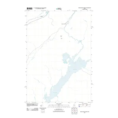
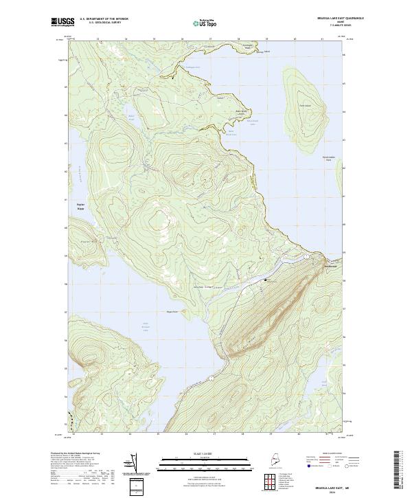 2024 Brassua Lake East2024 Print · USGSThe Somerset County wilderness comes into focus in the early twenty-first century, centered on the transition from the Moose River to Moosehead Lake. Researchers can trace the local landscape around Rockwood, the grounds of Saint Josephs Cem, and the prominent rise of Blue Ridge.
 - 2024 Map of Mount Kineo, 2024 Print
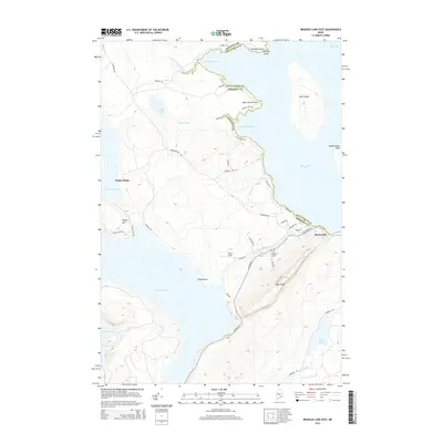
 2024 Mount Kineo2024 Print · USGSModern-day Moosehead Lake is shown here in its current state, centered on the landmark peak of Mt Kineo. Genealogists and researchers can trace local routes like Old Mill Rd and identify specific island locations including Masterman Island.
 - 2024 Map of Moosehead, 2024 Print
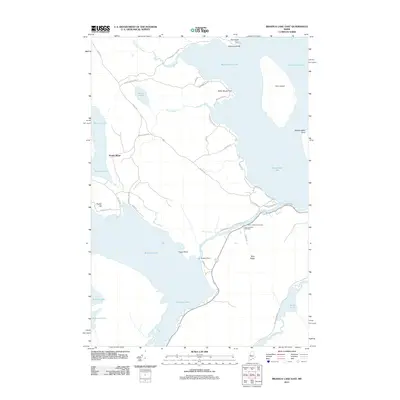
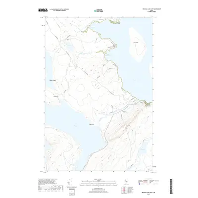
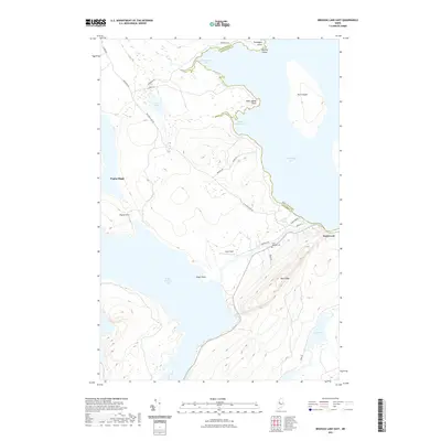
 2024 Moosehead2024 Print · USGSPiscataquis and Somerset counties meet here in the modern day, centered on the island-dotted waters of Moosehead Lake. Researchers can trace the western shore at Moosehead or explore the heights of Big Moose Mtn and the shores of Burnham Pond.
 - 2024 Map of Indian Pond North, 2024 Print
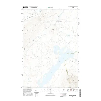
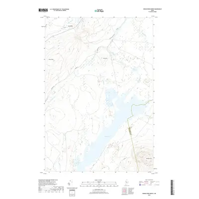
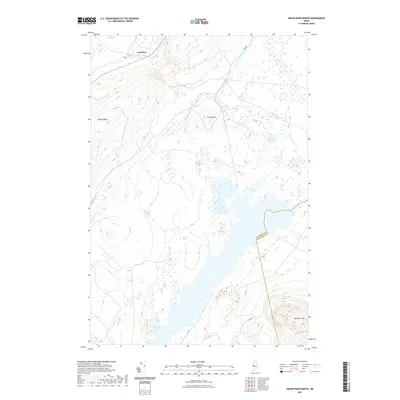
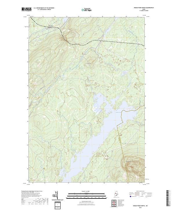 2024 Indian Pond North2024 Print · USGSThe northern reaches of Somerset County are shown in contemporary detail, where the settlement of Tarratine meets the vast waters of Indian Pond. Modern researchers can trace the routes of Somerset Rd and Its 88 through landmarks like Big Moose Mtn and Misery Ridge.
End of results
Showing maps 1-20 of 20
Top cities near Taunton & Raynham Academy Grant
Top neighborhoods of Taunton & Raynham Academy Grant
Frequently asked questions
- What are the different types of historical maps available for Taunton & Raynham Academy Grant?
- What is the oldest map of Taunton & Raynham Academy Grant?
- Where can I purchase historical maps of Taunton & Raynham Academy Grant for my home or office?
- Where can I download high-res historical maps of Taunton & Raynham Academy Grant?
- Are there historical topographic maps available for Taunton & Raynham Academy Grant?
- Is there historical aerial imagery available for Taunton & Raynham Academy Grant?
- Where are historical maps of Taunton & Raynham Academy Grant sourced from?