Old Maps of Milltown, Calais for Academic Research
Study the evolution of Milltown with 13 high-resolution historic maps. Whether you're teaching, researching, or modeling changes in land use, these maps provide essential visual documentation of urban, environmental, and geographic change.
- Analyze long-term change: Track patterns in development, transportation, and natural features.
- Ideal for environmental or urban studies: Support academic projects with primary historical map data.
- Use in the classroom or lab: Educators and researchers rely on these maps to bring historical context to life.
These maps are a powerful tool for teaching, research, and visualizing how Milltown has changed over the decades.
Milltown, Calais maps
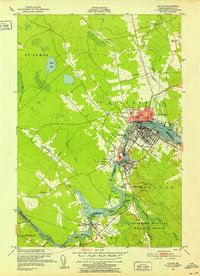
(13)- 1929 Map of Calais
 1929 Calais1929 Print · USGSThe international border along the St. Croix River comes alive in the late 1920s, showing a landscape defined by rail lines and river industry. Genealogists and historians can trace the foundations of local life at Grove PO, Damon Sch, and the riverside works at Milltown.4 unique versions available
 - 1932 Map of Calais
 1932 Calais1932 Print · USGSCoastal Washington County at the start of the 1930s is defined by the international river border and the busy corridors of the Maine Central RR. Genealogists and local historians can locate old rural schoolhouses like Damon Sch or trace the timber-and-rail industry through Woodland Junc and Young Siding.4 unique versions available
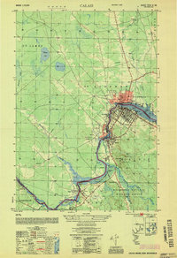
 - 1949 Map of Calais, 1952 Print
 1949 Calais1952 Print · USGSLife along the international border in the late 1940s centered on the St Croix River and its shared industrial heritage. Researchers can trace the rail lines of the Maine Central and find localized landmarks like Upper Mills, Campbells Siding, and the St Croix Golf Course.3 unique versions available
 - 1954 Map of Calais
 1954 Calais1954 Print · USGSIn the mid-1950s, the international border at Calais was a bustling corridor of rail and river industry. Researchers can trace the legacy of timber and transport through sites like Union Mills, the Canadian Pacific line, and Campbells Siding.
 - 1957 Map of Fredericton, 1981 Print
 1957 Fredericton1981 Print · USGSThe New Brunswick and Maine borderlands come into focus in the mid-fifties, dominated by the Saint John River and massive military tracts. Genealogists can locate riverfront hamlets like Maugerville or inland sites like Scotch Settlement along the Canadian Pacific rail line.
 - 1963 Map of Fredericton
 1963 Fredericton1963 Print · USGSThe Saint John River valley and the Maine-New Brunswick border are captured here during the early sixties. Researchers can trace the Canadian Pacific rail lines through rural settlements like Jewetts Mills, Mckeens Corner, and Scotch Settlement.
 - 1986 Map of Calais
 1986 Calais1986 Print · USGSCoastal and interior Washington County are captured here in the mid-1980s, where the international border follows the winding St Croix River. Genealogists and historians can trace the rail lines of the Maine Central and find landmarks like Red Beach and Princeton Airport.
 - 1994 Map of Calais
 1994 Calais1994 Print · USGSEastern Maine's river and lake country comes into focus in the 1990s, centered on the international border at Calais and the vast Passamaquoddy Indian Reservation. Researchers can trace the water-linked settlements of Grand Lake Stream, the airfield at Princeton Airport, and the industrial heritage of Woodland.
 - 2011 Map of Calais, 2011 Print
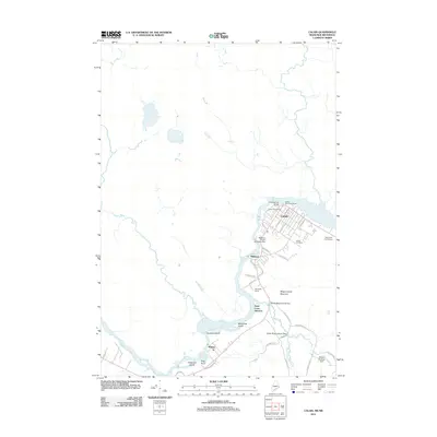 2011 Calais2011 Print · USGSCovers Milltown, including Saint Stephen, Calais, and other nearby areas
 - 2014 Map of Calais, 2014 Print
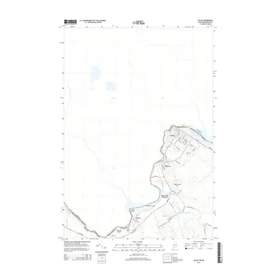 2014 Calais2014 Print · USGSCovers Milltown, including Saint Stephen, Calais, and other nearby areas
 - 2018 Map of Calais, 2018 Print
 2018 Calais2018 Print · USGSCovers Milltown, including Saint Stephen, Calais, and other nearby areas
 - 2021 Map of Calais, 2021 Print
 2021 Calais2021 Print · USGSCovers Milltown, including Saint Stephen, Calais, and other nearby areas
 - 2024 Map of Calais, 2024 Print
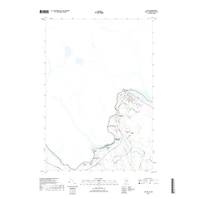
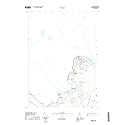
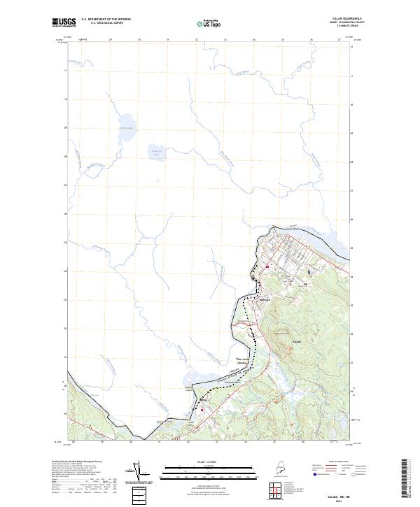 2024 Calais2024 Print · USGSThe international border at the riverfront in eastern Maine defines this contemporary study of settlement and conservation. Researchers can trace the layout of Milltown and Baring, or locate family sites near Calais Cem and Magurrewock Mtn.
End of results
Showing maps 1-13 of 13
Frequently asked questions
- What are the different types of historical maps available for Milltown?
- What is the oldest map of Milltown?
- Where can I purchase historical maps of Milltown for my home or office?
- Where can I download high-res historical maps of Milltown?
- Are there historical topographic maps available for Milltown?
- Is there historical aerial imagery available for Milltown?
- Where are historical maps of Milltown sourced from?