Old Maps of Milbridge, Maine for Metal Detecting
Plan your next treasure hunt with 48 historic maps of Milbridge. Find old homesites, ghost towns, trails, and gathering spots that may be lost to time — perfect for identifying promising metal detecting locations.
- Locate forgotten sites: Uncover places like long-lost settlements, abandoned rail lines, or gathering spots.
- Plan better hunts: Use map overlays combined with LiDAR or satellite views to narrow in on historically rich areas.
- Made for detectorists: Thousands of hobbyists use these maps to discover relics, coins, and hidden history.
Use these historic maps to boost your research and find new opportunities beneath the surface of Milbridge.
Milbridge, ME maps
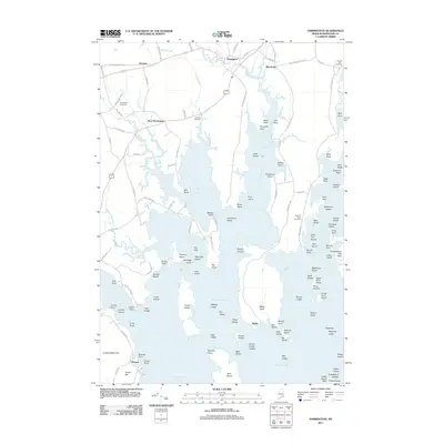
(48)- 1902 Map of Cherryfield, 1962 Print
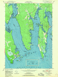
 1902 Cherryfield1962 Print · USGSCoastal Washington County comes alive in the early 1900s, showing the vital connections between tidal rivers and the rails. Genealogists can trace family roots in Milbridge and Cherryfield, or locate old landings along the Steamboat Route.2 unique versions available
 - 1904 Map of Cherryfield
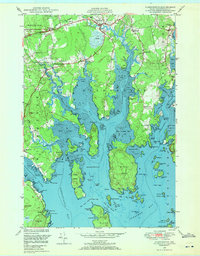
 1904 Cherryfield1904 Print · USGSThe coastal and barrens landscape of Washington County is captured here at the start of the twentieth century. Genealogists and local historians can trace family-named points and early settlements from Cherryfield down to the shores of Narraguagus Bay and Millbridge.5 unique versions available
 - 1904 Map of Petit Manan
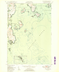
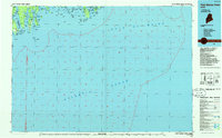
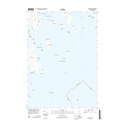
 1904 Petit Manan1904 Print · USGSThe rugged coastline of Washington and Hancock Counties comes alive in this early-century survey. Trace maritime history through the Steamboat Route and local landmarks like Corea, the Petit Manan I. L.H., and Bois Bubert Island.4 unique versions available
 - 1942 Map of Cherryfield
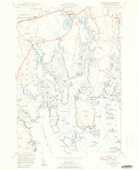
 1942 Cherryfield1942 Print · USGSCoastal Washington County in the early 1940s reveals a landscape of tidal bays and glacial barrens. Trace family roots and old land patterns in Cherryfield, Millbridge, and Harrington, or locate the scientific U S C & G SURVEY BASE LINE.
 - 1948 Map of Petit Manan, 1970 Print
 1948 Petit Manan1970 Print · USGSThe coastal village of Corea and the surrounding bays of Washington County are captured here in the years following World War II. Researchers can trace family sites near Corea Cem, identify early coastal landmarks like Eagle Hill, and explore the maritime geography of Steuben Hbr and Dyer Harbor.3 unique versions available
 - 1948 Map of Harrington, 1971 Print
 1948 Harrington1971 Print · USGSThe Downeast coast of Maine in the late 1940s reveals a landscape of tidal rivers and scattered coastal hamlets. Genealogists and historians can trace the foundations of Harrington and Marshville, locating community landmarks like Flat Bay Cem, Union Ch, and Eastside Sch.2 unique versions available
 - 1948 Map of Cherryfield, 1978 Print
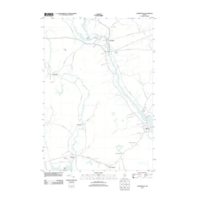
 1948 Cherryfield1978 Print · USGSCoastal Washington County is captured here in the mid-twentieth century as the rail and river networks connected inland timber to the sea. Researchers can trace family sites in Cherryfield and Milbridge, or locate small historic settlements like Smithville and Unionville.
 - 1950 Map of Petit Manan
 1950 Petit Manan1950 Print · USGSCoastal Washington and Hancock counties are seen here at mid-century, defined by lobster harbors and the shifting tides of the Atlantic. Researchers can trace family names and local landmarks from Corea to Dyer Harbor, including the Corea Cem and Long Mill Cove.
 - 1950 Map of Cherryfield
 1950 Cherryfield1950 Print · USGSThe Narraguagus River valley and the coastal harbors of Washington County are shown here in the years following World War II. Local historians can trace the Maine Central railroad line through Unionville and Cherryfield, or locate family sites near Evergreen Cem and Steuben Harbor.
 - 1950 Map of Bois Bubert
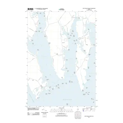
 1950 Bois Bubert1950 Print · USGSThe Maine coastline near Addison and Harrington is captured here at the mid-century, showing a maritime landscape of islands and harbors. Researchers can trace family-named landmarks like Tom Leighton Point and find offshore aids like the lighthouse.3 unique versions available
 - 1950 Map of Petit Manan
 1950 Petit Manan1950 Print · USGSThe Downeast shoreline around Corea and Pigeon Hill is captured here at the mid-century, before modern development changed the coast. Trace family roots at Corea Cem and explore the historic Carrying Place between the harbor and the sea.
 - 1951 Map of Harrington
 1951 Harrington1951 Print · USGSCoastal Washington County is captured here in the mid-century, showcasing a landscape of tidal inlets and small Down East villages. Researchers can locate family landmarks like Rock Maple Cem, the Union Ch, and rural schoolhouses including Marshville Sch.2 unique versions available
 - 1953 Map of Bois Bubert
 1953 Bois Bubert1953 Print · USGSCoastal Washington County is seen here in the early 1950s, a period defined by its intricate network of islands and working waterfronts. Researchers can trace historic maritime landmarks and family-named points like Tom Leighton Point, Jordans Delight, and the Trafton Halftide Beacon.
 - 1954 Map of Cherryfield
 1954 Cherryfield1954 Print · USGSThe Narraguagus River valley and the coastal reaches of Washington County are shown here in the mid-fifties. Researchers can trace the Maine Central rail line through rural outposts like Unionville and Smithville or locate the Evergreen Cem near the riverbanks.
 - 1961 Map of Eastport
 1961 Eastport1961 Print · USGSThe maritime borderlands of Maine and New Brunswick are captured here in the early sixties, showing a world defined by the Bay of Fundy. Researchers can trace the Maine Central Railroad to Machiasport or explore remote island villages like Grand Harbour and Welchpool.
 - 1969 Map of Eastport
 1969 Eastport1969 Print · USGSThe maritime borderlands of Washington County and New Brunswick appear in detail during the late sixties. Researchers can trace historic rail lines like the Maine Central Railroad and explore coastal settlements from Machias to St. Andrews.
 - 1976 Map of Eastport
 1976 Eastport1976 Print · USGSThe maritime borderlands of Maine and Nova Scotia come alive in this mid-seventies survey of the Downeast coast. Genealogists and historians can trace the shoreline settlements of Eastport, Lubec, and Machias, or cross the channel to find Acadian villages like Church Point and Meteghan Centre.
 - 1985 Map of Machias, 1986 Print
 1985 Machias1986 Print · USGSThe Downeast coast of Maine in the 1980s reveals a landscape of deep-water bays, tidal rivers, and isolated timberlands. Researchers can trace the Maine Central rail line and locate coastal landmarks from Leighton Point to the U.S. Naval Radio Station.
 - 1986 Map of Petit Manan Point
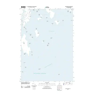
 1986 Petit Manan Point1986 Print · USGSThe Downeast Maine coastline in the mid-eighties was a complex landscape of harbors and island chains. Genealogists and historians can trace coastal settlements and maritime landmarks like the Lighthouse on Petit Manan Point and the islands of Mistake Harbor.2 unique versions available
 - 1994 Map of Machias
 1994 Machias1994 Print · USGSThe Downeast coast of Maine in the 1990s is captured here, from the Narraguagus River to the Canadian border. Genealogists and historians can trace coastal settlements like Jonesboro and Addison or locate the U.S. Naval Radio Station and Moosehorn National Wildlife Refuge.
 - 2011 Map of Cherryfield, 2011 Print
 2011 Cherryfield2011 Print · USGSCovers Milbridge, including Gouldsboro, Steuben, and other nearby areas
 - 2011 Map of Bois Bubert, 2011 Print
 2011 Bois Bubert2011 Print · USGSCovers Milbridge, including Addison, Steuben, and other nearby areas
 - 2011 Map of Petit Manan Point, 2011 Print
 2011 Petit Manan Point2011 Print · USGSCovers Milbridge, including Gouldsboro, Steuben, and other nearby areas
 - 2011 Map of Harrington, 2011 Print
 2011 Harrington2011 Print · USGSCovers Milbridge, including Addison, Cherryfield, and other nearby areas
 - 2014 Map of Bois Bubert, 2014 Print
 2014 Bois Bubert2014 Print · USGSCovers Milbridge, including Addison, Steuben, and other nearby areas
Showing maps 1-25 of 48
Top cities near Milbridge
- Gouldsboro historical maps
- Jonesport historical maps
- Sullivan historical maps
- Addison historical maps
- Steuben historical maps
- Cherryfield historical maps
See more
Top neighborhoods of Milbridge
Frequently asked questions
- What are the different types of historical maps available for Milbridge?
- What is the oldest map of Milbridge?
- Where can I purchase historical maps of Milbridge for my home or office?
- Where can I download high-res historical maps of Milbridge?
- Are there historical topographic maps available for Milbridge?
- Is there historical aerial imagery available for Milbridge?
- Where are historical maps of Milbridge sourced from?