Old Maps of Gortner, Maryland
Explore 18 old maps of Gortner, spanning from 1895 to today. These high-resolution historic maps reveal how streets, neighborhoods, landmarks, and natural features evolved over time — perfect for genealogy, metal detecting, research, and local history exploration.
What you can do with these maps:
- See how Gortner changed over time: Compare historical maps to modern-day views to trace roads, homesites, rail lines & more.
- View detailed metadata: Each map includes creators, publishers, year, scale, and archive source.
- Overlay maps with satellite & LiDAR: Visualize the past alongside modern tools to explore terrain & human change.
- Trusted historical sources: Maps sourced from the USGS, Library of Congress, and other archives.
- Access maps your way: View online, download high-res files, or order prints for personal or research use.
Start exploring old maps of Gortner to uncover forgotten places, hidden landmarks, and the deep history beneath your feet.
Gortner, MD maps
(18)- 1895 Map of Piedmont
 1895 Piedmont1895 Print · USGSThe West Virginia and Maryland borderlands come to life in the 1890s, when coal and timber drove the expansion of the Potomac River valleys. Genealogists can trace the early industrial roots of Piedmont, locate the historic Fairfax Stone, or find the long-lost operations at Rees Tannery.4 unique versions available
 - 1899 Map of Oakland, 1961 Print
 1899 Oakland1961 Print · USGSGarrett County highlands at the end of the nineteenth century reveal a landscape of mountain resorts and timber railroads. Trace the B. & O. R. R. through Oakland or locate early landmarks like Fort Pendleton and Gnegy Church.
 - 1900 Map of Oakland
 1900 Oakland1900 Print · USGSGarrett County and the West Virginia borderlands appear at the turn of the century as a landscape of mountain resorts and rail towns. Genealogists can trace family names at Gnegy Church, locate old stations like Altamont, and explore early settlements from Crellin to Bayard.5 unique versions available
 - 1948 Map of Cumberland
 1948 Cumberland1948 Print · USGSMid-century Appalachia and the Shenandoah Valley are shown in detail, documenting the industrial and transportation hubs of the tri-state area. Genealogists can trace family roots through settlements like Double Tollgate and Bunker Hill or along the Baltimore & Ohio RR.3 unique versions available
 - 1948 Map of Table Rock, 1962 Print
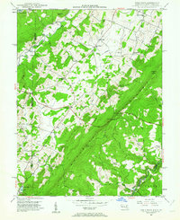 1948 Table Rock1962 Print · USGSGarrett County high country and the West Virginia borderlands appear here as they were just after the war. Researchers can trace rural life through landmarks like Sunnyside School and Gnegy Church or follow the Western Maryland Railroad through Wilson.5 unique versions available
 - 1949 Map of Table Rock
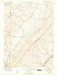 1949 Table Rock1949 Print · USGSThe Garrett County highlands and the West Virginia borderlands meet here in the late 1940s, split by the massive ridge of Little Backbone Mountain. Genealogists can trace family footprints at Beckman Cem, Gnegy Ch, or the vanished schoolrooms of Lyndale Sch.2 unique versions available
 - 1952 Map of Cumberland
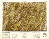 1952 Cumberland1952 Print · USGSThe Potomac Highlands and the Shenandoah Valley are revealed in this early 1950s survey of the Appalachian interior. Researchers can trace the river-and-rail corridors connecting Cumberland, Winchester, and the recreational waters of Deep Creek Lake.
 - 1956 Map of Cumberland, 1966 Print
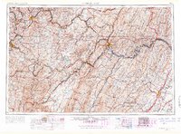 1956 Cumberland1966 Print · USGSThe tri-state Highlands in the mid-1950s show a landscape shaped by coal, timber, and the massive presence of the Baltimore & Ohio RR. Researchers can trace the industrial corridor from Cumberland through the Allegheny Mountains to mountain retreats like Deep Creek Lake.6 unique versions available
 - 1957 Map of Cumberland
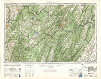 1957 Cumberland1957 Print · USGSThe Potomac River valley and the ridges of the Allegheny Front define this mid-century landscape at the intersection of Maryland, West Virginia, and Pennsylvania. Trace the steam-era rail lines of the Baltimore and Ohio RR or locate rural landmarks like St Stephens Church and Stony River Dam.
 - 1961 Map of Cumberland
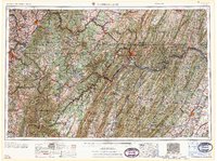 1961 Cumberland1961 Print · USGSThe tri-state highlands of Maryland, West Virginia, and Pennsylvania are shown in the mid-twentieth century as a complex landscape of ridges and river valleys. Researchers can trace the winding Potomac River and find old rail-and-river towns like Cumberland, Keyser, and Morgantown.
 - 1962 Map of Cumberland
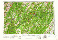 1962 Cumberland1962 Print · USGSThe central Appalachians meet at the height of the mid-century industrial era, showing the rugged topography between Morgantown and Winchester. Genealogists can trace family lands near Fort Necessity or along the vital Baltimore & Ohio RR corridors.
 - 1981 Map of Kingwood, 1982 Print
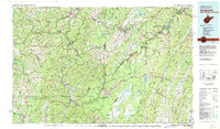 1981 Kingwood1982 Print · USGSThe West Virginia highlands in the early eighties were a hub of mountain railroading and wilderness conservation. Trace the path of the Baltimore & Ohio RR through Kingwood or explore the early footprints of Canaan Valley State Park and Dolly Sods.
 - 1997 Map of Table Rock, 2001 Print
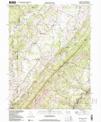 1997 Table Rock2001 Print · USGSHigh atop the Maryland and West Virginia border in the late twentieth century, this area reveals a landscape of mountain ridges and rural hamlets. Genealogists can locate family landmarks like Sunnyside Grange Hall, Beckman Cemetery, and Swan Meadow School.2 unique versions available
 - 2011 Map of Table Rock, 2011 Print
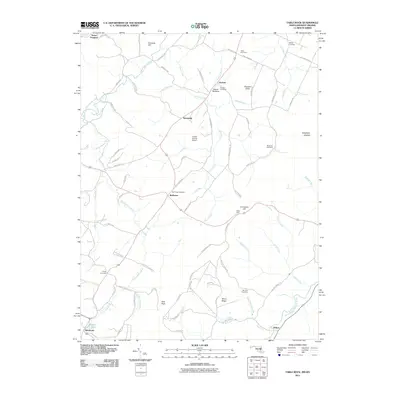 2011 Table Rock2011 Print · USGSThe Maryland and West Virginia borderlands are documented here at the start of the 2010s, showing a high Appalachian landscape of family farms and mountain river forks. Genealogists and local historians can trace legacy sites like Triple Silo Farm, Gortner Cemetery, and the community of Redhouse.
 - 2014 Map of Table Rock, 2014 Print
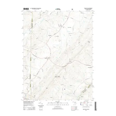 2014 Table Rock2014 Print · USGSThe high plateau of the Maryland-West Virginia border comes alive in this survey of the Allegheny Mountains and the Youghiogheny River headwaters. Genealogists can trace early families through several upland burial sites like Gortner Cem, Gnegy Cem, and Beckman Cem.
 - 2016 Map of Table Rock, 2016 Print
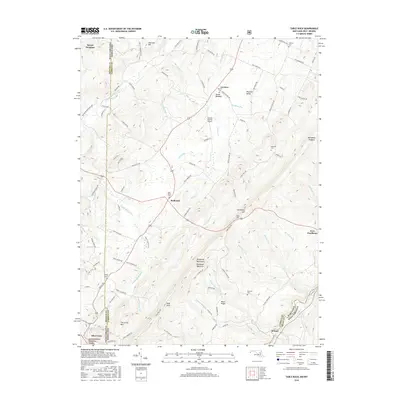 2016 Table Rock2016 Print · USGSThe West Virginia and Maryland borderlands come alive in the mid-2010s, showing the high ridges and river valleys of the Allegheny Mountains. Local researchers can locate family burial sites at Gortner Cem and Red House Cem or trace the Youghiogheny River past Fort Pendleton.
 - 2019 Map of Table Rock, 2019 Print
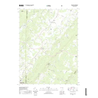 2019 Table Rock2019 Print · USGSThe Maryland and West Virginia borderlands appear in detail on this late-2010s survey of the high Allegheny ridges. Genealogists can trace family sites at Gortner Cem and Red House Cem while following the path of the Youghiogheny River.
 - 2023 Map of Table Rock, 2023 Print
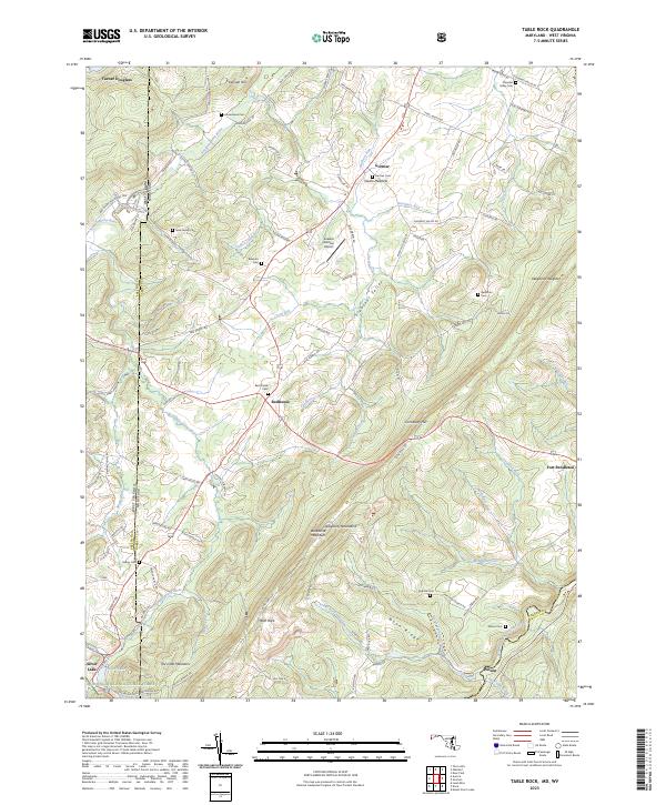 2023 Table Rock2023 Print · USGSThe high Allegheny plateau comes to life in this contemporary survey of the Maryland and West Virginia borderlands. Local historians can trace family plots at Nine Family Cem and Red House Cem or explore the mountain settlements of Redhouse and Gortner.
End of results
Showing maps 1-18 of 18
Top cities near Gortner
- Kingwood historical maps
- Mountain Lake Park historical maps
- Oakland historical maps
- Terra Alta historical maps
- Rowlesburg historical maps
- Davis historical maps
See more
Frequently asked questions
- What are the different types of historical maps available for Gortner?
- What is the oldest map of Gortner?
- Where can I purchase historical maps of Gortner for my home or office?
- Where can I download high-res historical maps of Gortner?
- Are there historical topographic maps available for Gortner?
- Is there historical aerial imagery available for Gortner?
- Where are historical maps of Gortner sourced from?