
1895 Map of Piedmont
USGS Topo · Published 1895About this map
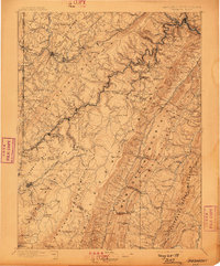
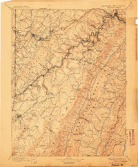
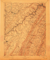
Potomac River industrial centers and the rugged coal and timber lands of the Potomac Highlands are surveyed here during the late nineteenth-century expansion of the rails. The Baltimore and Ohio R.R. and the West Virginia Central and Pittsburgh R.R. snake through deep river valleys, connecting towns like Piedmont and Westernport to high-elevation timber and mining operations. This era is defined by the extraction economy, evidenced by the presence of the Rees Tannery and numerous small settlements such as Elk Garden, Sulphur City, and Gormania that grew around these industries.
Find a feature on this map
141 named features on this map. Tap any name to fly to it.
Don’t see what you’re looking for? This feature index may not catch every label — zoom into the map to look around manually.
Map Details
Editions of this 1895 Piedmont Map
4 editions found
Other maps of this area

1886 · St. George
USGS Topo · 1:125,000

1889 · Beverly
USGS Topo · 1:125,000

1891 · St. George
USGS Topo · 1:125,000

1891 · Romney
USGS Topo · 1:125,000

1892 · Beverly
USGS Topo · 1:125,000

1892 · Franklin
USGS Topo · 1:125,000

1892 · Woodstock
USGS Topo · 1:125,000

1896 · Franklin
USGS Topo · 1:125,000

1898 · Frostburg
USGS Topo · 1:62,500

1899 · Grantsville
USGS Topo · 1:62,500