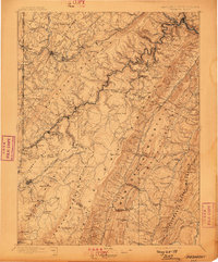
1895 Map of Piedmont
USGS Topo · Published 1898About this map
The North Branch Potomac River carves a winding path through this 1890s survey, serving as the critical industrial and geographic corridor for the West Virginia Central and Pittsburg Railway. The terrain is defined by parallel ridges including Backbone Mountain and the Alleghany Front, which together create a natural barrier between the Maryland and West Virginia highlands. Within this landscape, the historic Fairfax Stone marks the ancient boundary point that once helped define the limits of the Lord Fairfax land grant.
Find a feature on this map
112 named features on this map. Tap any name to fly to it.
Don’t see what you’re looking for? This feature index may not catch every label — zoom into the map to look around manually.
Map Details
Editions of this 1895 Piedmont Map
4 editions found
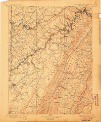
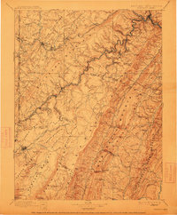
Other maps of this area

1886 · St. George
USGS Topo · 1:125,000

1889 · Beverly
USGS Topo · 1:125,000

1891 · St. George
USGS Topo · 1:125,000

1891 · Romney
USGS Topo · 1:125,000

1892 · Beverly
USGS Topo · 1:125,000

1892 · Franklin
USGS Topo · 1:125,000

1892 · Woodstock
USGS Topo · 1:125,000

1895 · Piedmont
USGS Topo · 1:125,000

1896 · Franklin
USGS Topo · 1:125,000

1898 · Frostburg
USGS Topo · 1:62,500