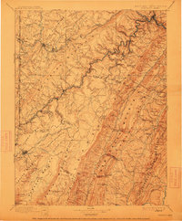
1895 Map of Piedmont
USGS Topo · Published 1912About this map
The North Branch Potomac River serves as the focal point for this survey, defining the state boundary between Maryland and West Virginia as it carves through the central ridges. Industrial and transit hubs such as Piedmont and Westernport anchor the northern reaches, while the Baltimore and Ohio R.R. and the West Virginia Central and Pittsburg R.R. facilitate the region's development. This 1895 era record identifies several resort and mountain communities including Mountain Lake Park and Deer Park, as well as the specialized commercial site of Rees Tannery.
Find a feature on this map
111 named features on this map. Tap any name to fly to it.
Don’t see what you’re looking for? This feature index may not catch every label — zoom into the map to look around manually.
Map Details
Editions of this 1895 Piedmont Map
4 editions found
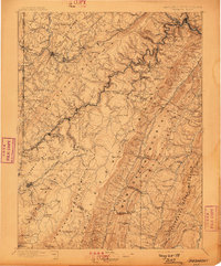
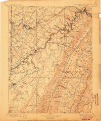
Other maps of this area

1886 · St. George
USGS Topo · 1:125,000

1889 · Beverly
USGS Topo · 1:125,000

1891 · St. George
USGS Topo · 1:125,000

1891 · Romney
USGS Topo · 1:125,000

1892 · Beverly
USGS Topo · 1:125,000

1892 · Franklin
USGS Topo · 1:125,000

1892 · Woodstock
USGS Topo · 1:125,000

1895 · Piedmont
USGS Topo · 1:125,000

1896 · Franklin
USGS Topo · 1:125,000

1898 · Frostburg
USGS Topo · 1:62,500