
1891 Map of Romney
USGS Topo · Published 1897About this map
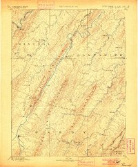
The South Branch Potomac River carves a deep valley through the ridges of Hampshire and Hardy counties, anchoring a network of small agricultural and industrial settlements in the 1880s. Romney serves as a primary hub, while the Baltimore and Ohio Railroad skirts the northern edge of the map through Keyser and Springfield, providing a critical connection to eastern markets. The landscape is defined by massive parallel ridges like Mill Creek Mountain and South Branch Mountain, which dictated the early road and settlement patterns.
Find a feature on this map
67 named features on this map. Tap any name to fly to it.
Don’t see what you’re looking for? This feature index may not catch every label — zoom into the map to look around manually.
Map Details
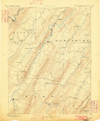
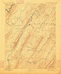
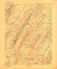
Editions of this 1891 Romney Map
5 editions found
Other maps of this area

1892 · Franklin
USGS Topo · 1:125,000

1892 · Woodstock
USGS Topo · 1:125,000

1893 · Luray
USGS Topo · 1:125,000

1894 · Winchester
USGS Topo · 1:125,000

1895 · Piedmont
USGS Topo · 1:125,000

1896 · Franklin
USGS Topo · 1:125,000

1898 · Frostburg
USGS Topo · 1:62,500

1898 · Paw Paw
USGS Topo · 1:62,500

1899 · Flintstone
USGS Topo · 1:62,500

1899 · Grantsville
USGS Topo · 1:62,500