
1892 Map of Woodstock
USGS Topo · Published 1898About this map
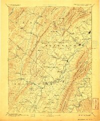
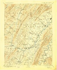
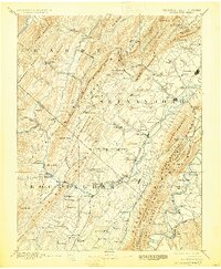
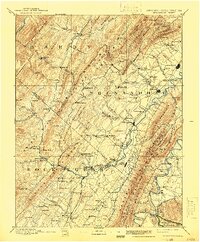
Woodstock serves as the focal point for this late nineteenth-century survey of the Shenandoah Valley, an era when the local economy was defined by the North Fork Shenandoah River and the bustling corridor of the Baltimore and Ohio Railroad. The map reveals a landscape transitioning from its heavy industrial roots, evidenced by several old iron operations including Liberty Furnace, Columbia Furnace, and Van Buren Furnace. These sites are positioned along the foothills of the ridges, where timber and ore were once plentiful.
Find a feature on this map
136 named features on this map. Tap any name to fly to it.
Don’t see what you’re looking for? This feature index may not catch every label — zoom into the map to look around manually.
Map Details
Editions of this 1892 Woodstock Map
5 editions found
Other maps of this area

1891 · Romney
USGS Topo · 1:125,000

1892 · Franklin
USGS Topo · 1:125,000

1892 · Gordonsville
USGS Topo · 1:125,000

1892 · Harrisonburg
USGS Topo · 1:125,000

1893 · Luray
USGS Topo · 1:125,000

1894 · Staunton
USGS Topo · 1:125,000

1894 · Winchester
USGS Topo · 1:125,000

1895 · Piedmont
USGS Topo · 1:125,000

1896 · Franklin
USGS Topo · 1:125,000

1905 · Luray
USGS Topo · 1:125,000