Loading...
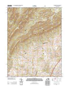
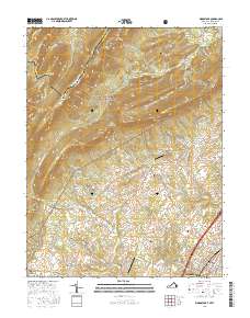
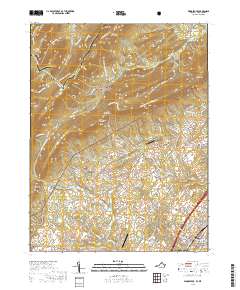
Loading map...1994 Map of Woodstock
USGS Topo · Published 1997About this map
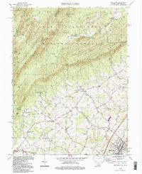
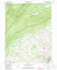
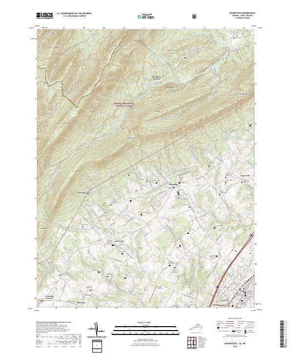
Industrial history meets the Shenandoah Valley floor along the base of Little Mtn and Little North Mountain. The remnants of the region's iron industry are visible at the Van Buren Furnace and the settlement of Columbia Furnace, both situated near the eastern edge of the George Washington National Forest. The map documents a corridor of valley life established along the North Fork of the Shenandoah River, centered on the historic town of Woodstock.
Find a feature on this map
39 named features on this map. Tap any name to fly to it.
Don’t see what you’re looking for? This feature index may not catch every label — zoom into the map to look around manually.
Map Details
Date Portrayed1994
Date Published1997
PublisherU.S. Geological Survey
Map TypeTopographic
Scale1:24,000
Physical Dimensions21.9 x 26.8 inches
Editions of this 1994 Woodstock Map
This is the sole edition of this map. No revisions or reprints were ever made.
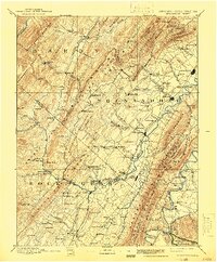
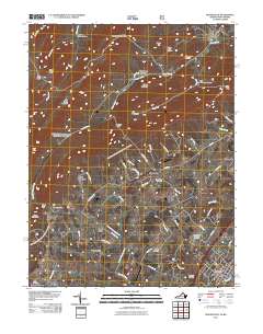
Historical Maps of Woodstock Through Time
8 maps found
Featured Locations
Source Details
SourceU.S. Geological Survey
CopyrightPublic Domain