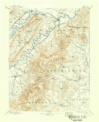
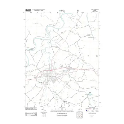
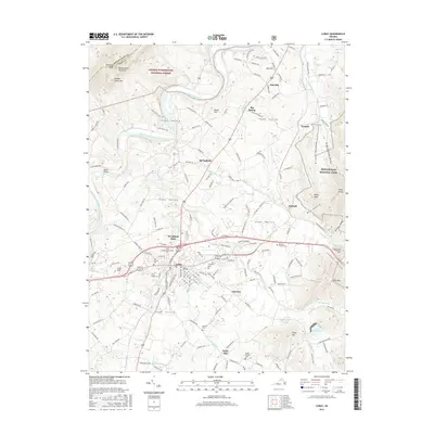
1893 Map of Luray
USGS Topo · Published 1898About this map
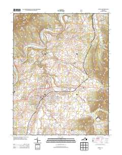
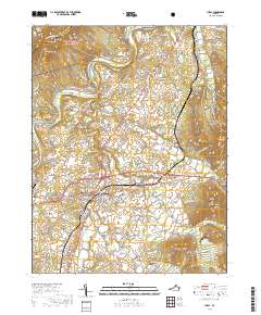
Massanutten Mountain dominates this late-nineteenth-century landscape, a massive ridge system that physically separates the North and South Forks of the Shenandoah River. The map documents a critical rail corridor during the expansion of the Virginia interior, showing the Baltimore and Ohio Railroad Valley Branch and the Shenandoah Valley Railroad tracing the valley floors. Important junctions and river towns like Front Royal, Strasburg, and Luray serve as commercial hubs, while the rugged Blue Ridge to the east is punctuated by named peaks and gaps such as Stony Man, Marys Rock, and Thornton Gap. Small settlements like Seven Fountains and Bentonville are scattered across the lowlands, illustrating a pattern of development dictated by the gaps in the mountains and the winding paths of the South Fork of Shenandoah River.
Find a feature on this map
106 named features on this map. Tap any name to fly to it.
Don’t see what you’re looking for? This feature index may not catch every label — zoom into the map to look around manually.
Map Details
Editions of this 1893 Luray Map
This is the sole edition of this map. No revisions or reprints were ever made.
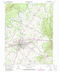
Historical Maps of Front Royal Through Time
10 maps found