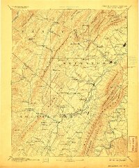
1892 Map of Woodstock
USGS Topo · Published 1906About this map
Woodstock and the central Shenandoah Valley appear here in a transition between their industrial and agricultural foundations during the late nineteenth century. The landscape is defined by the massive spine of North Mountain and the winding Shenandoah River, which fostered a network of iron production and milling. Evidence of the region's early industry is clear at Liberty Furnace, Columbia Furnace, and Van Buren Furnace, while local trade is anchored by Lantz Mill along Stony Creek. Transportation patterns show a reliance on the Baltimore and Ohio Railroad and the Shenandoah Valley Railroad, which connected towns like Edinburg and Mt Jackson to broader markets. The presence of Orkney Springs and Howards Lick Springs highlights the era's mineral spring tourism, nestled within the folds of Massanutten Mountain and the western ridges.
Find a feature on this map
136 named features on this map. Tap any name to fly to it.
Don’t see what you’re looking for? This feature index may not catch every label — zoom into the map to look around manually.
Map Details
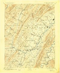
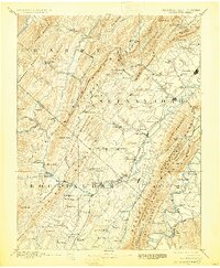
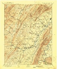
Editions of this 1892 Woodstock Map
5 editions found
Other maps of this area

1891 · Romney
USGS Topo · 1:125,000

1892 · Franklin
USGS Topo · 1:125,000

1892 · Woodstock
USGS Topo · 1:125,000

1892 · Gordonsville
USGS Topo · 1:125,000

1892 · Harrisonburg
USGS Topo · 1:125,000

1893 · Luray
USGS Topo · 1:125,000

1894 · Staunton
USGS Topo · 1:125,000

1894 · Winchester
USGS Topo · 1:125,000

1895 · Piedmont
USGS Topo · 1:125,000

1896 · Franklin
USGS Topo · 1:125,000