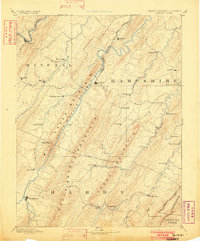
1891 Map of Romney
USGS Topo · Published 1902About this map
Romney and Moorefield serve as the primary hubs in this late 19th-century survey of the Potomac Highlands, where the Baltimore and Ohio Railroad skirts the northern edge through Keyser and Springfield. The landscape is dominated by the parallel ridges of Mill Creek Mountain and South Branch Mountain, which channel the South Branch Potomac River and its numerous tributaries. These watercourses were central to the local economy, supporting sites like Adams Mill and the Capon Iron Works in the southeastern corner.
Find a feature on this map
64 named features on this map. Tap any name to fly to it.
Don’t see what you’re looking for? This feature index may not catch every label — zoom into the map to look around manually.
Map Details
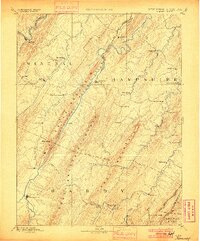
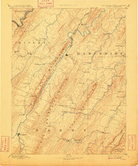
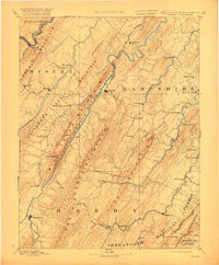
Editions of this 1891 Romney Map
5 editions found
Other maps of this area

1891 · Romney
USGS Topo · 1:125,000

1892 · Franklin
USGS Topo · 1:125,000

1892 · Woodstock
USGS Topo · 1:125,000

1893 · Luray
USGS Topo · 1:125,000

1894 · Winchester
USGS Topo · 1:125,000

1895 · Piedmont
USGS Topo · 1:125,000

1896 · Franklin
USGS Topo · 1:125,000

1898 · Frostburg
USGS Topo · 1:62,500

1898 · Paw Paw
USGS Topo · 1:62,500

1899 · Flintstone
USGS Topo · 1:62,500