Loading...
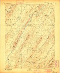
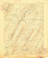
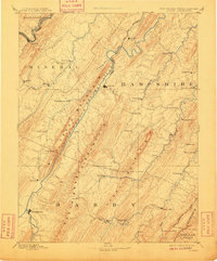
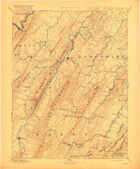
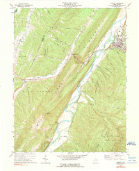
Loading map...1891 Map of Romney
USGS Topo · Published 1900About this map
Romney sits at the heart of this late 19th-century landscape, where the South Branch Potomac River carves a deep valley between Mill Creek Mountain and South Branch Mountain. This reconnaissance survey, conducted in the 1880s, highlights a rural economy driven by water-powered industry and rail transport. Features such as Adams Mill, North River Mills, and Mill Brook illustrate the community's reliance on local waterways like the North River and Patterson Creek.
Find a feature on this map
67 named features on this map. Tap any name to fly to it.
Don’t see what you’re looking for? This feature index may not catch every label — zoom into the map to look around manually.
Map Details
Date Portrayed1891
Date Published1900
PublisherU.S. Geological Survey
Map TypeTopographic
Scale1:125,000
Physical Dimensions16.51 x 19.88 inches
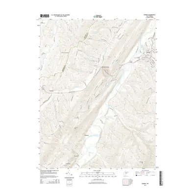
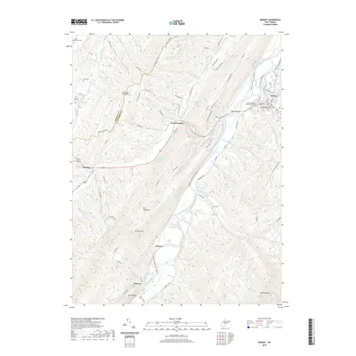
Editions of this 1891 Romney Map
5 editions found

Historical Maps of Keyser Through Time
7 maps found


Featured Locations
Source Details
SourceU.S. Geological Survey
CopyrightPublic Domain