
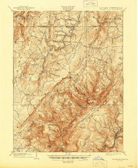
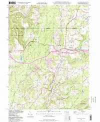
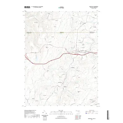
1899 Map of Grantsville
USGS Topo · Published 1899About this map
Negro Mountain and Savage Mountain dominate this late-nineteenth-century survey of the Maryland-Pennsylvania borderlands. This high-altitude landscape is defined by long, parallel ridges and the deep valley of the Savage River, where early Appalachian settlements like New Germany and Grantsville established themselves along the existing road networks. The map captures a moment when the regional economy was transitioning between mountain agriculture and the heavy industry emerging at Moscow Mills and Barton. Genealogical details are abundant, including family-named landmarks such as Ridgley Hill, Warnick Point, and Rhodes Hill, alongside local religious centers like the church at Piney Grove. The intricate drainage patterns of Big Shade Run and Crabtree Run illustrate how the terrain dictated the placement of small communities like Bittinger and Avilton within the narrow corridors of Garrett and Allegany counties.
Find a feature on this map
93 named features on this map. Tap any name to fly to it.
Don’t see what you’re looking for? This feature index may not catch every label — zoom into the map to look around manually.
Map Details
Editions of this 1899 Grantsville Map
This is the sole edition of this map. No revisions or reprints were ever made.
Historical Maps of Grantsville Through Time
11 maps found
1899 Grantsville
Garrett County, MD
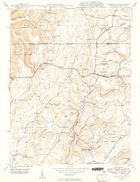
1904 Grantsville
Garrett County, MD
1946 Grantsville
Garrett County, MD
1949 Grantsville
Garrett County, MD
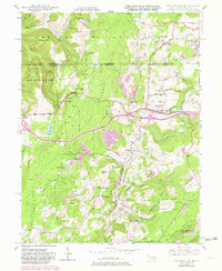
1977 Grantsville
Garrett County, MD
1994 Grantsville
Garrett County, MD
2011 Grantsville
Garrett County, MD
2014 Grantsville
Garrett County, MD
2016 Grantsville
Garrett County, MD
2019 Grantsville
Garrett County, MD
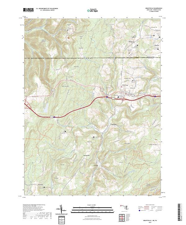
2023 Grantsville
Garrett County, MD