
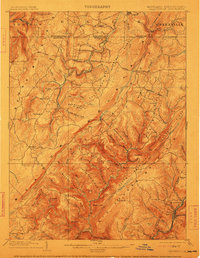
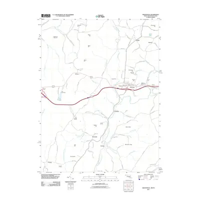
1904 Map of Grantsville
USGS Topo · Published 1904About this map
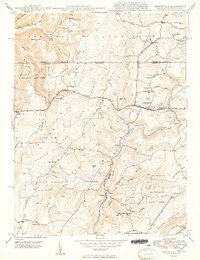
Grantsville serves as a primary hub in the northern reaches of Garrett County, positioned along the historic National Road just south of the Pennsylvania border. This 1898 survey illustrates a landscape defined by industrial and transport infrastructure, where the Jennings Brothers RR winds through the river valleys and the Casselman River cuts between Negro Mountain and Meadow Mountain. To the southeast, the geography transitions into a dense network of mining and railroad towns including Moscow Mills, Barton, and Phoenix, where the B and O RR and C and P RR operate along the steep flanks of Big Savage Mountain. Researchers can trace the early layout of remote settlements like New Germany and Bittinger, alongside family-named landmarks such as Warnick Point and Rhodes Hill that highlight the late nineteenth-century settlement patterns of the Maryland panhandle.
Find a feature on this map
104 named features on this map. Tap any name to fly to it.
Don’t see what you’re looking for? This feature index may not catch every label — zoom into the map to look around manually.
Map Details
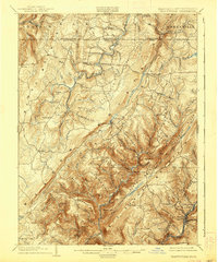
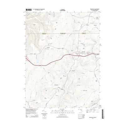
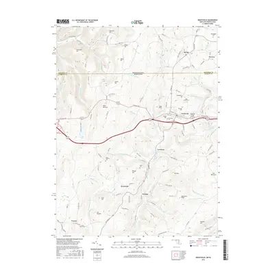
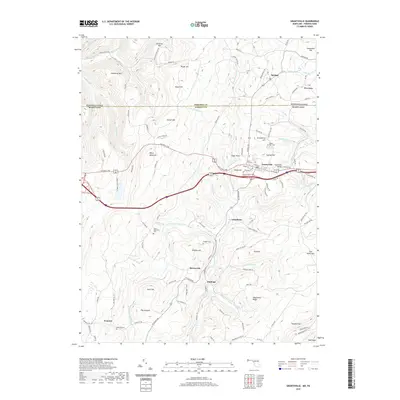
Editions of this 1904 Grantsville Map
5 editions found
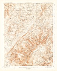
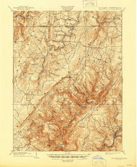
Historical Maps of Grantsville Through Time
11 maps found

1899 Grantsville
Garrett County, MD
1904 Grantsville
Garrett County, MD
1946 Grantsville
Garrett County, MD
1949 Grantsville
Garrett County, MD
1977 Grantsville
Garrett County, MD
1994 Grantsville
Garrett County, MD
2011 Grantsville
Garrett County, MD
2014 Grantsville
Garrett County, MD
2016 Grantsville
Garrett County, MD
2019 Grantsville
Garrett County, MD
2023 Grantsville
Garrett County, MD