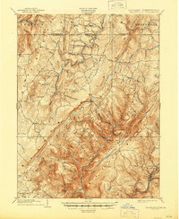
1904 Map of Grantsville
USGS Topo · Published 1945About this map
National Road and the Casselman River anchor this late 19th-century landscape at the border of Maryland and Pennsylvania. The terrain is defined by the massive ridges of Negro Mountain and Big Savage Mountain, where small mountain settlements like New Germany and Bevansville are connected by winding creeks such as Slabaugh Run and Jennings Run. This 1898 survey captures the region just before significant 20th-century modernization, showing a dense network of upland farms and family-named landmarks like Ridgley Hill and The Dunghill.
Find a feature on this map
106 named features on this map. Tap any name to fly to it.
Don’t see what you’re looking for? This feature index may not catch every label — zoom into the map to look around manually.
Map Details
Editions of this 1904 Grantsville Map
5 editions found
Other maps of this area

1891 · Romney
USGS Topo · 1:125,000

1895 · Piedmont
USGS Topo · 1:125,000

1898 · Frostburg
USGS Topo · 1:62,500

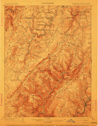
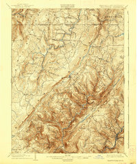
1899 · Grantsville
USGS Topo · 1:62,500

1899 · Oakland
USGS Topo · 1:62,500

1900 · Accident
USGS Topo · 1:62,500

1900 · Oakland
USGS Topo · 1:62,500

1901 · Frostburg
USGS Topo · 1:62,500

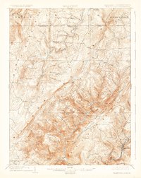
1904 · Grantsville
USGS Topo · 1:62,500

1908 · Frostburg
USGS Topo · 1:62,500