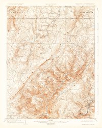
1904 Map of Grantsville
USGS Topo · Published 1927About this map
Grantsville and the high ridges of the Allegheny Mts dominate this early twentieth-century landscape, where the historic National Turnpike cuts across the northern terrain. The Casselman River and its numerous tributaries, such as Schoolhouse Run and Slaubaugh Run, carve deep valleys through the parallel ridges of Meadow Mountain and Negro Mountain. This map illustrates a transition from the agricultural and timbered uplands near Bittinger and New Germany to the industrial activity emerging in the southeast corner.
Find a feature on this map
95 named features on this map. Tap any name to fly to it.
Don’t see what you’re looking for? This feature index may not catch every label — zoom into the map to look around manually.
Map Details
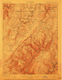
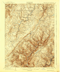
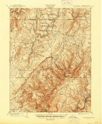
Editions of this 1904 Grantsville Map
5 editions found
Other maps of this area

1891 · Romney
USGS Topo · 1:125,000

1895 · Piedmont
USGS Topo · 1:125,000

1898 · Frostburg
USGS Topo · 1:62,500

1899 · Grantsville
USGS Topo · 1:62,500

1899 · Oakland
USGS Topo · 1:62,500

1900 · Accident
USGS Topo · 1:62,500

1900 · Oakland
USGS Topo · 1:62,500

1901 · Frostburg
USGS Topo · 1:62,500

1904 · Grantsville
USGS Topo · 1:62,500

1908 · Frostburg
USGS Topo · 1:62,500