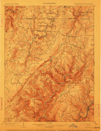
1904 Map of Grantsville
USGS Topo · Published 1912About this map
Castleman River winds through the heart of the Maryland and Pennsylvania borderlands, a region defined by the prominent ridges of Negro Mountain and Savage Mountain. The landscape in the late 19th century was anchored by the National Road, which cuts westward through Grantsville, serving as a primary artery for trade and migration. To the south, the industrial character of the region emerges near the B and O R R corridor, where mining and milling activities supported communities like Moscow Mills, Barton, and Phoenix. The mapping shows a complex network of family-named landmarks and upland settlements such as Bittinger and Avilton, illustrating the dense agricultural and resource-based settlement patterns before modern forest conservation and highway developments altered the rural character of Garrett and Allegany counties.
Find a feature on this map
104 named features on this map. Tap any name to fly to it.
Don’t see what you’re looking for? This feature index may not catch every label — zoom into the map to look around manually.
Map Details
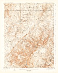
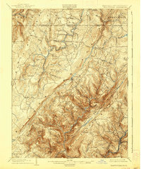
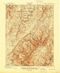
Editions of this 1904 Grantsville Map
5 editions found
Other maps of this area

1891 · Romney
USGS Topo · 1:125,000

1895 · Piedmont
USGS Topo · 1:125,000

1898 · Frostburg
USGS Topo · 1:62,500

1899 · Grantsville
USGS Topo · 1:62,500

1899 · Oakland
USGS Topo · 1:62,500

1900 · Accident
USGS Topo · 1:62,500

1900 · Oakland
USGS Topo · 1:62,500

1901 · Frostburg
USGS Topo · 1:62,500

1904 · Grantsville
USGS Topo · 1:62,500

1908 · Frostburg
USGS Topo · 1:62,500