Old Maps of Piney Point Shores, Saint Mary's County for Academic Research
Study the evolution of Piney Point Shores with 19 high-resolution historic maps. Whether you're teaching, researching, or modeling changes in land use, these maps provide essential visual documentation of urban, environmental, and geographic change.
- Analyze long-term change: Track patterns in development, transportation, and natural features.
- Ideal for environmental or urban studies: Support academic projects with primary historical map data.
- Use in the classroom or lab: Educators and researchers rely on these maps to bring historical context to life.
These maps are a powerful tool for teaching, research, and visualizing how Piney Point Shores has changed over the decades.
Piney Point Shores, Saint Mary's County maps
(19)- 1892 Map of Piney Point
 1892 Piney Point1892 Print · USGSThe Potomac River tidewater is captured in the early 1890s, bridging the maritime communities of Maryland and Virginia. Genealogists can trace family lands near Kinsale, Nomini Grove, and the historic crossing at Mount Holly (Nomini Ferry).
 - 1894 Map of Piney Point
 1894 Piney Point1894 Print · USGSThe Lower Potomac during the late nineteenth century was a world of landings, ferries, and river-dependent villages. Genealogists and historians can trace old homesteads and crossings near Mount Holly (Nomini Ferry), Kinsale, and Valley Lee.
 - 1895 Map of Nomini
 1895 Nomini1895 Print · USGSSouthern Maryland and the Virginia tidewater shores meet along the Potomac in this late nineteenth-century survey. Genealogists can trace family holdings and river landings from Charlotte Hall down to Sotterly and the Nomini Ferry.
 - 1895 Map of Piney Point
 1895 Piney Point1895 Print · USGSThe Potomac River and its intricate Virginia and Maryland shorelines are revealed here in the late nineteenth century. Genealogists can trace family roots through landings and settlements like Kinsale, Hague, and Mount Holly (Nomini Ferry).
 - 1898 Map of Nomini
 1898 Nomini1898 Print · USGSMaryland and Virginia's Tidewater region comes alive in the late nineteenth century as a world of river landings, rail terminals, and rural crossroads. Researchers can trace the maritime economy through Nomini Ferry and Stone Wharf, or locate ancestral homesteads near Charlotte Hall and Potomac Mills.5 unique versions available
 - 1901 Map of Piney Point
 1901 Piney Point1901 Print · USGSThe Potomac River tidewater at the opening of the twentieth century was a landscape of remote landings and river-bound commerce. Researchers can trace historic ferry crossings at Mount Holly, find the L.H. at Piney Point, or locate old mill sites like Clifton Mills.5 unique versions available
 - 1943 Map of Piney Point
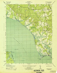 1943 Piney Point1943 Print · USGSCoastal St. Mary's County is captured mid-century as maritime tradition meets wartime expansion along the Potomac River. Researchers can locate family landmarks like Valley Lee, the Piney Point Lighthouse, and the Emergency Landing Field.
 - 1948 Map of Washington
 1948 Washington1948 Print · USGSThe Potomac and Chesapeake regions in the late 1940s reveal a landscape of expanding military reach and deep-rooted Tidewater settlements. Trace old rail corridors like the Richmond Fredericksburg & Potomac RR or locate landmarks like the Wakefield Washington Monument and St. Marys College.2 unique versions available
 - 1953 Map of Piney Point
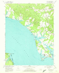
 1953 Piney Point1953 Print · USGSThe Potomac River shoreline comes to life in the early 1950s, showing the maritime heart of St. Mary's County. You can trace the coastal landscape from Piney Point Lighthouse to the post office at Tall Timbers and the historic St Georges Ch.2 unique versions available
 - 1957 Map of Washington, 1966 Print
 1957 Washington1966 Print · USGSThe mid-Atlantic region during the mid-fifties and early sixties reveals a landscape of growing suburbs and vital military outposts. Researchers can trace historic river towns and shorelines from Alexandria to the Hooper Islands and St Clements Island.5 unique versions available
 - 1961 Map of Washington
 1961 Washington1961 Print · USGSThe mid-Atlantic region in the late fifties is presented in remarkable detail, from the Blue Ridge foothills to the Chesapeake Eastern Shore. Researchers can trace historic river landings and military sites like Mount Vernon, Fort Belvoir, and Point Lookout.2 unique versions available
 - 1968 Map of Piney Point, 1972 Print
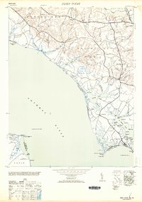
 1968 Piney Point1972 Print · USGSCoastal St. Mary's County comes into sharp focus during the late 1960s as a thriving maritime and residential corridor. Genealogists and local historians can trace the development of Tall Timbers, locate St Georges Ch, and find the historic Lighthouse at Piney Point.4 unique versions available
 - 1983 Map of Leonardtown, 1984 Print
 1983 Leonardtown1984 Print · USGSSouthern Maryland and the Northern Neck of Virginia are shown in the early eighties as a mosaic of historic tidewater settlements and modern installations. Trace family roots and shoreline changes near St Marys City, Leonardtown, and Colonial Beach.2 unique versions available
 - 1989 Map of Washington
 1989 Washington1989 Print · USGSThe Potomac River valley and Chesapeake Bay are shown in comprehensive detail during the late 1980s. Genealogists and historians can trace the transition from urban Alexandria to the rural Northern Neck, locating landmarks like Mount Vernon and Stratford Hall.
 - 2011 Map of Piney Point, 2011 Print
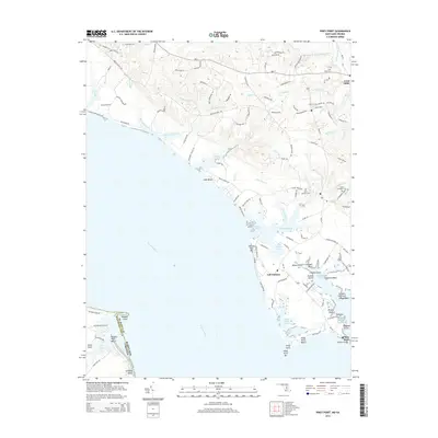
 2011 Piney Point2011 Print · USGSCovers Piney Point Shores, including Lexington Park, Callaway, and other nearby areas
 - 2014 Map of Piney Point, 2014 Print
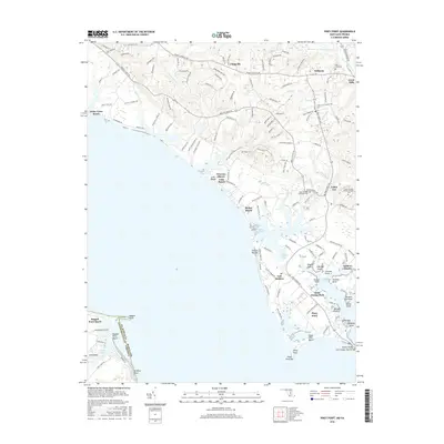
 2014 Piney Point2014 Print · USGSCovers Piney Point Shores, including Lexington Park, Callaway, and other nearby areas
 - 2016 Map of Piney Point, 2016 Print
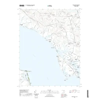
 2016 Piney Point2016 Print · USGSCovers Piney Point Shores, including Lexington Park, Callaway, and other nearby areas
 - 2019 Map of Piney Point, 2019 Print
 2019 Piney Point2019 Print · USGSCovers Piney Point Shores, including Lexington Park, Callaway, and other nearby areas
 - 2023 Map of Piney Point, 2023 Print
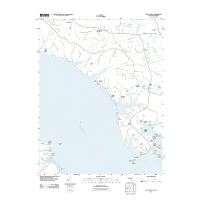
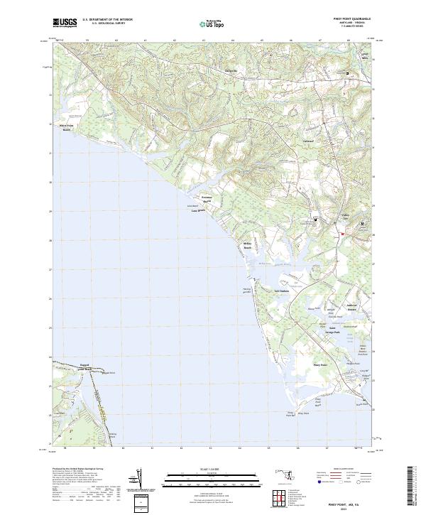 2023 Piney Point2023 Print · USGSCoastal St. Mary's County appears here in the early 21st century, showing the established communities and shoreline of the Potomac. Genealogists and researchers can trace family-named sites like McKay Beach or locate records at the Holy Face Parish Cem and Great Mills.
End of results
Showing maps 1-19 of 19
Frequently asked questions
- What are the different types of historical maps available for Piney Point Shores?
- What is the oldest map of Piney Point Shores?
- Where can I purchase historical maps of Piney Point Shores for my home or office?
- Where can I download high-res historical maps of Piney Point Shores?
- Are there historical topographic maps available for Piney Point Shores?
- Is there historical aerial imagery available for Piney Point Shores?
- Where are historical maps of Piney Point Shores sourced from?