Old Maps of Rush Acres, Maryland for Academic Research
Study the evolution of Rush Acres with 17 high-resolution historic maps. Whether you're teaching, researching, or modeling changes in land use, these maps provide essential visual documentation of urban, environmental, and geographic change.
- Analyze long-term change: Track patterns in development, transportation, and natural features.
- Ideal for environmental or urban studies: Support academic projects with primary historical map data.
- Use in the classroom or lab: Educators and researchers rely on these maps to bring historical context to life.
These maps are a powerful tool for teaching, research, and visualizing how Rush Acres has changed over the decades.
Rush Acres, MD maps
(17)- 1902 Map of Pittsville
 1902 Pittsville1902 Print · USGSEastern Shore life at the turn of the century is centered on the Baltimore Chesapeake and Atlantic rail line and the Pocomoke River. Genealogists can locate family-named sites like Tilghman Pond and Hearns or trace the old rail stop at Ironshire Station.4 unique versions available
 - 1942 Map of Pittsville, 1983 Print
 1942 Pittsville1983 Print · USGSThe Maryland-Delaware borderlands are captured here in the early 1940s, showing a landscape defined by crossroads communities and extensive drainage works. Researchers can trace family-named sites like Glass Hill or locate the community life centered at Line Church and Pittsville.
 - 1946 Map of Pittsville
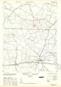
 1946 Pittsville1946 Print · USGSThe Maryland and Delaware state line comes alive in the mid-1940s, showing a landscape of rural crossroads and extensive drainage networks. Genealogists can trace family footprints near Line Church or the settlements of Parsonsburg, Whitesville, and Pepperbox.
 - 1946 Map of Salisbury, 1948 Print
 1946 Salisbury1948 Print · USGSThe Delmarva Peninsula in the late nineteen-forties shows a landscape defined by its deep river arteries and emerging coastal defenses. Genealogists and historians can trace rail-connected towns like Federalsburg or locate maritime landmarks such as the Ocean City Seaplane Base and Fort Miles Military Reservation.4 unique versions available
 - 1947 Map of Salisbury, 1948 Print
 1947 Salisbury1948 Print · USGSThe Delmarva Peninsula in the late forties reveals a coastal landscape of maritime defense and growing seaside towns. Trace the post-war footprint of Salisbury, the strategic Fort Miles Military Reservation, and the Ocean City Seaplane Base.
 - 1948 Map of Salisbury, 1951 Print
 1948 Salisbury1951 Print · USGSThe Delmarva Peninsula in the late 1940s is shown here as a busy network of rail-towns and coastal outposts. Researchers can trace the legacy of the Pennsylvania Railroad through inland hubs like Georgetown or the maritime reaches of Crisfield and Cape May.
 - 1950 Map of Pittsville
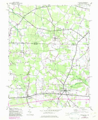
 1950 Pittsville1950 Print · USGSThe Maryland-Delaware borderlands come into focus at the midpoint of the twentieth century. Genealogists can trace family homesteads near Pittsville and Parsonsburg, or locate the historic Line Church Line and Race Bridge.
 - 1957 Map of Salisbury
 1957 Salisbury1957 Print · USGSThe Delmarva Peninsula in the mid-1950s reveals a landscape of coastal defenses and rail-driven commerce. Researchers can trace the Pennsylvania railroad lines or locate historic landmarks like the Fenwick Island Lighthouse and St Martin church.
 - 1961 Map of Salisbury
 1961 Salisbury1961 Print · USGSThe Delmarva Peninsula comes into focus in the early sixties, showing the vital road and rail networks connecting the Chesapeake to the Atlantic. Genealogists and historians can trace family-named landings and coastal landmarks from Crisfield to the Brandywine Shoal Lighthouse.
 - 1965 Map of Salisbury
 1965 Salisbury1965 Print · USGSThe Delmarva Peninsula in the mid-1960s is depicted here as a landscape of coastal defenses and maritime hubs. Genealogists and local historians can trace the foundations of bayside towns like Crisfield and the tactical positioning of the Fort Miles Military Reservation and Cape May Naval Air Station.
 - 1983 Map of Salisbury, 1984 Print
 1983 Salisbury1984 Print · USGSThe Lower Eastern Shore was a landscape of tide and timber in the early eighties, from the bustling streets of Salisbury to the wild coast of Assateague Island. Researchers can trace the rail-and-road network of the Conrail and U S Highway 50 while locating historic centers like Princess Anne and Crisfield.
 - 1992 Map of Pittsville
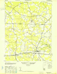
 1992 Pittsville1992 Print · USGSMaryland's borderlands with Delaware come into focus in the early 1990s, centered on the growing rail and road hubs of Wicomico County. Genealogists and historians can trace community roots through rural sites like Melson Ch, Aydelotte, and the remote Race Bridge Cem.
 - 2011 Map of Pittsville, 2011 Print
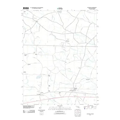 2011 Pittsville2011 Print · USGSCovers Rush Acres, including Pittsville, Pepperbox, and other nearby areas
 - 2014 Map of Pittsville, 2014 Print
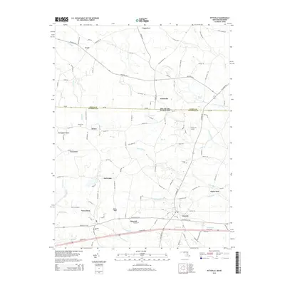 2014 Pittsville2014 Print · USGSCovers Rush Acres, including Pittsville, Pepperbox, and other nearby areas
 - 2016 Map of Pittsville, 2016 Print
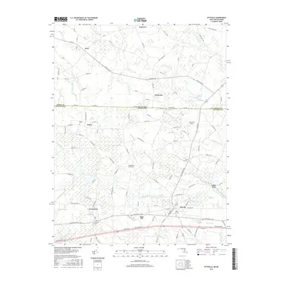 2016 Pittsville2016 Print · USGSCovers Rush Acres, including Pittsville, Pepperbox, and other nearby areas
 - 2019 Map of Pittsville, 2019 Print
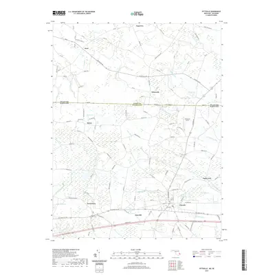 2019 Pittsville2019 Print · USGSCovers Rush Acres, including Pittsville, Pepperbox, and other nearby areas
 - 2023 Map of Pittsville, 2023 Print
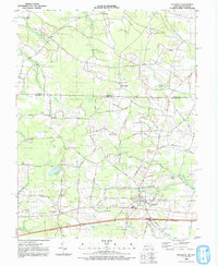
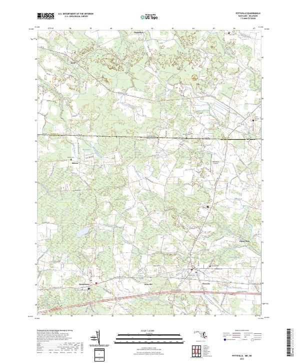 2023 Pittsville2023 Print · USGSCrossing the Maryland-Delaware state line in the early twenty-first century, this survey shows the rural landscape of Wicomico and Sussex counties. Researchers can locate many family burial grounds like Jones Cem and Melson Cem, or trace the winding course of Nassawango Creek.
End of results
Showing maps 1-17 of 17
Top cities near Rush Acres
- Salisbury historical maps
- Fruitland historical maps
- Delmar historical maps
- Laurel historical maps
- Berlin historical maps
- Princess Anne historical maps
See more
Frequently asked questions
- What are the different types of historical maps available for Rush Acres?
- What is the oldest map of Rush Acres?
- Where can I purchase historical maps of Rush Acres for my home or office?
- Where can I download high-res historical maps of Rush Acres?
- Are there historical topographic maps available for Rush Acres?
- Is there historical aerial imagery available for Rush Acres?
- Where are historical maps of Rush Acres sourced from?