2000s (21st Century) Maps of Holyoke, Massachusetts
Explore 20 historic maps of Holyoke from the 2000s (21st Century). These maps offer a rare glimpse into what life looked like during the 2000s — showing old roads, neighborhoods, homes, and landmarks that have changed or disappeared over time.
Whether you're researching your family's past, planning a metal detecting trip, or studying how Holyoke's landscape evolved across the 2000s, these high-resolution maps are a powerful tool for exploring the history of this region.
- Focus on a specific era: All maps on this page are from the 2000s, giving you a focused view of this time period.
- See what’s changed: Compare century-old streets, trails, and buildings to today's modern landscape using overlays and satellite layers.
- Research with precision: Use these maps for genealogy, historical research, land use analysis, or educational projects.
- View, download, or print: Maps are fully viewable online in high resolution, and can be downloaded or printed for your own records.
Start exploring Holyoke's history through authentic maps from the 2000s. This is your window into the past.
Holyoke, MA maps
(20)- 2012 Map of Mount Tom, 2012 Print
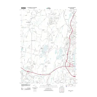 2012 Mount Tom2012 Print · USGSCovers Holyoke, including Chicopee, Westfield, and other nearby areas
 - 2012 Map of Mount Holyoke, 2012 Print
 2012 Mount Holyoke2012 Print · USGSCovers Holyoke, including Amherst, Northampton, and other nearby areas
 - 2012 Map of Easthampton, 2012 Print
 2012 Easthampton2012 Print · USGSCovers Holyoke, including Northampton, Easthampton, and other nearby areas
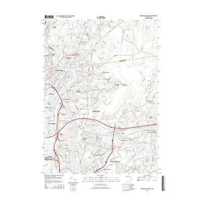
 - 2012 Map of Springfield North, 2012 Print
 2012 Springfield North2012 Print · USGSCovers Holyoke, including Springfield, Chicopee, and other nearby areas
 - 2015 Map of Springfield North, 2015 Print
 2015 Springfield North2015 Print · USGSCovers Holyoke, including Springfield, Chicopee, and other nearby areas
 - 2015 Map of Mount Tom, 2015 Print
 2015 Mount Tom2015 Print · USGSCovers Holyoke, including Chicopee, Westfield, and other nearby areas
 - 2015 Map of Easthampton, 2015 Print
 2015 Easthampton2015 Print · USGSCovers Holyoke, including Northampton, Easthampton, and other nearby areas
 - 2015 Map of Mount Holyoke, 2015 Print
 2015 Mount Holyoke2015 Print · USGSCovers Holyoke, including Amherst, Northampton, and other nearby areas
 - 2018 Map of Mount Tom, 2018 Print
 2018 Mount Tom2018 Print · USGSCovers Holyoke, including Chicopee, Westfield, and other nearby areas
 - 2018 Map of Mount Holyoke, 2018 Print
 2018 Mount Holyoke2018 Print · USGSCovers Holyoke, including Amherst, Northampton, and other nearby areas
 - 2018 Map of Easthampton, 2018 Print
 2018 Easthampton2018 Print · USGSCovers Holyoke, including Northampton, Easthampton, and other nearby areas
 - 2018 Map of Springfield North, 2018 Print
 2018 Springfield North2018 Print · USGSCovers Holyoke, including Springfield, Chicopee, and other nearby areas
 - 2021 Map of Easthampton, 2021 Print
 2021 Easthampton2021 Print · USGSCovers Holyoke, including Northampton, Easthampton, and other nearby areas
 - 2021 Map of Mount Tom, 2021 Print
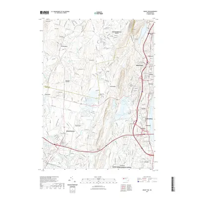 2021 Mount Tom2021 Print · USGSCovers Holyoke, including Chicopee, Westfield, and other nearby areas
 - 2021 Map of Mount Holyoke, 2021 Print
 2021 Mount Holyoke2021 Print · USGSCovers Holyoke, including Amherst, Northampton, and other nearby areas
 - 2021 Map of Springfield North, 2021 Print
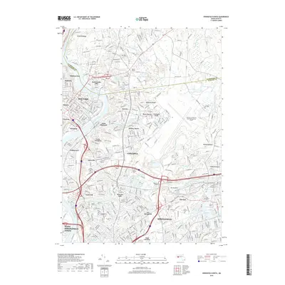
 2021 Springfield North2021 Print · USGSCovers Holyoke, including Springfield, Chicopee, and other nearby areas
 - 2024 Map of Mount Holyoke, 2024 Print
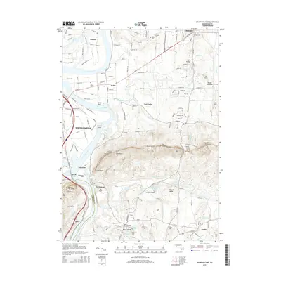
 2024 Mount Holyoke2024 Print · USGSThe Pioneer Valley remains a blend of esteemed collegiate campuses and protected wildlife corridors in this current-century survey. Genealogists can locate family sites at the Old Hadley Cem and South Amherst Cem, while hikers can trace the Metacomet-Monadnock Trl across the peaks.
 - 2024 Map of Springfield North, 2024 Print
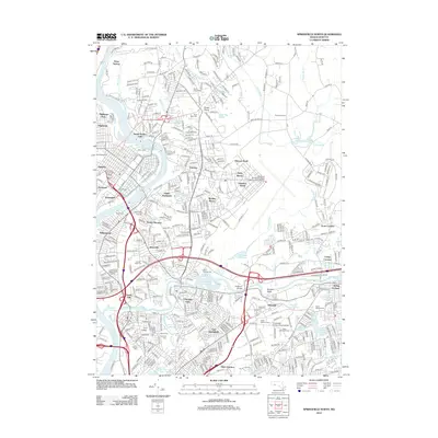
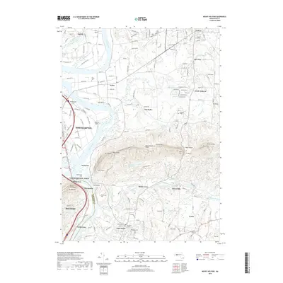
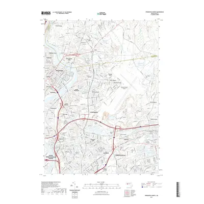
 2024 Springfield North2024 Print · USGSGreater Springfield and the industrial riverfronts are shown in high detail at a time of continued urban density and military presence. Genealogists can trace family plots across Saint Patrick's Cem and Fairview Cem while historians study the B & M RR rail lines.
 - 2024 Map of Easthampton, 2024 Print
 2024 Easthampton2024 Print · USGSNorthampton and Easthampton are showcased in this modern era, where the industrial past of the Pioneer Valley meets its contemporary focus on education and recreation. Genealogists can trace family names through sites like Saint Brigids Cem and Hebrew Cem while following the Manhan Rail Trl.
 - 2024 Map of Mount Tom, 2024 Print
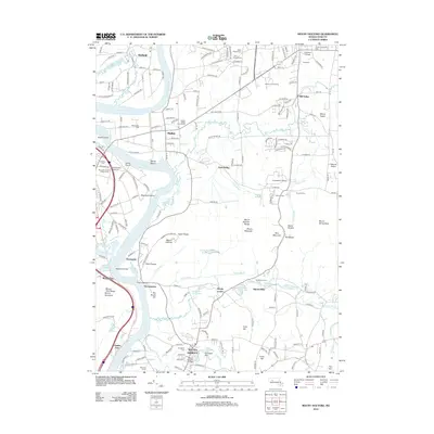
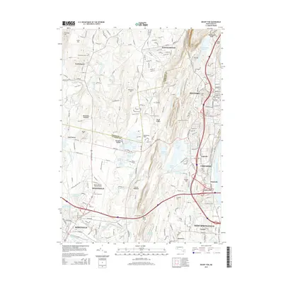
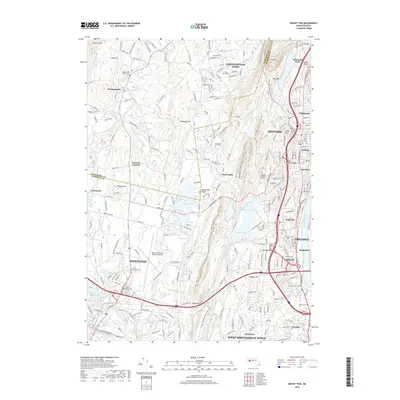
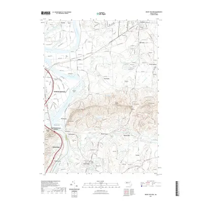
 2024 Mount Tom2024 Print · USGSThe Pioneer Valley settlements and the massive Mount Tom Range appear in detailed modern relief. Trace local heritage through historic sites like Southampton Center Cem or the industrial and aviation hubs around Barnes Map (ANG).
End of results
Showing maps 1-20 of 20
Top cities near Holyoke
- Springfield historical maps
- Chicopee historical maps
- Enfield historical maps
- Westfield historical maps
- Amherst historical maps
- Northampton historical maps
See more
Top neighborhoods of Holyoke
- Rock Valley historical maps
- Springdale historical maps
- Highlands historical maps
- Brightside historical maps
- Highland Park historical maps
- Mountain Park historical maps
See more
Frequently asked questions
- What are the different types of historical maps available for Holyoke?
- What is the oldest map of Holyoke?
- Where can I purchase historical maps of Holyoke for my home or office?
- Where can I download high-res historical maps of Holyoke?
- Are there historical topographic maps available for Holyoke?
- Is there historical aerial imagery available for Holyoke?
- Where are historical maps of Holyoke sourced from?