2000s (21st Century) Maps of Cambridge, Massachusetts
Explore 21 historic maps of Cambridge from the 2000s (21st Century). These maps offer a rare glimpse into what life looked like during the 2000s — showing old roads, neighborhoods, homes, and landmarks that have changed or disappeared over time.
Whether you're researching your family's past, planning a metal detecting trip, or studying how Cambridge's landscape evolved across the 2000s, these high-resolution maps are a powerful tool for exploring the history of this region.
- Focus on a specific era: All maps on this page are from the 2000s, giving you a focused view of this time period.
- See what’s changed: Compare century-old streets, trails, and buildings to today's modern landscape using overlays and satellite layers.
- Research with precision: Use these maps for genealogy, historical research, land use analysis, or educational projects.
- View, download, or print: Maps are fully viewable online in high resolution, and can be downloaded or printed for your own records.
Start exploring Cambridge's history through authentic maps from the 2000s. This is your window into the past.
Cambridge, MA maps
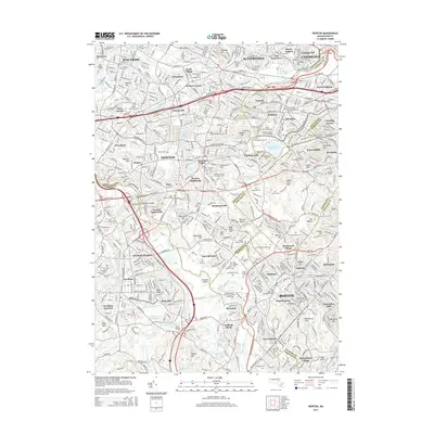
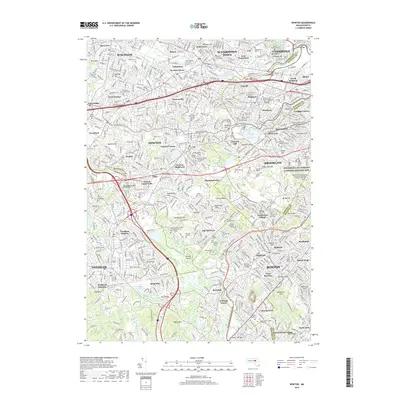
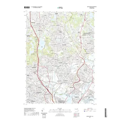
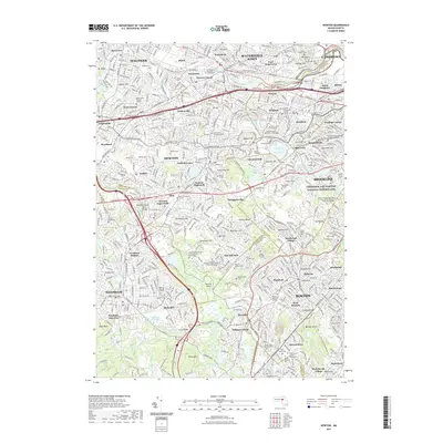
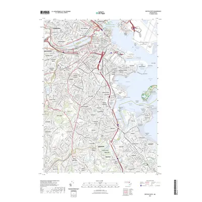
(21)- 2012 Map of Newton, 2012 Print
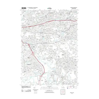 2012 Newton2012 Print · USGSCovers Cambridge, including Boston, Newton, and other nearby areas
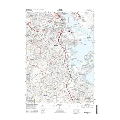
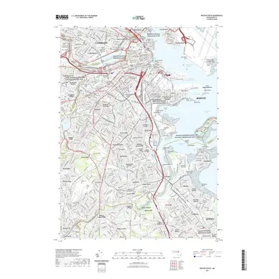
 - 2012 Map of Boston South, 2012 Print
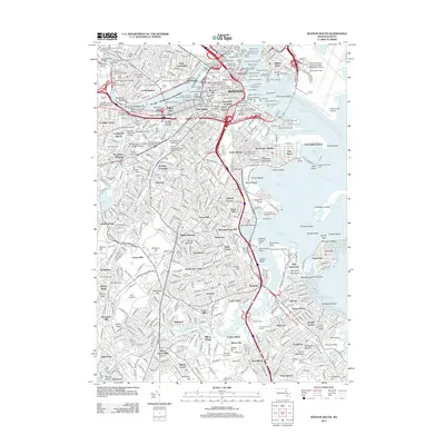 2012 Boston South2012 Print · USGSCovers Cambridge, including Boston, Quincy, and other nearby areas
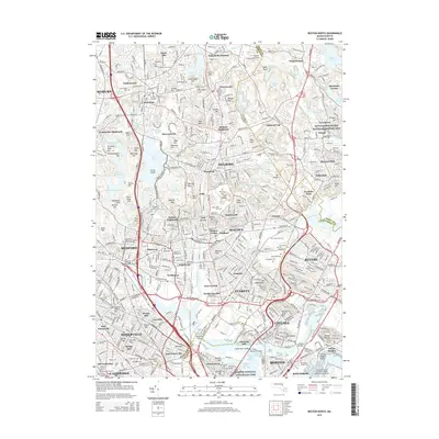
 - 2012 Map of Boston North, 2012 Print
 2012 Boston North2012 Print · USGSCovers Cambridge, including Boston, Lynn, and other nearby areas
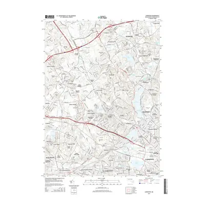
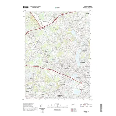
 - 2012 Map of Lexington, 2012 Print
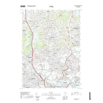
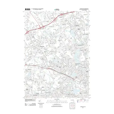 2012 Lexington2012 Print · USGSCovers Cambridge, including Somerville, Waltham, and other nearby areas
 - 2015 Map of Newton, 2015 Print
 2015 Newton2015 Print · USGSCovers Cambridge, including Boston, Newton, and other nearby areas
 - 2015 Map of Lexington, 2015 Print
 2015 Lexington2015 Print · USGSCovers Cambridge, including Somerville, Waltham, and other nearby areas
 - 2015 Map of Boston North, 2015 Print
 2015 Boston North2015 Print · USGSCovers Cambridge, including Boston, Lynn, and other nearby areas
 - 2015 Map of Boston South, 2015 Print
 2015 Boston South2015 Print · USGSCovers Cambridge, including Boston, Quincy, and other nearby areas
 - 2018 Map of Newton, 2018 Print
 2018 Newton2018 Print · USGSCovers Cambridge, including Boston, Newton, and other nearby areas
 - 2018 Map of Boston North, 2018 Print
 2018 Boston North2018 Print · USGSCovers Cambridge, including Boston, Lynn, and other nearby areas
 - 2018 Map of Lexington, 2018 Print
 2018 Lexington2018 Print · USGSCovers Cambridge, including Somerville, Waltham, and other nearby areas
 - 2018 Map of Boston South, 2018 Print
 2018 Boston South2018 Print · USGSCovers Cambridge, including Boston, Quincy, and other nearby areas
 - 2021 Map of Boston North, 2021 Print
 2021 Boston North2021 Print · USGSCovers Cambridge, including Boston, Lynn, and other nearby areas
 - 2021 Map of Boston South, 2021 Print
 2021 Boston South2021 Print · USGSCovers Cambridge, including Boston, Quincy, and other nearby areas
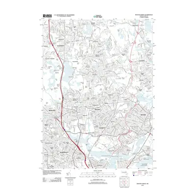
 - 2021 Map of Newton, 2021 Print
 2021 Newton2021 Print · USGSCovers Cambridge, including Boston, Newton, and other nearby areas
 - 2021 Map of Lexington, 2021 Print
 2021 Lexington2021 Print · USGSCovers Cambridge, including Somerville, Waltham, and other nearby areas
 - 2023 Map of Boston South, 2023 Print
 2023 Boston South2023 Print · USGSCovers Cambridge, including Boston, Quincy, and other nearby areas
 - 2024 Map of Boston North, 2024 Print
 2024 Boston North2024 Print · USGSThe northern suburbs of Boston are shown in great detail during the early 2020s, from the industrial heritage of the Saugus River to the wooded reaches of Middlesex Fells. Genealogists can locate dozens of historic sites like St Patricks Cem and the Bunker Hill Burying Ground.
 - 2024 Map of Newton, 2024 Print
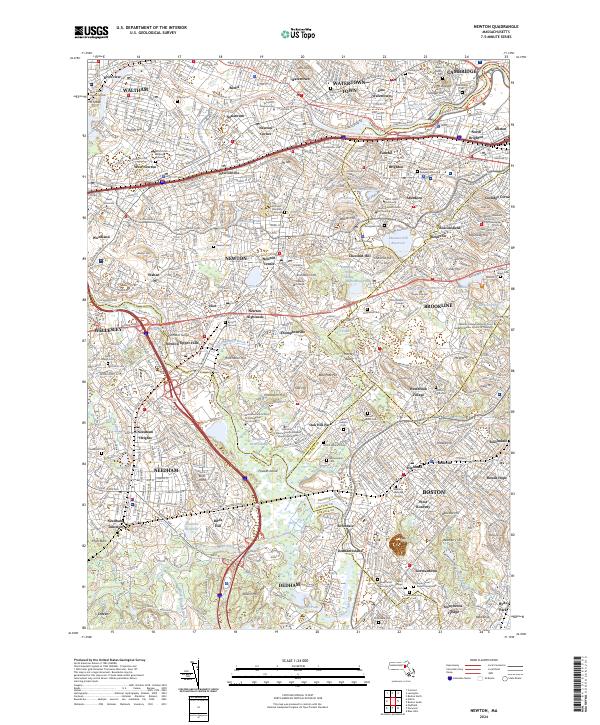 2024 Newton2024 Print · USGSThe Charles River corridor in the 2020s shows a landscape of historic suburban villages and prestigious colleges. Trace family roots and local history at the Newton Cem, Hemlock Gorge, or the Frederick Law Olmsted National Historic Site.
 - 2024 Map of Boston South, 2024 Print
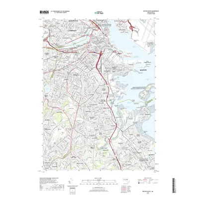
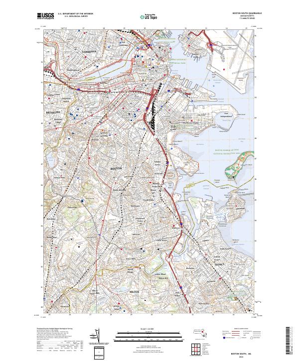 2024 Boston South2024 Print · USGSGreater Boston's urban landscape is revealed in this modern survey, from the historic cemeteries of Beacon Hill to the busy waterfronts of Dorchester Bay. Genealogists can locate family plots in Copps Hill Burial Ground or trace neighborhoods like Ashmont, Jamaica Plain, and Lower Mills.
 - 2024 Map of Lexington, 2024 Print
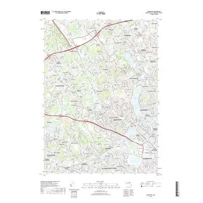
 2024 Lexington2024 Print · USGSLexington and the surrounding Middlesex County suburbs are shown in a modern era of dense settlement and historic preservation. Genealogists and historians can trace local heritage through the Old Burying Ground, Munroe Cem, and the Prince Hall Mystic Cem.
End of results
Showing maps 1-21 of 21
Top cities near Cambridge
- Boston historical maps
- Quincy historical maps
- Lynn historical maps
- Newton historical maps
- Somerville historical maps
- Brookline historical maps
See more
Top neighborhoods of Cambridge
- Andover Lawn historical maps
- Arsenal Square historical maps
- Law School Yard historical maps
- Old Yard historical maps
- Porter Square historical maps
- Du Pont Court historical maps
See more
Frequently asked questions
- What are the different types of historical maps available for Cambridge?
- What is the oldest map of Cambridge?
- Where can I purchase historical maps of Cambridge for my home or office?
- Where can I download high-res historical maps of Cambridge?
- Are there historical topographic maps available for Cambridge?
- Is there historical aerial imagery available for Cambridge?
- Where are historical maps of Cambridge sourced from?