2020s Maps of Lexington, Massachusetts
Explore 5 historic maps of Lexington from the 2020s. These maps offer a rare glimpse into what life looked like during the 2020s — showing old roads, neighborhoods, homes, and landmarks that have changed or disappeared over time.
Whether you're researching your family's past, planning a metal detecting trip, or studying how Lexington's landscape evolved across the 2020s, these high-resolution maps are a powerful tool for exploring the history of this region.
- Focus on a specific era: All maps on this page are from the 2020s, giving you a focused view of this time period.
- See what’s changed: Compare century-old streets, trails, and buildings to today's modern landscape using overlays and satellite layers.
- Research with precision: Use these maps for genealogy, historical research, land use analysis, or educational projects.
- View, download, or print: Maps are fully viewable online in high resolution, and can be downloaded or printed for your own records.
Start exploring Lexington's history through authentic maps from the 2020s. This is your window into the past.
Lexington, MA maps
(5)- 2021 Map of Concord, 2021 Print
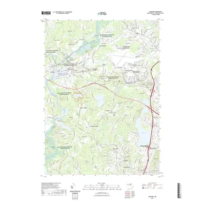 2021 Concord2021 Print · USGSCovers Lexington, including Waltham, Concord, and other nearby areas
 - 2021 Map of Lexington, 2021 Print
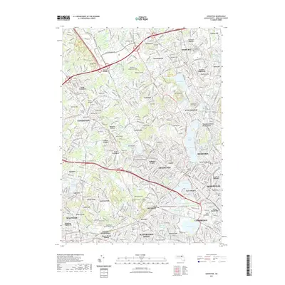 2021 Lexington2021 Print · USGSCovers Lexington, including Cambridge, Somerville, and other nearby areas
 - 2023 Map of Concord, 2023 Print
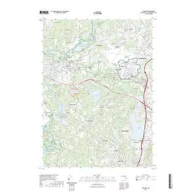 2023 Concord2023 Print · USGSCovers Lexington, including Waltham, Concord, and other nearby areas
 - 2024 Map of Concord, 2024 Print
 2024 Concord2024 Print · USGSConcord and Lexington remain central to the American story, as this modern survey documents the revolutionary sites and literary landmarks of Middlesex County. Genealogists can trace family names at Sleepy Hollow Cem or locate the Old Burying Ground Cem in Bedford.
 - 2024 Map of Lexington, 2024 Print
 2024 Lexington2024 Print · USGSLexington and the surrounding Middlesex County suburbs are shown in a modern era of dense settlement and historic preservation. Genealogists and historians can trace local heritage through the Old Burying Ground, Munroe Cem, and the Prince Hall Mystic Cem.
End of results
Showing maps 1-5 of 5
Top cities near Lexington
- Boston historical maps
- Lowell historical maps
- Cambridge historical maps
- Quincy historical maps
- Lynn historical maps
- Newton historical maps
See more
Top neighborhoods of Lexington
- Liberty Heights historical maps
- Fuller Heights historical maps
- Munroe Station historical maps
- Idylwilde historical maps
- Follen Heights historical maps
- North Lexington historical maps
See more
Frequently asked questions
- What are the different types of historical maps available for Lexington?
- What is the oldest map of Lexington?
- Where can I purchase historical maps of Lexington for my home or office?
- Where can I download high-res historical maps of Lexington?
- Are there historical topographic maps available for Lexington?
- Is there historical aerial imagery available for Lexington?
- Where are historical maps of Lexington sourced from?