Old Maps of Wilson Township, Michigan
Explore 32 old maps of Wilson Township, spanning from 1954 to today. These high-resolution historic maps reveal how streets, neighborhoods, landmarks, and natural features evolved over time — perfect for genealogy, metal detecting, research, and local history exploration.
What you can do with these maps:
- See how Wilson Township changed over time: Compare historical maps to modern-day views to trace roads, homesites, rail lines & more.
- View detailed metadata: Each map includes creators, publishers, year, scale, and archive source.
- Overlay maps with satellite & LiDAR: Visualize the past alongside modern tools to explore terrain & human change.
- Trusted historical sources: Maps sourced from the USGS, Library of Congress, and other archives.
- Access maps your way: View online, download high-res files, or order prints for personal or research use.
Start exploring old maps of Wilson Township to uncover forgotten places, hidden landmarks, and the deep history beneath your feet.
Wilson Township, MI maps
(32)- 1954 Map of Tawas City, 1968 Print
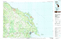
 1954 Tawas City1968 Print · USGSCoastal life along Lake Huron was defined by a mix of military aviation and hydroelectric power in the mid-fifties. Researchers can trace the river dams like Cooke Dam, the layout of Wurtsmith AFB, and the coastal mining operations at Alabaster.4 unique versions available
 - 1954 Map of Alpena, 1978 Print
 1954 Alpena1978 Print · USGSThe northern waters of Lake Huron meet the Ontario islands during the mid-1950s, a time of active coastal shipping and timber management. Genealogists and historians can trace the Detroit and Mackinac rail line through Alpena or locate rural landmarks like St. Catharine Ch and Forty Mile Point.2 unique versions available
 - 1957 Map of Alpena
 1957 Alpena1957 Print · USGSNortheast Michigan and the islands of the North Channel are captured in the mid-1950s, showing the vital maritime and rail connections of the region. Researchers can trace the path of the Detroit and Mackinac RR or locate small settlements like Meldrum Bay and Lachine.
 - 1958 Map of Alpena
 1958 Alpena1958 Print · USGSThe northern reaches of Lake Huron and the Ontario islands are mapped here in the late fifties. You can trace the Detroit and Mackinac RR through Rogers City or locate remote outposts like Meldrum Bay and St. Vital church.
 - 1958 Map of Tawas City
 1958 Tawas City1958 Print · USGSThe Lake Huron shoreline and northern Michigan timberlands come into focus in the late fifties, during the expansion of the Cold War. Genealogists and historians can trace rail lines like the Detroit and Mackinac, find regional landmarks like the Lumbermans Memorial Monument, and locate coastal facilities including Wurtsmith AFB.2 unique versions available
 - 1969 Map of Alpena
 1969 Alpena1969 Print · USGSThe Lake Huron coastline and the Manitoulin islands come alive in this mid-century survey of the Michigan-Ontario border. Genealogists and historians can trace the Detroit and Mackinac rail line through settlements like Lachine and Cathro, or locate the numerous island reservations including Obigewong Indian Reservation No 21.
 - 1971 Map of Lake Winyah, 1974 Print
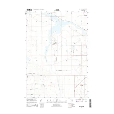
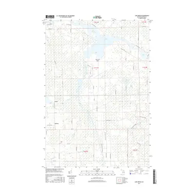
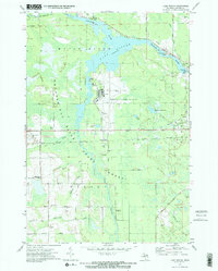 1971 Lake Winyah1974 Print · USGSAlpena County and the Thunder Bay River valley are shown in the early seventies during a period of steady industrial and aviation growth. Researchers can trace the Detroit and Mackinac Railroad through Paxton or locate family sites near Wilson Cem and Kerston Station.2 unique versions available
 - 1971 Map of Lachine, 1974 Print
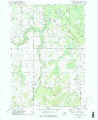
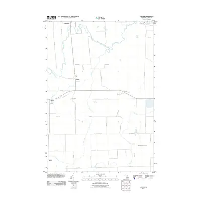
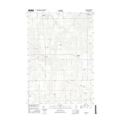
 1971 Lachine1974 Print · USGSAlpena County at the start of the seventies shows a rural landscape shaped by the Thunder Bay River and early rail corridors. Researchers can locate the Green Sch, trace the Old Railroad Grade, and find small hubs like Lachine and Spratt.
 - 1972 Map of Big Ravine Creek, 1975 Print
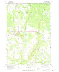
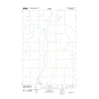
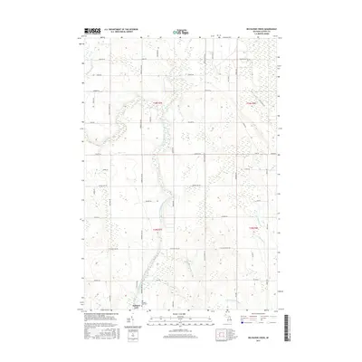
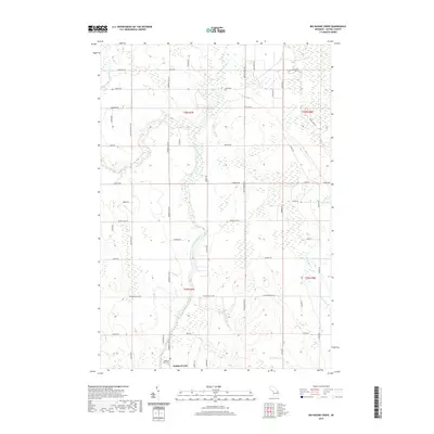
 1972 Big Ravine Creek1975 Print · USGSAlpena County's forested river valleys and the northern shores of Hubbard Lake are captured here in the early seventies. Local historians can trace the foundations of the community through rural landmarks like the Township Sch, Community Ch, and the high ground of Nicholson Hill.2 unique versions available
 - 1972 Map of Evans Creek, 1975 Print
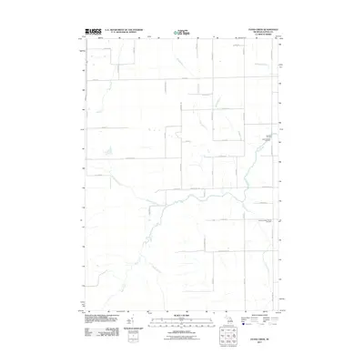
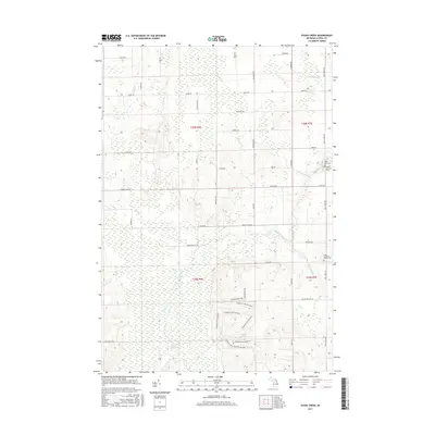
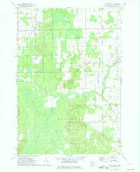 1972 Evans Creek1975 Print · USGSAlpena County was a landscape of dense state forest and quiet township life in the early seventies. Genealogists and local historians can locate early civic centers and family burial sites like Townhall, St Matthew Cem, and Salem Ch.
 - 1983 Map of Hubbard Lake, 1984 Print
 1983 Hubbard Lake1984 Print · USGSThe shorelines of Alcona and Alpena Counties come to life in this early 1980s overview of the Lake Huron coast and its deep timberlands. Researchers can trace historic rail routes like the Detroit and Mackinac or locate quiet inland hubs such as Barton City and Killmaster.
 - 1984 Map of Alpena
 1984 Alpena1984 Print · USGSThe Lake Huron shoreline in the 1980s reveals a region defined by maritime industry, timberlands, and vast inland waters. Genealogists and historians can trace the Detroit and Mackinac Railroad past old settlements like Posen, Hagensville, and the harbor at Rockport.
 - 2011 Map of Evans Creek, 2011 Print
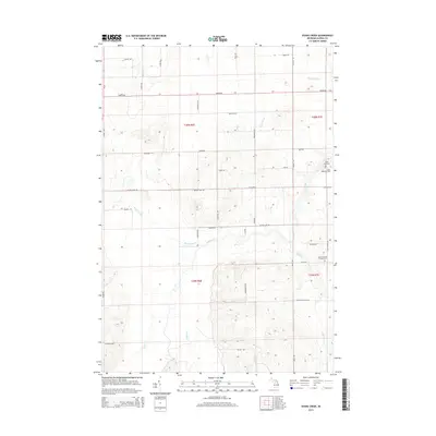
 2011 Evans Creek2011 Print · USGSCovers Wilson Township, including Ossineke Township, Green Township, and other nearby areas
 - 2011 Map of Big Ravine Creek, 2011 Print
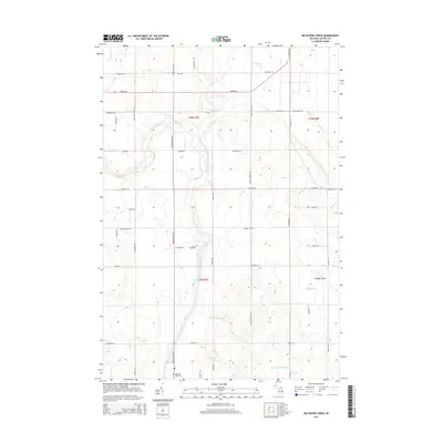
 2011 Big Ravine Creek2011 Print · USGSCovers Wilson Township, including Ossineke Township, Alpena Township, and other nearby areas
 - 2011 Map of Lachine, 2011 Print
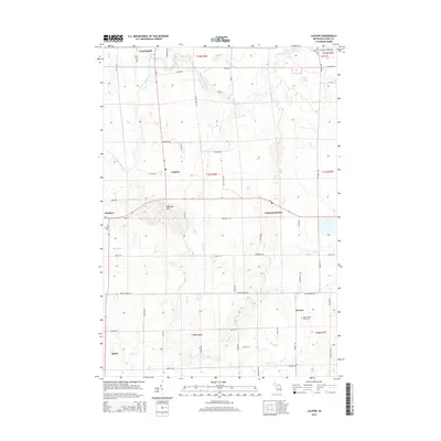
 2011 Lachine2011 Print · USGSCovers Wilson Township, including Long Rapids Township, Green Township, and other nearby areas
 - 2011 Map of Lake Winyah, 2011 Print
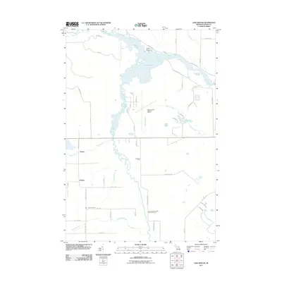 2011 Lake Winyah2011 Print · USGSCovers Wilson Township, including McHarg, Paxton, and other nearby areas
 - 2014 Map of Lachine, 2014 Print
 2014 Lachine2014 Print · USGSCovers Wilson Township, including Long Rapids Township, Green Township, and other nearby areas
 - 2014 Map of Big Ravine Creek, 2014 Print
 2014 Big Ravine Creek2014 Print · USGSCovers Wilson Township, including Ossineke Township, Alpena Township, and other nearby areas
 - 2014 Map of Evans Creek, 2014 Print
 2014 Evans Creek2014 Print · USGSCovers Wilson Township, including Ossineke Township, Green Township, and other nearby areas
 - 2014 Map of Lake Winyah, 2014 Print
 2014 Lake Winyah2014 Print · USGSCovers Wilson Township, including McHarg, Paxton, and other nearby areas
 - 2017 Map of Evans Creek, 2017 Print
 2017 Evans Creek2017 Print · USGSCovers Wilson Township, including Ossineke Township, Green Township, and other nearby areas
 - 2017 Map of Big Ravine Creek, 2017 Print
 2017 Big Ravine Creek2017 Print · USGSCovers Wilson Township, including Ossineke Township, Alpena Township, and other nearby areas
 - 2017 Map of Lachine, 2017 Print
 2017 Lachine2017 Print · USGSCovers Wilson Township, including Long Rapids Township, Green Township, and other nearby areas
 - 2017 Map of Lake Winyah, 2017 Print
 2017 Lake Winyah2017 Print · USGSCovers Wilson Township, including McHarg, Paxton, and other nearby areas
 - 2019 Map of Big Ravine Creek, 2019 Print
 2019 Big Ravine Creek2019 Print · USGSCovers Wilson Township, including Ossineke Township, Alpena Township, and other nearby areas
Showing maps 1-25 of 32
Top cities near Wilson Township
Top neighborhoods of Wilson Township
Frequently asked questions
- What are the different types of historical maps available for Wilson Township?
- What is the oldest map of Wilson Township?
- Where can I purchase historical maps of Wilson Township for my home or office?
- Where can I download high-res historical maps of Wilson Township?
- Are there historical topographic maps available for Wilson Township?
- Is there historical aerial imagery available for Wilson Township?
- Where are historical maps of Wilson Township sourced from?