Old Maps of Custer Township, Michigan
Explore 31 old maps of Custer Township, spanning from 1954 to today. These high-resolution historic maps reveal how streets, neighborhoods, landmarks, and natural features evolved over time — perfect for genealogy, metal detecting, research, and local history exploration.
What you can do with these maps:
- See how Custer Township changed over time: Compare historical maps to modern-day views to trace roads, homesites, rail lines & more.
- View detailed metadata: Each map includes creators, publishers, year, scale, and archive source.
- Overlay maps with satellite & LiDAR: Visualize the past alongside modern tools to explore terrain & human change.
- Trusted historical sources: Maps sourced from the USGS, Library of Congress, and other archives.
- Access maps your way: View online, download high-res files, or order prints for personal or research use.
Start exploring old maps of Custer Township to uncover forgotten places, hidden landmarks, and the deep history beneath your feet.
Custer Township, MI maps
(31)- 1954 Map of Traverse City, 1965 Print
 1954 Traverse City1965 Print · USGSNorthern Michigan’s vast lakeshores and timberlands are captured here in the mid-fifties, showing the region before the modern interstate era. Genealogists and researchers can trace rail connections like the Detroit and Mackinac RR or find old communities such as Suttons Bay, Elk Rapids, and Prudenville.4 unique versions available
 - 1956 Map of Mancelona, 1957 Print
 1956 Mancelona1957 Print · USGSAntrim and Kalkaska Counties come into focus during the mid-fifties, showing the intersection of the Pennsylvania railroad and the Pigeon River State Forest. Genealogists can trace family roots through several rural burial grounds and schools, including Maple Grove Cem and the Hardy Sch.4 unique versions available
 - 1958 Map of Traverse City
 1958 Traverse City1958 Print · USGSNorthern Lower Michigan was a landscape of vast state forests and burgeoning lakeside retreats in the late fifties. Genealogists and historians can trace the rail corridors of the Ann Arbor RR and find established settlements from Elk Rapids to Houghton Lake.2 unique versions available
 - 1975 Map of Mancelona NE, 1976 Print
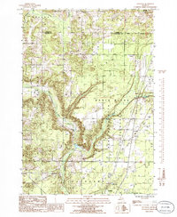
 1975 Mancelona NE1976 Print · USGSNorthern Michigan’s agricultural and woodland patterns are captured in striking detail during the mid-seventies. Trace property boundaries and early building footprints across Mancelona and the nearby settlement of Antrim.
 - 1975 Map of Mancelona NW, 1976 Print
 1975 Mancelona NW1976 Print · USGSAntrim County in the mid-seventies is captured in this detailed aerial perspective of the northern Chain o' Lakes region. Genealogists and local historians can trace the street layout of Bellaire and the developing shorelines of Lake Bellaire.
 - 1983 Map of Traverse City, 1984 Print
 1983 Traverse City1984 Print · USGSTraverse City and the surrounding bay country are captured in the early eighties as the region balanced its timber heritage with growing conservation. Genealogists and local historians can trace the rail lines of the Ann Arbor RR through settlements like Kingsley and Fife Lake.2 unique versions available
 - 1985 Map of Leetsville, 1986 Print
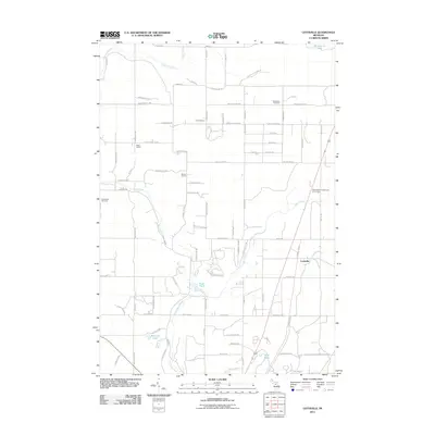
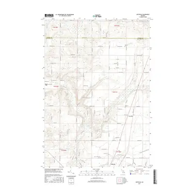
 1985 Leetsville1986 Print · USGSKalkaska County at the mid-eighties peak of its resource economy shows a landscape of timber and energy. Trace local genealogies and industrial sites near Leetsville, Rugg Pond, and the scattered Oil Tanks of the Pere Marquette State Forest.
 - 1985 Map of Bellaire, 1986 Print
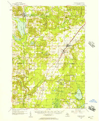
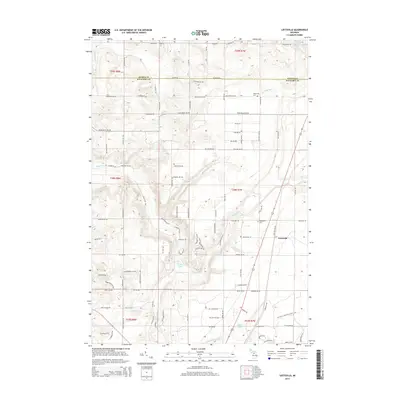
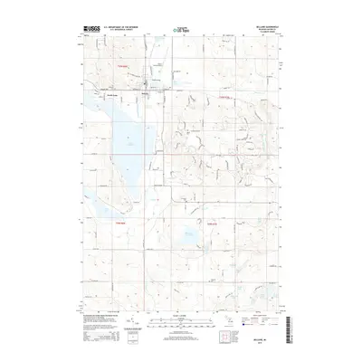
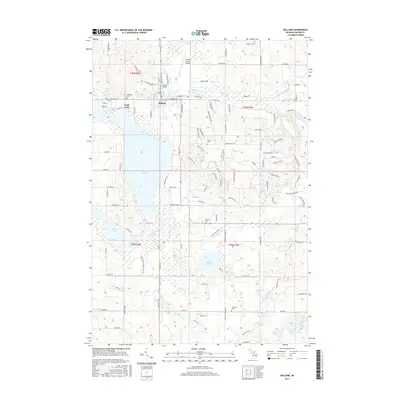
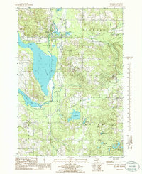 1985 Bellaire1986 Print · USGSThe Chain o' Lakes region around the village of Bellaire is captured here during the mid-eighties, showing the intersection of waterway commerce and forest conservation. Researchers can locate family landmarks like the local Cem, the Antrim County Airport, and the boundaries of the Mackinaw State Forest.
 - 1985 Map of Mancelona, 1986 Print
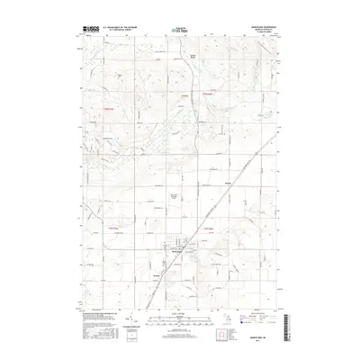
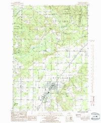 1985 Mancelona1986 Print · USGSAntrim County’s interior highlands and logging corridors are documented in the mid-1980s just as the landscape transitioned toward modern recreation. Researchers can trace the legacy of the rails at the Old R R Grade or locate old community landmarks like Antrim and Wetzel.2 unique versions available
 - 1985 Map of Westwood, 1986 Print
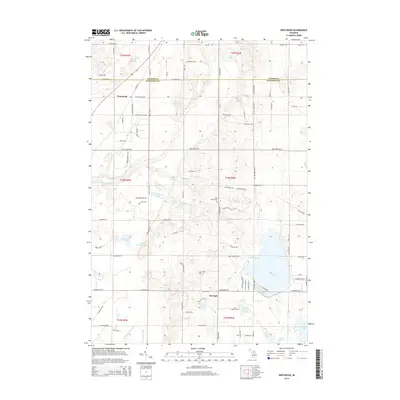
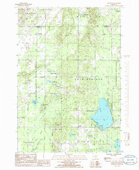 1985 Westwood1986 Print · USGSKalkaska County in the mid-eighties shows a landscape of deep forests and glacial lakes at the intersection of major state lands. You can trace early transit routes like the Old RR Grade or locate family landmarks near Westwood, Darragh, and Manistee Lake.
 - 1989 Map of Traverse City, 1990 Print
 1989 Traverse City1990 Print · USGSNorthern Michigan’s lake-country and forest lands are captured in the late eighties as seasonal tourism and timber hubs expanded. Genealogists and historians can trace the routes of the Ann Arbor RR, the boundaries of Camp Grayling, and settlements like Elk Rapids and Manton.
 - 2011 Map of Bellaire, 2011 Print
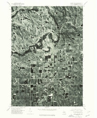
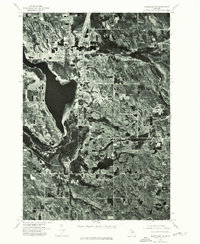
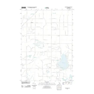
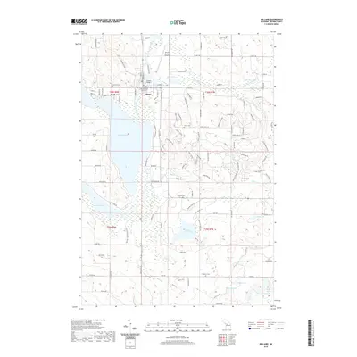
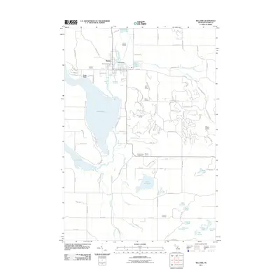 2011 Bellaire2011 Print · USGSCovers Custer Township, including Bellaire, North Arms, and other nearby areas
 - 2011 Map of Westwood, 2011 Print
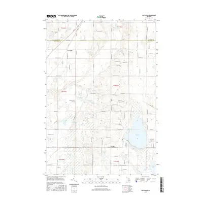
 2011 Westwood2011 Print · USGSCovers Custer Township, including Coldsprings Township, Rapid River Township, and other nearby areas
 - 2011 Map of Leetsville, 2011 Print
 2011 Leetsville2011 Print · USGSCovers Custer Township, including Kalkaska, Rapid River Township, and other nearby areas
 - 2011 Map of Mancelona, 2011 Print
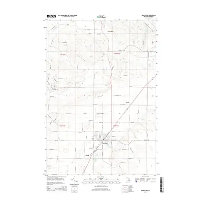
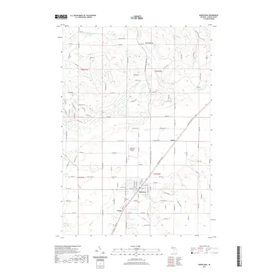
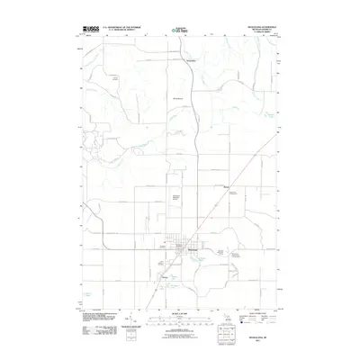 2011 Mancelona2011 Print · USGSCovers Custer Township, including Mancelona, Chestonia Township, and other nearby areas
 - 2014 Map of Leetsville, 2014 Print
 2014 Leetsville2014 Print · USGSCovers Custer Township, including Kalkaska, Rapid River Township, and other nearby areas
 - 2014 Map of Bellaire, 2014 Print
 2014 Bellaire2014 Print · USGSCovers Custer Township, including Bellaire, North Arms, and other nearby areas
 - 2014 Map of Mancelona, 2014 Print
 2014 Mancelona2014 Print · USGSCovers Custer Township, including Mancelona, Chestonia Township, and other nearby areas
 - 2014 Map of Westwood, 2014 Print
 2014 Westwood2014 Print · USGSCovers Custer Township, including Coldsprings Township, Rapid River Township, and other nearby areas
 - 2017 Map of Westwood, 2017 Print
 2017 Westwood2017 Print · USGSCovers Custer Township, including Coldsprings Township, Rapid River Township, and other nearby areas
 - 2017 Map of Mancelona, 2017 Print
 2017 Mancelona2017 Print · USGSCovers Custer Township, including Mancelona, Chestonia Township, and other nearby areas
 - 2017 Map of Bellaire, 2017 Print
 2017 Bellaire2017 Print · USGSCovers Custer Township, including Bellaire, North Arms, and other nearby areas
 - 2017 Map of Leetsville, 2017 Print
 2017 Leetsville2017 Print · USGSCovers Custer Township, including Kalkaska, Rapid River Township, and other nearby areas
 - 2019 Map of Bellaire, 2019 Print
 2019 Bellaire2019 Print · USGSCovers Custer Township, including Bellaire, North Arms, and other nearby areas
 - 2019 Map of Mancelona, 2019 Print
 2019 Mancelona2019 Print · USGSCovers Custer Township, including Mancelona, Chestonia Township, and other nearby areas
Showing maps 1-25 of 31
Top cities near Custer Township
- Whitewater Township historical maps
- East Jordan historical maps
- Kalkaska historical maps
- Mancelona historical maps
- Torch Lake historical maps
- Bellaire historical maps
See more
Frequently asked questions
- What are the different types of historical maps available for Custer Township?
- What is the oldest map of Custer Township?
- Where can I purchase historical maps of Custer Township for my home or office?
- Where can I download high-res historical maps of Custer Township?
- Are there historical topographic maps available for Custer Township?
- Is there historical aerial imagery available for Custer Township?
- Where are historical maps of Custer Township sourced from?