2000s (21st Century) Maps of Mancelona, Mancelona Township
Explore 5 historic maps of Mancelona from the 2000s (21st Century). These maps offer a rare glimpse into what life looked like during the 2000s — showing old roads, neighborhoods, homes, and landmarks that have changed or disappeared over time.
Whether you're researching your family's past, planning a metal detecting trip, or studying how Mancelona's landscape evolved across the 2000s, these high-resolution maps are a powerful tool for exploring the history of this region.
- Focus on a specific era: All maps on this page are from the 2000s, giving you a focused view of this time period.
- See what’s changed: Compare century-old streets, trails, and buildings to today's modern landscape using overlays and satellite layers.
- Research with precision: Use these maps for genealogy, historical research, land use analysis, or educational projects.
- View, download, or print: Maps are fully viewable online in high resolution, and can be downloaded or printed for your own records.
Start exploring Mancelona's history through authentic maps from the 2000s. This is your window into the past.
Mancelona, Mancelona Township maps
(5)- 2011 Map of Mancelona, 2011 Print
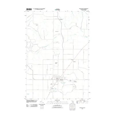 2011 Mancelona2011 Print · USGSCovers Mancelona, including Custer Township, Chestonia Township, and other nearby areas
 - 2014 Map of Mancelona, 2014 Print
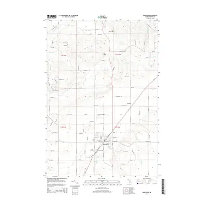 2014 Mancelona2014 Print · USGSCovers Mancelona, including Custer Township, Chestonia Township, and other nearby areas
 - 2017 Map of Mancelona, 2017 Print
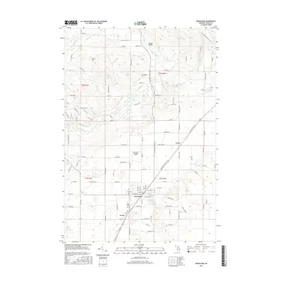 2017 Mancelona2017 Print · USGSCovers Mancelona, including Custer Township, Chestonia Township, and other nearby areas
 - 2019 Map of Mancelona, 2019 Print
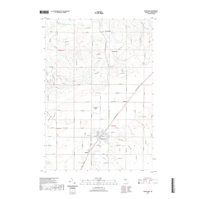 2019 Mancelona2019 Print · USGSCovers Mancelona, including Custer Township, Chestonia Township, and other nearby areas
 - 2023 Map of Mancelona, 2023 Print
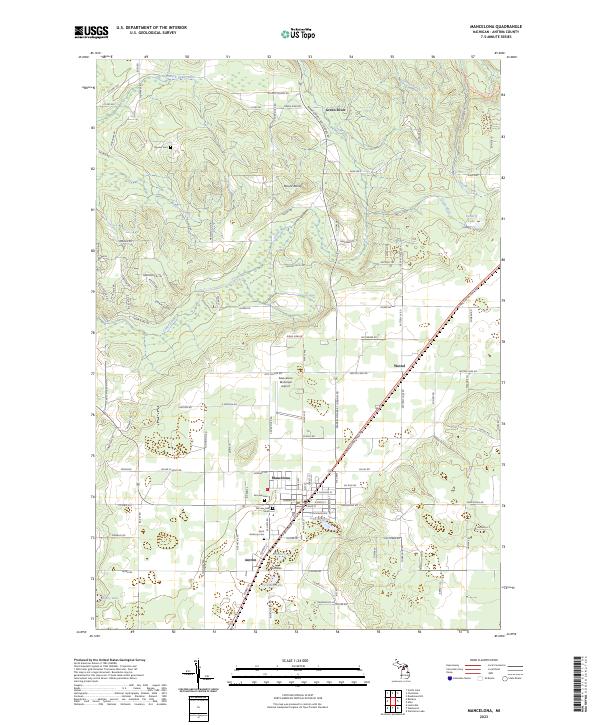 2023 Mancelona2023 Print · USGSAntrim County’s interior landscape is shown here as it appears today, centered on the growing community of Mancelona and its southern neighbor Antrim. Researchers can pinpoint family burial sites at Fairview Cem or trace the winding path of the North Country National Scenic Trl near Mount Bundy.
End of results
Showing maps 1-5 of 5
Top cities near Mancelona
- East Jordan historical maps
- Kalkaska historical maps
- Elmira historical maps
- Bellaire historical maps
- Central Lake historical maps
- Chestonia historical maps
Frequently asked questions
- What are the different types of historical maps available for Mancelona?
- What is the oldest map of Mancelona?
- Where can I purchase historical maps of Mancelona for my home or office?
- Where can I download high-res historical maps of Mancelona?
- Are there historical topographic maps available for Mancelona?
- Is there historical aerial imagery available for Mancelona?
- Where are historical maps of Mancelona sourced from?