2000s (21st Century) Maps of Carlton Township, Michigan
Explore 20 historic maps of Carlton Township from the 2000s (21st Century). These maps offer a rare glimpse into what life looked like during the 2000s — showing old roads, neighborhoods, homes, and landmarks that have changed or disappeared over time.
Whether you're researching your family's past, planning a metal detecting trip, or studying how Carlton Township's landscape evolved across the 2000s, these high-resolution maps are a powerful tool for exploring the history of this region.
- Focus on a specific era: All maps on this page are from the 2000s, giving you a focused view of this time period.
- See what’s changed: Compare century-old streets, trails, and buildings to today's modern landscape using overlays and satellite layers.
- Research with precision: Use these maps for genealogy, historical research, land use analysis, or educational projects.
- View, download, or print: Maps are fully viewable online in high resolution, and can be downloaded or printed for your own records.
Start exploring Carlton Township's history through authentic maps from the 2000s. This is your window into the past.
Carlton Township, MI maps
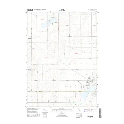
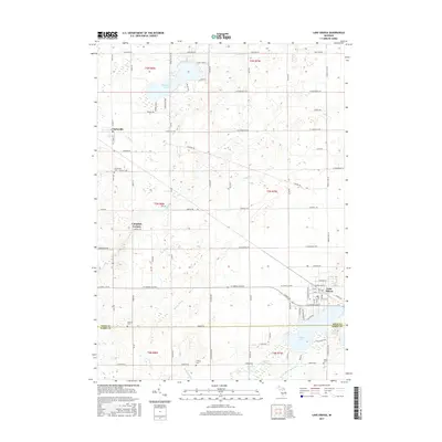
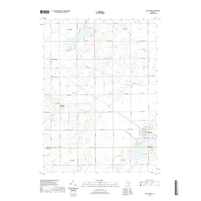
(20)- 2011 Map of Lake Odessa, 2011 Print
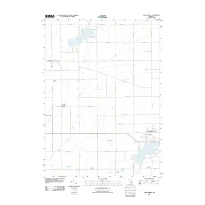 2011 Lake Odessa2011 Print · USGSCovers Carlton Township, including Lake Odessa, Clarksville, and other nearby areas
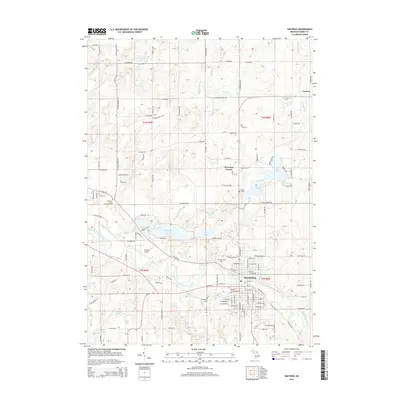
 - 2011 Map of Hastings, 2011 Print
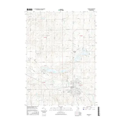
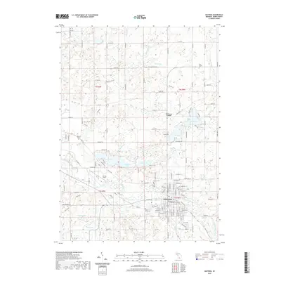
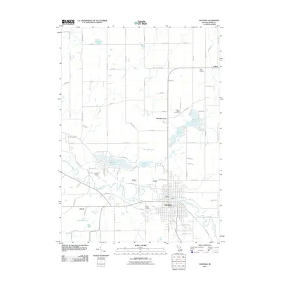 2011 Hastings2011 Print · USGSCovers Carlton Township, including Hastings, Carlton, and other nearby areas
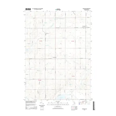
 - 2011 Map of Woodland, 2011 Print
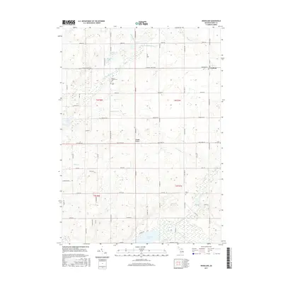
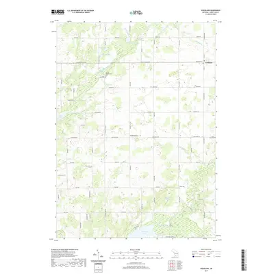
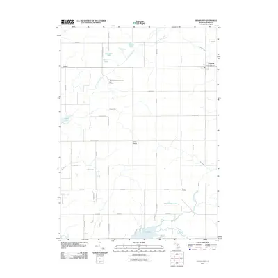 2011 Woodland2011 Print · USGSCovers Carlton Township, including Woodland, Woodland Township, and other nearby areas
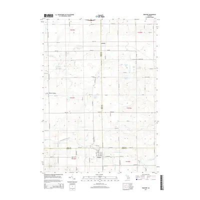
 - 2011 Map of Freeport, 2011 Print
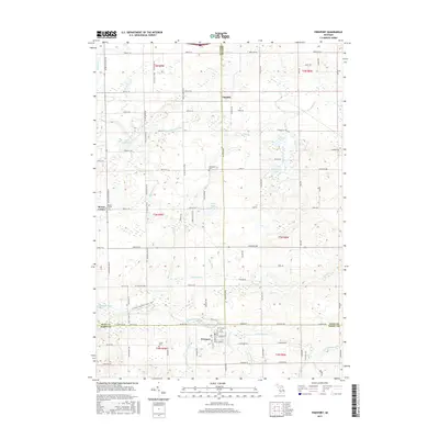
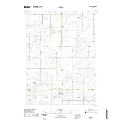
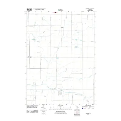 2011 Freeport2011 Print · USGSCovers Carlton Township, including Lowell Charter Township, Freeport, and other nearby areas
 - 2014 Map of Lake Odessa, 2014 Print
 2014 Lake Odessa2014 Print · USGSCovers Carlton Township, including Lake Odessa, Clarksville, and other nearby areas
 - 2014 Map of Hastings, 2014 Print
 2014 Hastings2014 Print · USGSCovers Carlton Township, including Hastings, Carlton, and other nearby areas
 - 2014 Map of Woodland, 2014 Print
 2014 Woodland2014 Print · USGSCovers Carlton Township, including Woodland, Woodland Township, and other nearby areas
 - 2014 Map of Freeport, 2014 Print
 2014 Freeport2014 Print · USGSCovers Carlton Township, including Lowell Charter Township, Freeport, and other nearby areas
 - 2017 Map of Freeport, 2017 Print
 2017 Freeport2017 Print · USGSCovers Carlton Township, including Lowell Charter Township, Freeport, and other nearby areas
 - 2017 Map of Woodland, 2017 Print
 2017 Woodland2017 Print · USGSCovers Carlton Township, including Woodland, Woodland Township, and other nearby areas
 - 2017 Map of Lake Odessa, 2017 Print
 2017 Lake Odessa2017 Print · USGSCovers Carlton Township, including Lake Odessa, Clarksville, and other nearby areas
 - 2017 Map of Hastings, 2017 Print
 2017 Hastings2017 Print · USGSCovers Carlton Township, including Hastings, Carlton, and other nearby areas
 - 2019 Map of Woodland, 2019 Print
 2019 Woodland2019 Print · USGSCovers Carlton Township, including Woodland, Woodland Township, and other nearby areas
 - 2019 Map of Lake Odessa, 2019 Print
 2019 Lake Odessa2019 Print · USGSCovers Carlton Township, including Lake Odessa, Clarksville, and other nearby areas
 - 2019 Map of Freeport, 2019 Print
 2019 Freeport2019 Print · USGSCovers Carlton Township, including Lowell Charter Township, Freeport, and other nearby areas
 - 2019 Map of Hastings, 2019 Print
 2019 Hastings2019 Print · USGSCovers Carlton Township, including Hastings, Carlton, and other nearby areas
 - 2023 Map of Lake Odessa, 2023 Print
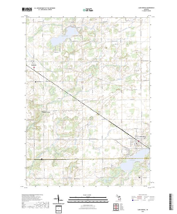 2023 Lake Odessa2023 Print · USGSIonia and Barry Counties meet in this modern survey of the agricultural and lakeside communities west of Lansing. Genealogists can locate family-named burial grounds like Dunkard Cem and Mauch Cem or trace the shoreline developments of Jordan Lake.
 - 2023 Map of Hastings, 2023 Print
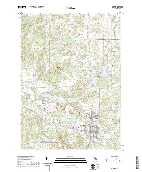 2023 Hastings2023 Print · USGSHastings and the surrounding Barry County landscape are shown in contemporary detail as the community continues to grow around the Thornapple River. Researchers can locate ancestral sites at Riverside Cem or Mount Calvary Cem and trace rural landmarks like Welcome Corner.
 - 2023 Map of Woodland, 2023 Print
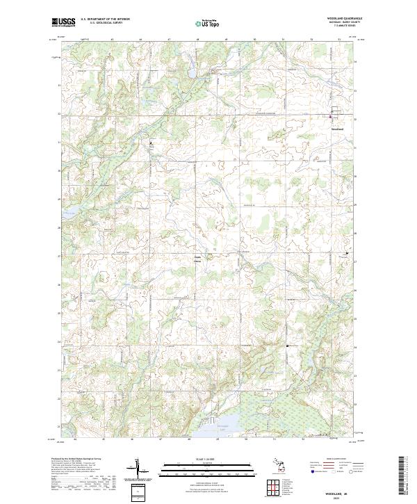 2023 Woodland2023 Print · USGSThe village of Woodland and the community of Coats Grove are the focal points of this Barry County landscape in the 2020s. Researchers can trace land tracts near the Farm Service Agency Interest of Michigan or locate family sites at Fuller Family Cem and Warner Cem.
 - 2023 Map of Freeport, 2023 Print
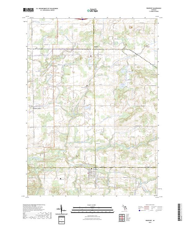 2023 Freeport2023 Print · USGSCrossing the borders of Kent, Ionia, and Barry counties in the early 2020s, this area maintains its deep agricultural and river-centered character. Local historians can trace family ties at the Freeport Cem or follow the North Country National Scenic Trl past landmarks like Lake Number Ten and the Coldwater River.
End of results
Showing maps 1-20 of 20
Top cities near Carlton Township
- Cascade Charter Township historical maps
- Ada Township historical maps
- Ionia historical maps
- Hastings historical maps
- Lowell Charter Township historical maps
- Vergennes Township historical maps
See more
Top neighborhoods of Carlton Township
Frequently asked questions
- What are the different types of historical maps available for Carlton Township?
- What is the oldest map of Carlton Township?
- Where can I purchase historical maps of Carlton Township for my home or office?
- Where can I download high-res historical maps of Carlton Township?
- Are there historical topographic maps available for Carlton Township?
- Is there historical aerial imagery available for Carlton Township?
- Where are historical maps of Carlton Township sourced from?