2000s (21st Century) Maps of Johnstown Township, Michigan
Explore 20 historic maps of Johnstown Township from the 2000s (21st Century). These maps offer a rare glimpse into what life looked like during the 2000s — showing old roads, neighborhoods, homes, and landmarks that have changed or disappeared over time.
Whether you're researching your family's past, planning a metal detecting trip, or studying how Johnstown Township's landscape evolved across the 2000s, these high-resolution maps are a powerful tool for exploring the history of this region.
- Focus on a specific era: All maps on this page are from the 2000s, giving you a focused view of this time period.
- See what’s changed: Compare century-old streets, trails, and buildings to today's modern landscape using overlays and satellite layers.
- Research with precision: Use these maps for genealogy, historical research, land use analysis, or educational projects.
- View, download, or print: Maps are fully viewable online in high resolution, and can be downloaded or printed for your own records.
Start exploring Johnstown Township's history through authentic maps from the 2000s. This is your window into the past.
Johnstown Township, MI maps
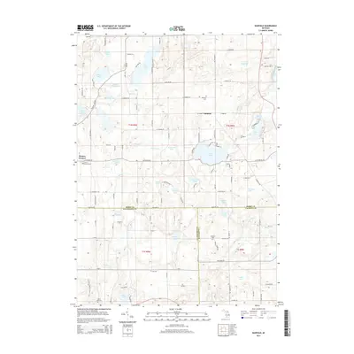
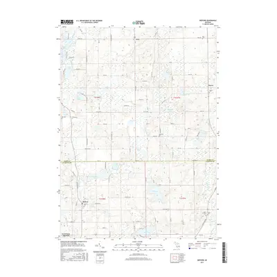
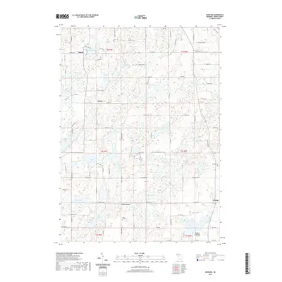
(20)- 2011 Map of Bedford, 2011 Print
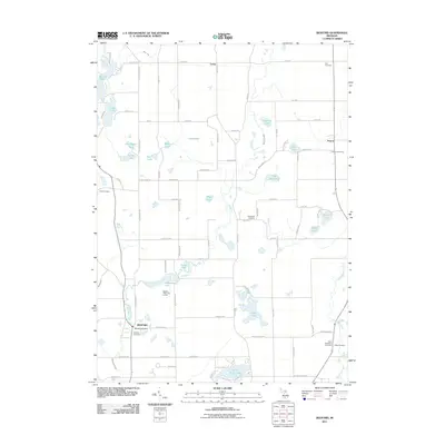 2011 Bedford2011 Print · USGSCovers Johnstown Township, including Assyria, Lacey, and other nearby areas
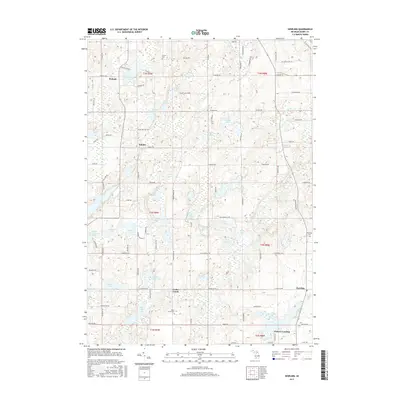
 - 2011 Map of Maple Grove, 2011 Print
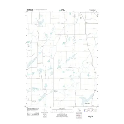
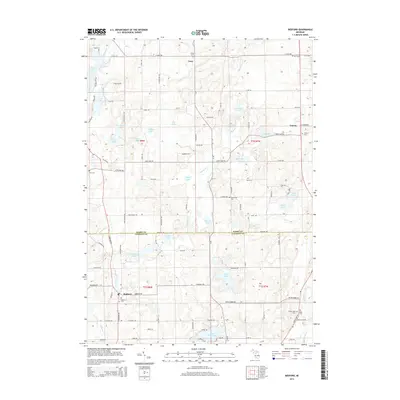
 2011 Maple Grove2011 Print · USGSCovers Johnstown Township, including Baltimore Township, Castleton Township, and other nearby areas
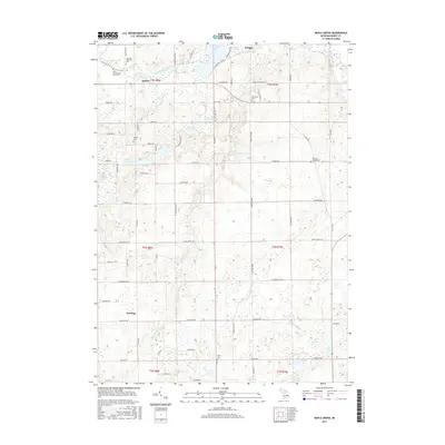
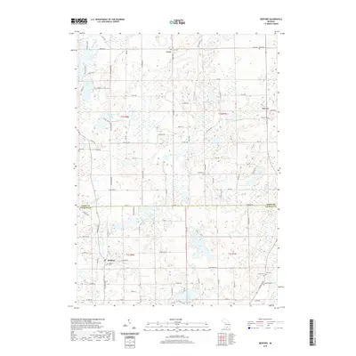
 - 2011 Map of Banfield, 2011 Print
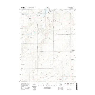
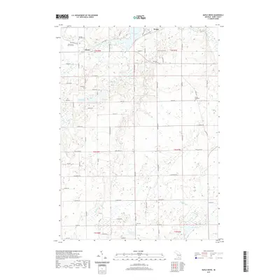
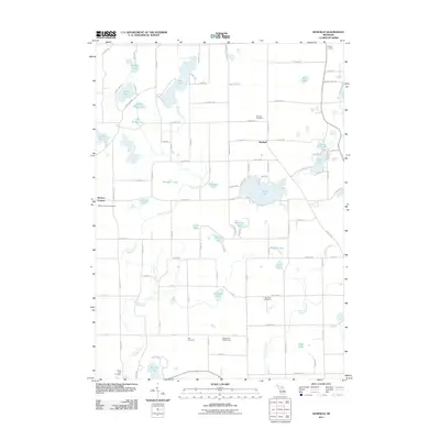 2011 Banfield2011 Print · USGSCovers Johnstown Township, including Barry Township, Ross Township, and other nearby areas
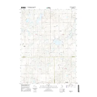
 - 2011 Map of Dowling, 2011 Print
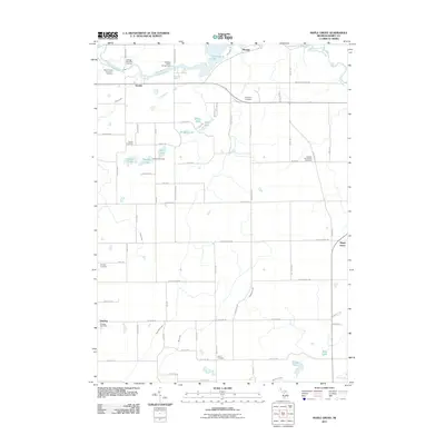
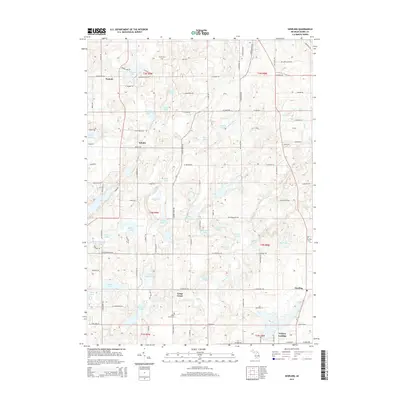
 2011 Dowling2011 Print · USGSCovers Johnstown Township, including Baltimore Township, Barry Township, and other nearby areas
 - 2014 Map of Banfield, 2014 Print
 2014 Banfield2014 Print · USGSCovers Johnstown Township, including Barry Township, Ross Township, and other nearby areas
 - 2014 Map of Maple Grove, 2014 Print
 2014 Maple Grove2014 Print · USGSCovers Johnstown Township, including Baltimore Township, Castleton Township, and other nearby areas
 - 2014 Map of Dowling, 2014 Print
 2014 Dowling2014 Print · USGSCovers Johnstown Township, including Baltimore Township, Barry Township, and other nearby areas
 - 2014 Map of Bedford, 2014 Print
 2014 Bedford2014 Print · USGSCovers Johnstown Township, including Assyria, Lacey, and other nearby areas
 - 2017 Map of Bedford, 2017 Print
 2017 Bedford2017 Print · USGSCovers Johnstown Township, including Assyria, Lacey, and other nearby areas
 - 2017 Map of Dowling, 2017 Print
 2017 Dowling2017 Print · USGSCovers Johnstown Township, including Baltimore Township, Barry Township, and other nearby areas
 - 2017 Map of Maple Grove, 2017 Print
 2017 Maple Grove2017 Print · USGSCovers Johnstown Township, including Baltimore Township, Castleton Township, and other nearby areas
 - 2017 Map of Banfield, 2017 Print
 2017 Banfield2017 Print · USGSCovers Johnstown Township, including Barry Township, Ross Township, and other nearby areas
 - 2019 Map of Dowling, 2019 Print
 2019 Dowling2019 Print · USGSCovers Johnstown Township, including Baltimore Township, Barry Township, and other nearby areas
 - 2019 Map of Bedford, 2019 Print
 2019 Bedford2019 Print · USGSCovers Johnstown Township, including Assyria, Lacey, and other nearby areas
 - 2019 Map of Maple Grove, 2019 Print
 2019 Maple Grove2019 Print · USGSCovers Johnstown Township, including Baltimore Township, Castleton Township, and other nearby areas
 - 2019 Map of Banfield, 2019 Print
 2019 Banfield2019 Print · USGSCovers Johnstown Township, including Barry Township, Ross Township, and other nearby areas
 - 2023 Map of Bedford, 2023 Print
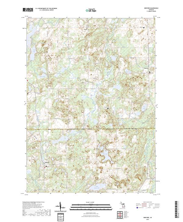 2023 Bedford2023 Print · USGSBarry and Calhoun Counties at the turn of the decade show a landscape of small rural settlements and glacial lakes. Family historians can trace local roots at Checkered Cem, Assyria Cem, and the waterside community of Bedford.
 - 2023 Map of Banfield, 2023 Print
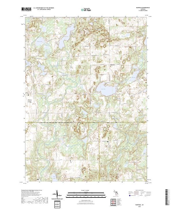 2023 Banfield2023 Print · USGSThe tri-county borderlands of Barry, Kalamazoo, and Calhoun counties are meticulously documented here in the early 2020s. Researchers can locate numerous family burial grounds including Day Cem and Hamilton Cem or trace the winding course of Augusta Creek through the swampy lowlands.
 - 2023 Map of Maple Grove, 2023 Print
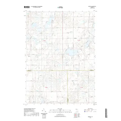
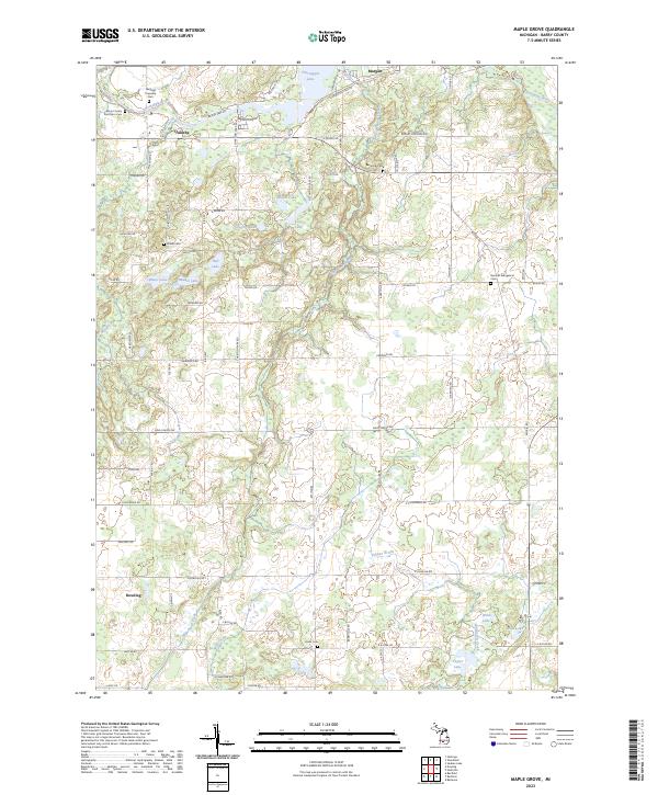 2023 Maple Grove2023 Print · USGSThe rural crossroads and glacial lakes of central Michigan are captured here in the early twenty-first century. Researchers can trace family history at the Barryville Cem and Union Cem or explore the banks of the Thornapple River.
 - 2023 Map of Dowling, 2023 Print
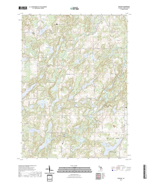 2023 Dowling2023 Print · USGSBarry County’s lake country is captured in this contemporary survey of the settlements and glacial waters of south-central Michigan. Researchers can locate family sites and old townships near Dowling, Cedar Creek Cem, and Podunk.
End of results
Showing maps 1-20 of 20
Top cities near Johnstown Township
- Battle Creek historical maps
- Hastings historical maps
- Springfield historical maps
- Prairieville historical maps
- Irving historical maps
- Assyria historical maps
See more
Top neighborhoods of Johnstown Township
Frequently asked questions
- What are the different types of historical maps available for Johnstown Township?
- What is the oldest map of Johnstown Township?
- Where can I purchase historical maps of Johnstown Township for my home or office?
- Where can I download high-res historical maps of Johnstown Township?
- Are there historical topographic maps available for Johnstown Township?
- Is there historical aerial imagery available for Johnstown Township?
- Where are historical maps of Johnstown Township sourced from?