Old Maps of Pinconning Township, Michigan
Explore 32 old maps of Pinconning Township, spanning from 1954 to today. These high-resolution historic maps reveal how streets, neighborhoods, landmarks, and natural features evolved over time — perfect for genealogy, metal detecting, research, and local history exploration.
What you can do with these maps:
- See how Pinconning Township changed over time: Compare historical maps to modern-day views to trace roads, homesites, rail lines & more.
- View detailed metadata: Each map includes creators, publishers, year, scale, and archive source.
- Overlay maps with satellite & LiDAR: Visualize the past alongside modern tools to explore terrain & human change.
- Trusted historical sources: Maps sourced from the USGS, Library of Congress, and other archives.
- Access maps your way: View online, download high-res files, or order prints for personal or research use.
Start exploring old maps of Pinconning Township to uncover forgotten places, hidden landmarks, and the deep history beneath your feet.
Pinconning Township, MI maps
(32)- 1954 Map of Midland, 1967 Print
 1954 Midland1967 Print · USGSMid-Michigan at the peak of the post-war era shows a landscape balancing industrial growth in Midland with the deep timberlands of the Manistee National Forest. Researchers can trace the legacy of the timber and rail era along the Pennsylvania RR or find family roots in river towns like Chesaning and Big Rapids.4 unique versions available
 - 1954 Map of Flint, 1968 Print
 1954 Flint1968 Print · USGSThe industrial corridor and fertile Thumb region of Michigan come alive in this mid-century survey. Genealogists and historians can trace the rail networks of the Grand Trunk, locate established settlements like Bad Axe and Sandusky, or explore the 1950s shoreline along Saginaw Bay.4 unique versions available
 - 1958 Map of Flint
 1958 Flint1958 Print · USGSThe Michigan Thumb and the Saginaw Valley are captured here during the height of the post-war industrial era. Researchers can trace the complex rail networks of the Grand Trunk Western or locate mid-century landmarks like Lakeport State Park and the port at Bay City.2 unique versions available
 - 1958 Map of Midland
 1958 Midland1958 Print · USGSCentral Michigan in the late fifties is captured here during a period of transition for its university towns and industrial hubs. Genealogists and researchers can trace family lines through old rail-stop towns like Breckenridge and Chesaning or locate property near the Muskegon River and Prairie Farm.
 - 1959 Map of Midland
 1959 Midland1959 Print · USGSMid-century Michigan comes alive in this survey of the central Lower Peninsula, from the streets of Grand Rapids to the Houghton Lake timberlands. Genealogists and rail fans can trace the Ann Arbor RR and Chesapeake and Ohio RR through towns like Big Rapids and Mount Pleasant.
 - 1966 Map of Midland
 1966 Midland1966 Print · USGSCentral Michigan in the mid-1960s shows a landscape of growing manufacturing hubs and active resource extraction. Genealogists and historians can trace the rail corridors of the Grand Trunk Western or locate family-named landmarks near Oil wells and the Muskegon River.
 - 1967 Map of Mount Forest, 1969 Print
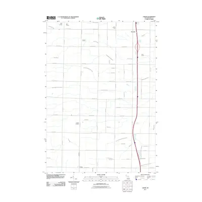
 1967 Mount Forest1969 Print · USGSBay and Arenac counties appear here in the late sixties, showing a landscape defined by drainage canals and the regional oil industry. Genealogists can trace family roots through settlements like Johnsfield and landmarks such as the Bethlehem Ch and Mount Forest.2 unique versions available
 - 1967 Map of Crump, 1969 Print
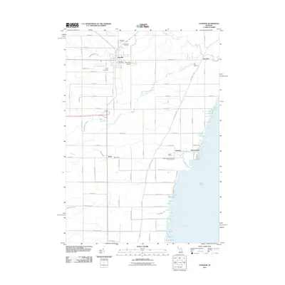
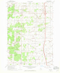 1967 Crump1969 Print · USGSBay County's agricultural heartland is documented in the late sixties, showing the rural townships of Mount Forest and Pinconning. Genealogists can locate St Marys Cemetery, Garfield-Fraser School, and early settlements like Crump or Woodville.2 unique versions available
 - 1967 Map of Pinconning, 1969 Print
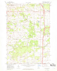
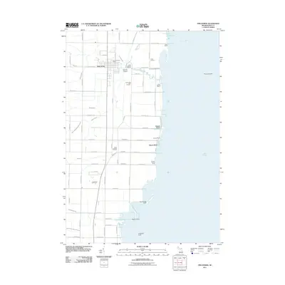
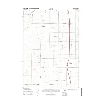
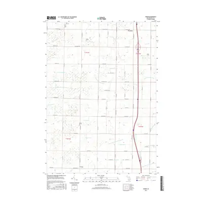
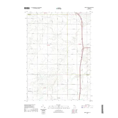
 1967 Pinconning1969 Print · USGSThe Saginaw Bay shoreline comes to life in the late sixties as a hub of rail activity and lakeside recreation. Researchers can trace the dual routes of the Penn Central Railroad and the Detroit and Mackinac Railroad or locate local landmarks like St Michaels Cem.2 unique versions available
 - 1967 Map of Standish, 1969 Print
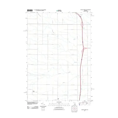
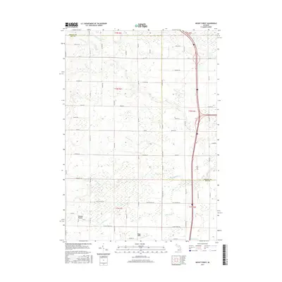
 1967 Standish1969 Print · USGSStandish at the close of the 1960s serves as a busy crossroads for the Detroit and Mackinac and Penn Central railroads. Genealogists can locate family names at Woodmere Cem and St Johns Cem, or trace the shoreline from Whites Beach to Saganing.3 unique versions available
 - 1984 Map of Midland, 1985 Print
 1984 Midland1985 Print · USGSMid-Michigan's industrial and forest lands come into focus in the mid-eighties, centered on the growing hubs of Midland and Mount Pleasant. Genealogists and historians can trace the Chesapeake and Ohio rail corridor through small towns like Rosebush and Edenville.2 unique versions available
 - 1984 Map of Bay City, 1985 Print
 1984 Bay City1985 Print · USGSSaginaw Bay and the surrounding Michigan thumb region are captured in the mid-1980s, showing a landscape defined by industrial riverfronts and expanding lakeside parks. Researchers can trace family roots through landmarks like Floral Gardens Cem or follow the Chesapeake and Ohio rail lines through towns like Bad Axe and Pigeon.
 - 2011 Map of Crump, 2011 Print
 2011 Crump2011 Print · USGSCovers Pinconning Township, including Mount Forest Township, Crump, and other nearby areas
 - 2011 Map of Mount Forest, 2011 Print
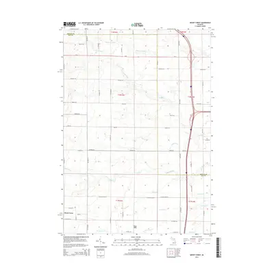
 2011 Mount Forest2011 Print · USGSCovers Pinconning Township, including Mount Forest, Deep River Township, and other nearby areas
 - 2011 Map of Pinconning, 2011 Print
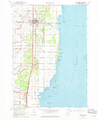
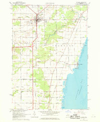
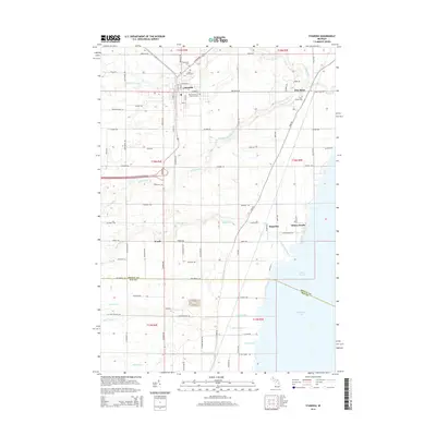
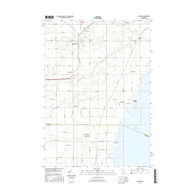
 2011 Pinconning2011 Print · USGSCovers Pinconning Township, including Pinconning, Meyers Beach, and other nearby areas
 - 2011 Map of Standish, 2011 Print
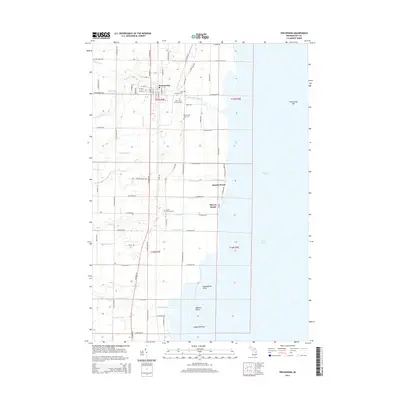
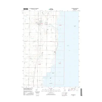
 2011 Standish2011 Print · USGSCovers Pinconning Township, including Standish, Deep River Township, and other nearby areas
 - 2014 Map of Crump, 2014 Print
 2014 Crump2014 Print · USGSCovers Pinconning Township, including Mount Forest Township, Crump, and other nearby areas
 - 2014 Map of Standish, 2014 Print
 2014 Standish2014 Print · USGSCovers Pinconning Township, including Standish, Deep River Township, and other nearby areas
 - 2014 Map of Mount Forest, 2014 Print
 2014 Mount Forest2014 Print · USGSCovers Pinconning Township, including Mount Forest, Deep River Township, and other nearby areas
 - 2014 Map of Pinconning, 2014 Print
 2014 Pinconning2014 Print · USGSCovers Pinconning Township, including Pinconning, Meyers Beach, and other nearby areas
 - 2017 Map of Crump, 2017 Print
 2017 Crump2017 Print · USGSCovers Pinconning Township, including Mount Forest Township, Crump, and other nearby areas
 - 2017 Map of Standish, 2017 Print
 2017 Standish2017 Print · USGSCovers Pinconning Township, including Standish, Deep River Township, and other nearby areas
 - 2017 Map of Mount Forest, 2017 Print
 2017 Mount Forest2017 Print · USGSCovers Pinconning Township, including Mount Forest, Deep River Township, and other nearby areas
 - 2017 Map of Pinconning, 2017 Print
 2017 Pinconning2017 Print · USGSCovers Pinconning Township, including Pinconning, Meyers Beach, and other nearby areas
 - 2019 Map of Mount Forest, 2019 Print
 2019 Mount Forest2019 Print · USGSCovers Pinconning Township, including Mount Forest, Deep River Township, and other nearby areas
Showing maps 1-25 of 32
Top cities near Pinconning Township
- Midland historical maps
- Kawkawlin historical maps
- Beaver historical maps
- Standish historical maps
- Mount Forest historical maps
- Pinconning historical maps
See more
Top neighborhoods of Pinconning Township
Frequently asked questions
- What are the different types of historical maps available for Pinconning Township?
- What is the oldest map of Pinconning Township?
- Where can I purchase historical maps of Pinconning Township for my home or office?
- Where can I download high-res historical maps of Pinconning Township?
- Are there historical topographic maps available for Pinconning Township?
- Is there historical aerial imagery available for Pinconning Township?
- Where are historical maps of Pinconning Township sourced from?