Old Maps of Stevensville, Lincoln Charter Township for Genealogy
Trace your family roots with 8 historic maps of Stevensville. These high-res maps reveal old neighborhoods, homesites, landmarks, and streets — helping you uncover where your ancestors lived and how the area evolved over time.
- Explore historic neighborhoods: Identify where your relatives may have lived in the 1800s or 1900s.
- Compare maps over time: Trace the changes in streets, buildings, and landmarks for multi-generational research.
- Perfect for genealogy & ancestry research: Used by family historians and researchers to map out lineage and migration.
These maps are an incredible resource for exploring your personal connection to Stevensville's past.
Stevensville, Lincoln Charter Township maps
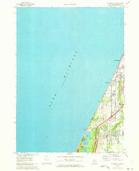
(8)- 1958 Map of Racine, 1971 Print
 1958 Racine1971 Print · USGSThe Lake Michigan shoreline in the late fifties was a study in contrasts between the industrial bustle of Kenosha and the quiet woods of the Allegan State Forest. Genealogists and historians can trace the urban footprint of Evanston or locate strategic sites like Fort Sheridan and the Wind Point Light.3 unique versions available
 - 1962 Map of Racine
 1962 Racine1962 Print · USGSThe Lake Michigan shoreline in the early sixties reveals a fascinating contrast between the dense industrial rail hubs of RACINE and CHICAGO and the forested dunes of Michigan. Local historians can trace military installations like Fort Sheridan or explore the numerous inland retreats around Paw Paw Lake and Sister Lakes.
 - 1970 Map of Stevensville, 1973 Print
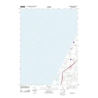
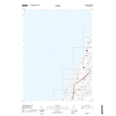
 1970 Stevensville1973 Print · USGSThe Berrien County coast during the 1970s shows a landscape of lakeside communities and evolving infrastructure along Lake Michigan. Genealogists and historians can trace local family roots through the Stevensville Cem, Lake Shore Sch, and early residential layouts in Shoreham.2 unique versions available
 - 2011 Map of Stevensville, 2011 Print
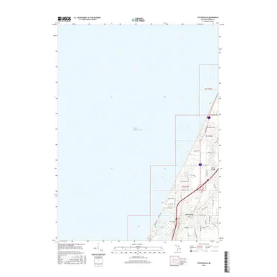
 2011 Stevensville2011 Print · USGSCovers Stevensville, including Saint Joseph, Shoreham, and other nearby areas
 - 2014 Map of Stevensville, 2014 Print
 2014 Stevensville2014 Print · USGSCovers Stevensville, including Saint Joseph, Shoreham, and other nearby areas
 - 2017 Map of Stevensville, 2017 Print
 2017 Stevensville2017 Print · USGSCovers Stevensville, including Saint Joseph, Shoreham, and other nearby areas
 - 2019 Map of Stevensville, 2019 Print
 2019 Stevensville2019 Print · USGSCovers Stevensville, including Saint Joseph, Shoreham, and other nearby areas
 - 2023 Map of Stevensville, 2023 Print
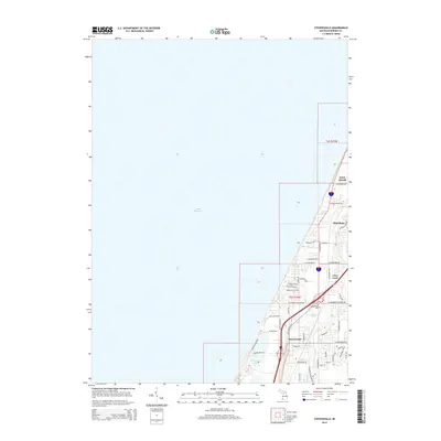
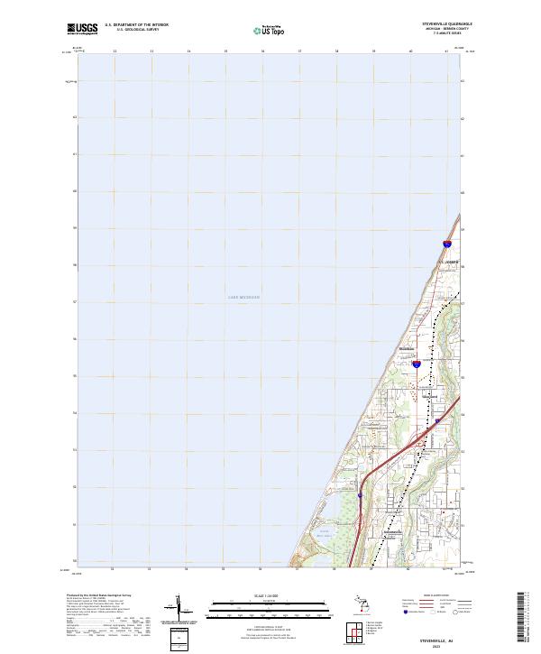 2023 Stevensville2023 Print · USGSThe Lake Michigan shoreline of Berrien County comes into focus in this contemporary survey of the coast between St. Joseph and Stevensville. Genealogists and local researchers can trace the modern layout of Shoreham and Glen Lord, or locate the Lincoln Charter Township Cem.
End of results
Showing maps 1-8 of 8
Top cities near Stevensville
- Benton Harbor historical maps
- Saint Joseph historical maps
- Fair Plain historical maps
- Buchanan historical maps
- Benton Heights historical maps
- Bridgman historical maps
See more
Frequently asked questions
- What are the different types of historical maps available for Stevensville?
- What is the oldest map of Stevensville?
- Where can I purchase historical maps of Stevensville for my home or office?
- Where can I download high-res historical maps of Stevensville?
- Are there historical topographic maps available for Stevensville?
- Is there historical aerial imagery available for Stevensville?
- Where are historical maps of Stevensville sourced from?