Old Maps of Bronson Township, Michigan for Metal Detecting
Plan your next treasure hunt with 27 historic maps of Bronson Township. Find old homesites, ghost towns, trails, and gathering spots that may be lost to time — perfect for identifying promising metal detecting locations.
- Locate forgotten sites: Uncover places like long-lost settlements, abandoned rail lines, or gathering spots.
- Plan better hunts: Use map overlays combined with LiDAR or satellite views to narrow in on historically rich areas.
- Made for detectorists: Thousands of hobbyists use these maps to discover relics, coins, and hidden history.
Use these historic maps to boost your research and find new opportunities beneath the surface of Bronson Township.
Bronson Township, MI maps
(27)- 1953 Map of Fort Wayne, 1963 Print
 1953 Fort Wayne1963 Print · USGSNortheast Indiana and its neighboring borderlands in Michigan and Ohio appear here during a peak era of rail and road expansion. Researchers can trace the massive rail networks of the Nickel Plate Road and Wabash or locate lakeside landmarks like Lake Wawasee and Clear Lake.4 unique versions available
 - 1956 Map of Fort Wayne
 1956 Fort Wayne1956 Print · USGSThe tri-state borderlands of Indiana, Michigan, and Ohio are captured here in the mid-fifties, centered on the growing industrial hub of Fort Wayne. Researchers can trace the heavy rail lines of the New York Central and Pennsylvania alongside prominent water features like Lake Wawasee and the Maumee River.2 unique versions available
 - 1960 Map of Bronson North, 1961 Print
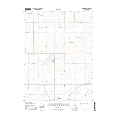
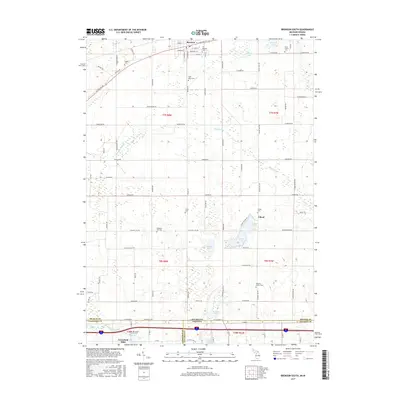
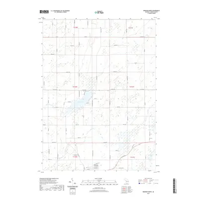
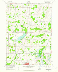 1960 Bronson North1961 Print · USGSBranch County townships were primarily rural and agricultural at the start of the sixties, shaped by the local creek systems and the railroad. Genealogists and local historians can trace family locations near Matteson Lake, York Cem, and Moore Sch.
 - 1960 Map of Bronson South, 1961 Print
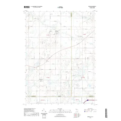
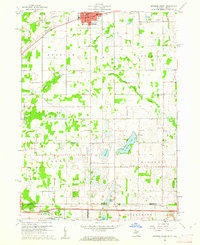 1960 Bronson South1961 Print · USGSThe Michigan-Indiana borderlands are captured here in the early sixties, showing the rural landscape between the railroad at Bronson and the Indiana Toll Road. Researchers can locate family landmarks like St Marys Cem, Greenfield Mills, and Hickory Corners Sch.2 unique versions available
 - 1961 Map of Colon, 1962 Print
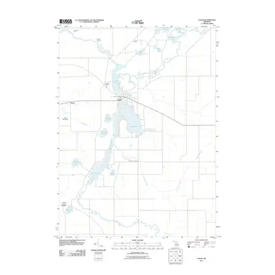
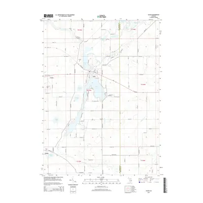
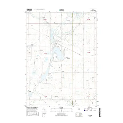
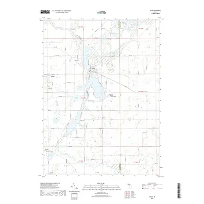
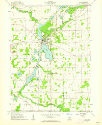 1961 Colon1962 Print · USGSSt. Joseph County at the start of the 1960s reveals a landscape of interconnected glacial lakes and small agricultural hubs. Researchers can trace family roots at Lakeside Cem, locate the Mennonite Ch, or follow the New York Central rail line.2 unique versions available
 - 1961 Map of Burr Oak, 1962 Print
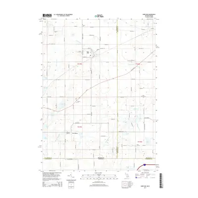
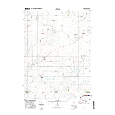
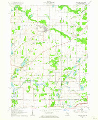 1961 Burr Oak1962 Print · USGSThe Michigan-Indiana borderlands are captured here in the early sixties, showing the agricultural and rail-oriented life of the region. Researchers can locate many family-history sites like Dutch Settlement Cem, Burr Oak, and the Fawn River Sch.2 unique versions available
 - 1985 Map of Elkhart
 1985 Elkhart1985 Print · USGSThe Indiana-Michigan borderlands come into focus in the mid-1980s, showcasing the industrial rail hubs and rural agricultural townships of the St. Joseph valley. Genealogists and historians can trace the growth of Elkhart, Goshen, and Three Rivers, or locate smaller communities like Middlebury and White Pigeon.2 unique versions available
 - 2011 Map of Bronson North, 2011 Print
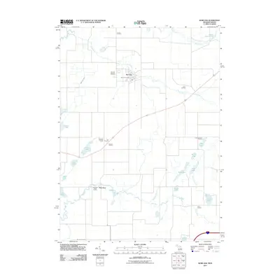
 2011 Bronson North2011 Print · USGSCovers Bronson Township, including Bronson, Matteson, and other nearby areas
 - 2011 Map of Burr Oak, 2011 Print
 2011 Burr Oak2011 Print · USGSCovers Bronson Township, including Fawn River, Burr Oak, and other nearby areas
 - 2011 Map of Colon, 2011 Print
 2011 Colon2011 Print · USGSCovers Bronson Township, including Colon, Matteson Township, and other nearby areas
 - 2011 Map of Bronson South, 2011 Print
 2011 Bronson South2011 Print · USGSCovers Bronson Township, including Bronson, Gilead, and other nearby areas
 - 2014 Map of Bronson North, 2014 Print
 2014 Bronson North2014 Print · USGSCovers Bronson Township, including Bronson, Matteson, and other nearby areas
 - 2014 Map of Colon, 2014 Print
 2014 Colon2014 Print · USGSCovers Bronson Township, including Colon, Matteson Township, and other nearby areas
 - 2014 Map of Burr Oak, 2014 Print
 2014 Burr Oak2014 Print · USGSCovers Bronson Township, including Fawn River, Burr Oak, and other nearby areas
 - 2014 Map of Bronson South, 2014 Print
 2014 Bronson South2014 Print · USGSCovers Bronson Township, including Bronson, Gilead, and other nearby areas
 - 2017 Map of Bronson North, 2017 Print
 2017 Bronson North2017 Print · USGSCovers Bronson Township, including Bronson, Matteson, and other nearby areas
 - 2017 Map of Colon, 2017 Print
 2017 Colon2017 Print · USGSCovers Bronson Township, including Colon, Matteson Township, and other nearby areas
 - 2017 Map of Bronson South, 2017 Print
 2017 Bronson South2017 Print · USGSCovers Bronson Township, including Bronson, Gilead, and other nearby areas
 - 2017 Map of Burr Oak, 2017 Print
 2017 Burr Oak2017 Print · USGSCovers Bronson Township, including Fawn River, Burr Oak, and other nearby areas
 - 2019 Map of Bronson South, 2019 Print
 2019 Bronson South2019 Print · USGSCovers Bronson Township, including Bronson, Gilead, and other nearby areas
 - 2019 Map of Bronson North, 2019 Print
 2019 Bronson North2019 Print · USGSCovers Bronson Township, including Bronson, Matteson, and other nearby areas
 - 2019 Map of Colon, 2019 Print
 2019 Colon2019 Print · USGSCovers Bronson Township, including Colon, Matteson Township, and other nearby areas
 - 2019 Map of Burr Oak, 2019 Print
 2019 Burr Oak2019 Print · USGSCovers Bronson Township, including Fawn River, Burr Oak, and other nearby areas
 - 2023 Map of Bronson North, 2023 Print
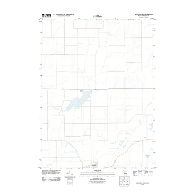
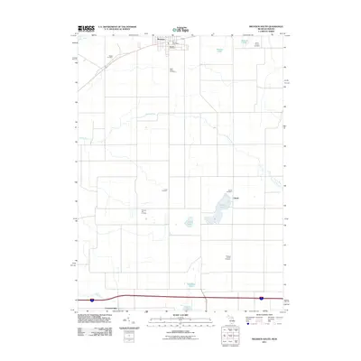
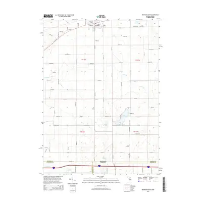
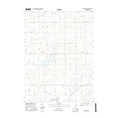
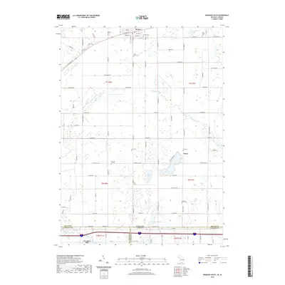
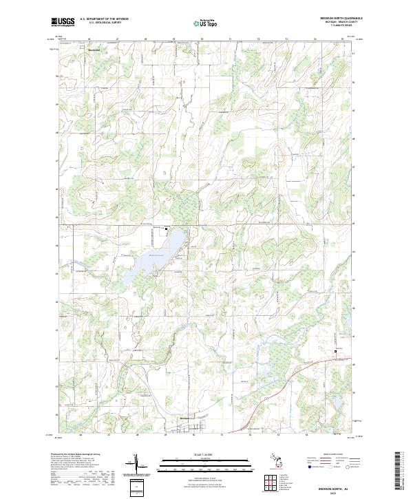 2023 Bronson North2023 Print · USGSBranch County's rural landscape between Sherwood and Bronson is captured here in this recent survey. Researchers can locate family burial sites at Matteson Cem and York Cem, or trace the shoreline developments around Matteson Lake.
 - 2023 Map of Burr Oak, 2023 Print
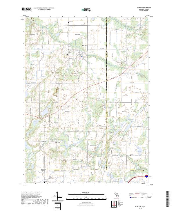 2023 Burr Oak2023 Print · USGSThe Michigan and Indiana borderlands are captured here in recent years, showing a landscape defined by the Fawn River and Prairie River. Researchers can locate numerous local burial sites, including the Dutch Settlement Cem, Freedom Cem, and Adams Cem.
Showing maps 1-25 of 27
Top cities near Bronson Township
- Sturgis historical maps
- Coldwater historical maps
- Angola historical maps
- Nottawa historical maps
- Jamestown historical maps
- LaGrange historical maps
See more
Frequently asked questions
- What are the different types of historical maps available for Bronson Township?
- What is the oldest map of Bronson Township?
- Where can I purchase historical maps of Bronson Township for my home or office?
- Where can I download high-res historical maps of Bronson Township?
- Are there historical topographic maps available for Bronson Township?
- Is there historical aerial imagery available for Bronson Township?
- Where are historical maps of Bronson Township sourced from?