Old Maps of Union Township, Michigan
Explore 34 old maps of Union Township, spanning from 1918 to today. These high-resolution historic maps reveal how streets, neighborhoods, landmarks, and natural features evolved over time — perfect for genealogy, metal detecting, research, and local history exploration.
What you can do with these maps:
- See how Union Township changed over time: Compare historical maps to modern-day views to trace roads, homesites, rail lines & more.
- View detailed metadata: Each map includes creators, publishers, year, scale, and archive source.
- Overlay maps with satellite & LiDAR: Visualize the past alongside modern tools to explore terrain & human change.
- Trusted historical sources: Maps sourced from the USGS, Library of Congress, and other archives.
- Access maps your way: View online, download high-res files, or order prints for personal or research use.
Start exploring old maps of Union Township to uncover forgotten places, hidden landmarks, and the deep history beneath your feet.
Union Township, MI maps
(34)- 1918 Map of Union City
 1918 Union City1918 Print · USGSSettled along the forks of the St. Joseph River during the First World War, this region shows a landscape of rail-connected towns and country schoolhouses. Genealogists can trace family footprints at Stanley Corners or find old homesteads near the German Lutheran Church and Mershon School.3 unique versions available
 - 1947 Map of Union City, 1972 Print
 1947 Union City1972 Print · USGSThe St. Joseph River valley in the late 1940s is shown here at its rural peak, shortly after the war. Family historians can trace ancestral sites through dozens of local landmarks like Morgan Cem, Cobblestone Sch, and Burlington Sta.2 unique versions available
 - 1950 Map of Union City
 1950 Union City1950 Print · USGSBranch and Calhoun counties are captured here in the mid-century, showcasing a landscape of riverside towns and agricultural hamlets. Researchers can trace family history through numerous rural landmarks like Burr Oak Cem, Newton Ch, and the Burlington Sta rail stop.2 unique versions available
 - 1953 Map of Fort Wayne, 1963 Print
 1953 Fort Wayne1963 Print · USGSNortheast Indiana and its neighboring borderlands in Michigan and Ohio appear here during a peak era of rail and road expansion. Researchers can trace the massive rail networks of the Nickel Plate Road and Wabash or locate lakeside landmarks like Lake Wawasee and Clear Lake.4 unique versions available
 - 1956 Map of Fort Wayne
 1956 Fort Wayne1956 Print · USGSThe tri-state borderlands of Indiana, Michigan, and Ohio are captured here in the mid-fifties, centered on the growing industrial hub of Fort Wayne. Researchers can trace the heavy rail lines of the New York Central and Pennsylvania alongside prominent water features like Lake Wawasee and the Maumee River.2 unique versions available
 - 1958 Map of Grand Rapids, 1973 Print
 1958 Grand Rapids1973 Print · USGSSouthern Michigan at the peak of the postwar era shows a landscape of burgeoning cities and new interstate highways. Trace family roots and regional growth in Grand Rapids, Battle Creek, and the glacial lake country around Gun Lake or Gull Lake.2 unique versions available
 - 1960 Map of Coldwater West, 1961 Print
 1960 Coldwater West1961 Print · USGSBranch County at the start of the 1960s shows the growth of the Coldwater area along the New York Central railroad and a distinctive chain of glacial lakes. Genealogists and local historians can locate family landmarks like Lockwood Ch, Oak Grove Cem, and several one-room schoolhouse sites.2 unique versions available
 - 1960 Map of Bronson North, 1961 Print
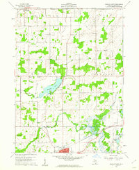 1960 Bronson North1961 Print · USGSBranch County townships were primarily rural and agricultural at the start of the sixties, shaped by the local creek systems and the railroad. Genealogists and local historians can trace family locations near Matteson Lake, York Cem, and Moore Sch.
 - 1961 Map of Grand Rapids
 1961 Grand Rapids1961 Print · USGSSouthern Michigan at the dawn of the 1960s reveals a region shaped by major river systems and a robust rail network. Trace mid-century industrial growth and land use from Grand Rapids to the Fort Custer Military Reservation and Gun Lake.
 - 1962 Map of Grand Rapids
 1962 Grand Rapids1962 Print · USGSMid-century Southern Michigan is mapped here at a time of massive growth, showing the expanding urban footprints of Grand Rapids and Lansing. Researchers can trace the legacy of the Grand Trunk Western RR, find historic boundaries of the Fort Custer Military Reservation, or locate sporting camps around Gun Lake.2 unique versions available
 - 1982 Map of Burlington
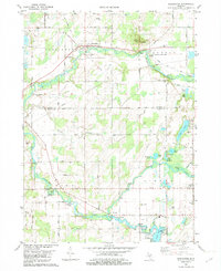 1982 Burlington1982 Print · USGSSouthern Michigan's river valleys and glacial lakes are captured in detail during the early 1980s as the rail and road network matured. Genealogists and local historians can trace family plots at Township Cem or locate old crossings at Hodunk and Burlington.
 - 1982 Map of Union City
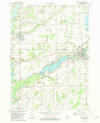 1982 Union City1982 Print · USGSThe confluence of the St Joseph and Coldwater Rivers defines this Branch County region in the early eighties. Genealogists and local historians can trace family plots at Old Burg Cem and Riverside Cem or locate the old CONRAIL tracks through Sherwood.
 - 1982 Map of Kalamazoo, 1983 Print
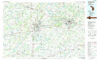 1982 Kalamazoo1983 Print · USGSThe Kalamazoo River valley in the early eighties shows a landscape of growing suburban centers and heavy rail infrastructure. Genealogists and researchers can trace the limits of Kalamazoo and Battle Creek or locate landmarks like Fort Custer National Cemetery and Gull Lake.
 - 1985 Map of Elkhart
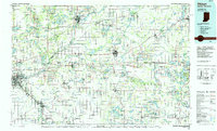 1985 Elkhart1985 Print · USGSThe Indiana-Michigan borderlands come into focus in the mid-1980s, showcasing the industrial rail hubs and rural agricultural townships of the St. Joseph valley. Genealogists and historians can trace the growth of Elkhart, Goshen, and Three Rivers, or locate smaller communities like Middlebury and White Pigeon.2 unique versions available
 - 2011 Map of Union City, 2011 Print
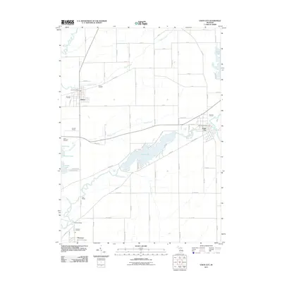 2011 Union City2011 Print · USGSSouthern Michigan river life and rural township growth are documented here in the early twenty-first century. Genealogists and local historians can trace family locations near Riverside Cemetery, navigate the banks of the Saint Joseph River, and locate landmarks like the Athens Post Office.
 - 2011 Map of Burlington, 2011 Print
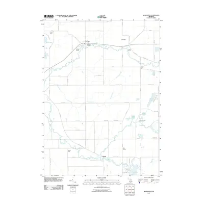 2011 Burlington2011 Print · USGSBranch County and the surrounding countryside appear in the early 21st century as a well-defined network of rural roads and river valleys. Genealogists can trace family roots through Windfall Cemetery and settlements like Hodunk or Girard.
 - 2011 Map of Bronson North, 2011 Print
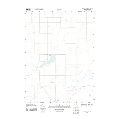 2011 Bronson North2011 Print · USGSBranch County, Michigan, is shown here as a landscape of interconnected waterways and small settlements in the early twenty-first century. Researchers can trace family history at Matteson Cemetery or York Cemetery and explore the shorelines of Matteson Lake and Palmitere Lake.
 - 2011 Map of Coldwater West, 2011 Print
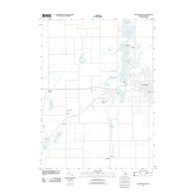 2011 Coldwater West2011 Print · USGSBranch County at the start of the 2010s shows a landscape of interconnected glacial lakes and small rural crossroads. Genealogists and local researchers can trace family plots at Batavia Cemetery or Lockwood Cemetery and locate the historic Capri Drive-In Theater.
 - 2014 Map of Union City, 2014 Print
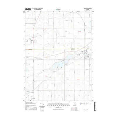 2014 Union City2014 Print · USGSThe confluence of the Saint Joseph River and Coldwater River dominates this 2014 survey of southern Michigan. Genealogists can locate several local burial sites like Old Burg Cem and Riverside Cem near the town of Union City.
 - 2014 Map of Burlington, 2014 Print
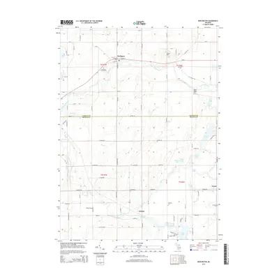 2014 Burlington2014 Print · USGSThe river valleys of Calhoun and Branch Counties come into focus in the mid-2010s, centered on the Saint Joseph River. Genealogists and local historians can trace family roots through Windfall Cem and Evergreen Cem or locate old community hubs like Hodunk and Girard.
 - 2014 Map of Bronson North, 2014 Print
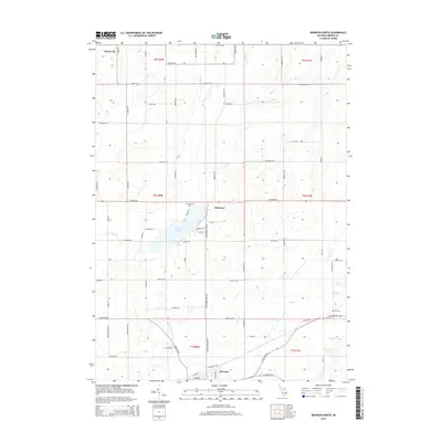 2014 Bronson North2014 Print · USGSBronson and Matteson are captured in this modern survey of Branch County's lake-strewn agricultural heartland. Genealogists and local historians can pinpoint Matteson Cem, trace the course of Little Swan Cr, and locate family land near Matteson Lake.
 - 2014 Map of Coldwater West, 2014 Print
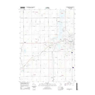 2014 Coldwater West2014 Print · USGSThe city of Coldwater and its surrounding lake-strewn countryside are captured here in the early twenty-first century. Genealogists and local historians can locate several family burial sites like Hill Cem and Hurley Cem, or trace the winding course of the Sauk River.
 - 2017 Map of Union City, 2017 Print
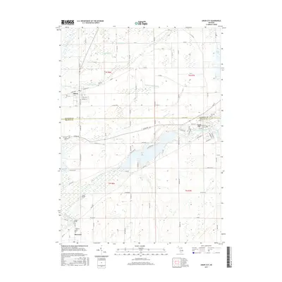 2017 Union City2017 Print · USGSBranch and Calhoun counties meet here in the late twenty-teens, where the river-fed village life of Union City and Athens endures. Genealogists can locate family landmarks at Old Burg Cem, Riverside Cem, and the North Sherwood Cem near the banks of the Saint Joseph River.
 - 2017 Map of Burlington, 2017 Print
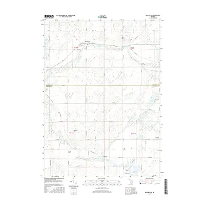 2017 Burlington2017 Print · USGSSouthern Michigan farm country and glacial lake chains define this landscape at the intersection of Calhoun and Branch Counties. Researchers can locate several historic burial grounds like West Prairie Cem and trace the paths of the Coldwater River and Saint Joseph River.
 - 2017 Map of Bronson North, 2017 Print
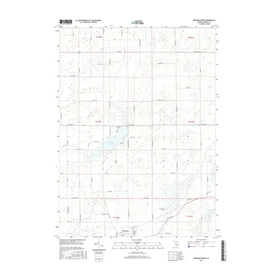 2017 Bronson North2017 Print · USGSBranch County's lake country and the city of Bronson are documented here in the early twenty-first century. Researchers can locate family burial sites at Matteson Cem and York Cem or trace the drainage of Swan Cr near Matteson Lake.
Showing maps 1-25 of 34
Top cities near Union Township
- Battle Creek historical maps
- Coldwater historical maps
- Marshall historical maps
- Bronson historical maps
- Girard historical maps
- Quincy historical maps
See more
Top neighborhoods of Union Township
Frequently asked questions
- What are the different types of historical maps available for Union Township?
- What is the oldest map of Union Township?
- Where can I purchase historical maps of Union Township for my home or office?
- Where can I download high-res historical maps of Union Township?
- Are there historical topographic maps available for Union Township?
- Is there historical aerial imagery available for Union Township?
- Where are historical maps of Union Township sourced from?