2000s (21st Century) Maps of Beadle Lake, Emmett Charter Township
Explore 5 historic maps of Beadle Lake from the 2000s (21st Century). These maps offer a rare glimpse into what life looked like during the 2000s — showing old roads, neighborhoods, homes, and landmarks that have changed or disappeared over time.
Whether you're researching your family's past, planning a metal detecting trip, or studying how Beadle Lake's landscape evolved across the 2000s, these high-resolution maps are a powerful tool for exploring the history of this region.
- Focus on a specific era: All maps on this page are from the 2000s, giving you a focused view of this time period.
- See what’s changed: Compare century-old streets, trails, and buildings to today's modern landscape using overlays and satellite layers.
- Research with precision: Use these maps for genealogy, historical research, land use analysis, or educational projects.
- View, download, or print: Maps are fully viewable online in high resolution, and can be downloaded or printed for your own records.
Start exploring Beadle Lake's history through authentic maps from the 2000s. This is your window into the past.
Beadle Lake, Emmett Charter Township maps
(5)- 2011 Map of Battle Creek, 2011 Print
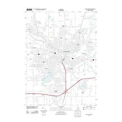 2011 Battle Creek2011 Print · USGSCovers Beadle Lake, including Battle Creek, Springfield, and other nearby areas
 - 2014 Map of Battle Creek, 2014 Print
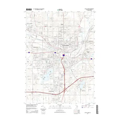 2014 Battle Creek2014 Print · USGSCovers Beadle Lake, including Battle Creek, Springfield, and other nearby areas
 - 2017 Map of Battle Creek, 2017 Print
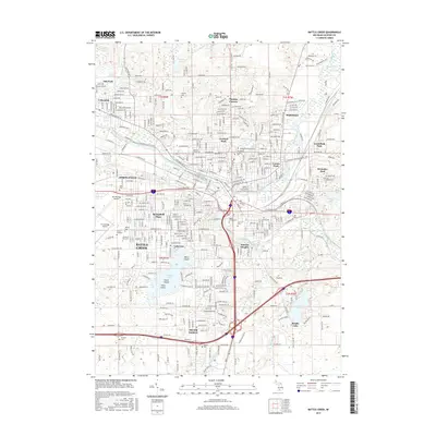 2017 Battle Creek2017 Print · USGSCovers Beadle Lake, including Battle Creek, Springfield, and other nearby areas
 - 2019 Map of Battle Creek, 2019 Print
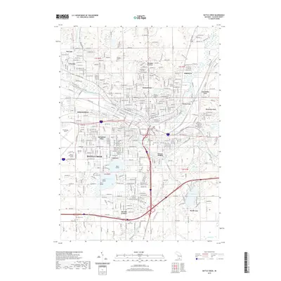 2019 Battle Creek2019 Print · USGSCovers Beadle Lake, including Battle Creek, Springfield, and other nearby areas
 - 2023 Map of Battle Creek, 2023 Print
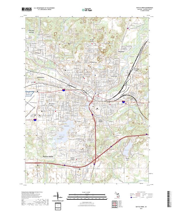 2023 Battle Creek2023 Print · USGSBattle Creek and its suburbs come alive in this modern survey of Calhoun County’s riverfront and rail corridors. Researchers can locate numerous family burial sites like Harmon Halladay Cem, schools such as Kellogg Community College, and islands within Goguac Lake.
End of results
Showing maps 1-5 of 5
Top cities near Beadle Lake
- Battle Creek historical maps
- Marshall historical maps
- Springfield historical maps
- Assyria historical maps
- Olivet historical maps
- Bellevue historical maps
See more
Frequently asked questions
- What are the different types of historical maps available for Beadle Lake?
- What is the oldest map of Beadle Lake?
- Where can I purchase historical maps of Beadle Lake for my home or office?
- Where can I download high-res historical maps of Beadle Lake?
- Are there historical topographic maps available for Beadle Lake?
- Is there historical aerial imagery available for Beadle Lake?
- Where are historical maps of Beadle Lake sourced from?