Old Maps of Bonner Landing, Peaine Township for Academic Research
Study the evolution of Bonner Landing with 10 high-resolution historic maps. Whether you're teaching, researching, or modeling changes in land use, these maps provide essential visual documentation of urban, environmental, and geographic change.
- Analyze long-term change: Track patterns in development, transportation, and natural features.
- Ideal for environmental or urban studies: Support academic projects with primary historical map data.
- Use in the classroom or lab: Educators and researchers rely on these maps to bring historical context to life.
These maps are a powerful tool for teaching, research, and visualizing how Bonner Landing has changed over the decades.
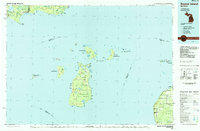
Bonner Landing, Peaine Township maps
(10)- 1955 Map of Cheboygan, 1964 Print
 1955 Cheboygan1964 Print · USGSNorthern Michigan in the mid-fifties is a landscape of dense timber and deep water, showing the region just as the road network began to modernize. Trace family roots in lakeside towns like St Ignace and Petoskey, or follow the historic tracks of the Pennsylvania RR and New York Central RR.5 unique versions available
 - 1956 Map of Beaver Island, 1959 Print
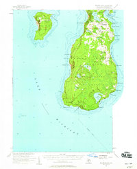 1956 Beaver Island1959 Print · USGSBeaver Island and High Island appear here in the mid-1950s, showing the isolated fishing and timber communities of Lake Michigan. Genealogists can trace the rural landscape of St James and locate the Holy Cross Ch and Roseville Sch (Abandoned).2 unique versions available
 - 1958 Map of Cheboygan
 1958 Cheboygan1958 Print · USGSThe tip of Michigan's Lower Peninsula and the surrounding Great Lakes islands are shown here in the late fifties, during the peak of the rail-and-ferry era. Trace the paths of the Pennsylvania RR and explore lakeside settlements like St James, Petoskey, and Indian River.2 unique versions available
 - 1984 Map of Beaver Island, 1985 Print
 1984 Beaver Island1985 Print · USGSBeaver Island and the surrounding archipelago are shown in the mid-eighties before modern developments changed these remote coastal landscapes. Researchers can trace the layout of island settlements like St James or mainland hamlets such as Good Hart and Middle Village.2 unique versions available
 - 1986 Map of Beaver Island North
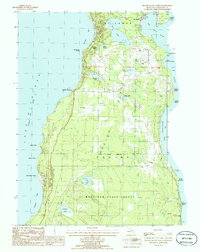 1986 Beaver Island North1986 Print · USGSNorthern Beaver Island in the mid-1980s shows a landscape defined by maritime heritage and the dense woods of the Mackinaw State Forest. Local historians can trace the development of St James and Bonner Landing or locate landmarks like the Lighthouse and Weike Airport.
 - 2011 Map of Beaver Island North, 2011 Print
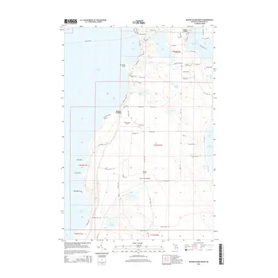
 2011 Beaver Island North2011 Print · USGSCovers Bonner Landing, including Saint James, Saint James Township, and other nearby areas
 - 2014 Map of Beaver Island North, 2014 Print
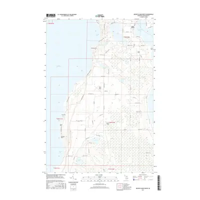
 2014 Beaver Island North2014 Print · USGSCovers Bonner Landing, including Saint James, Saint James Township, and other nearby areas
 - 2017 Map of Beaver Island North, 2017 Print
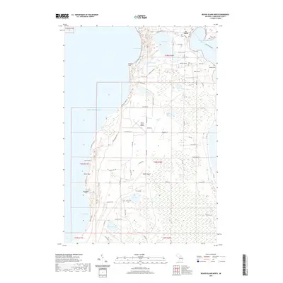
 2017 Beaver Island North2017 Print · USGSCovers Bonner Landing, including Saint James, Saint James Township, and other nearby areas
 - 2019 Map of Beaver Island North, 2019 Print
 2019 Beaver Island North2019 Print · USGSCovers Bonner Landing, including Saint James, Saint James Township, and other nearby areas
 - 2023 Map of Beaver Island North, 2023 Print
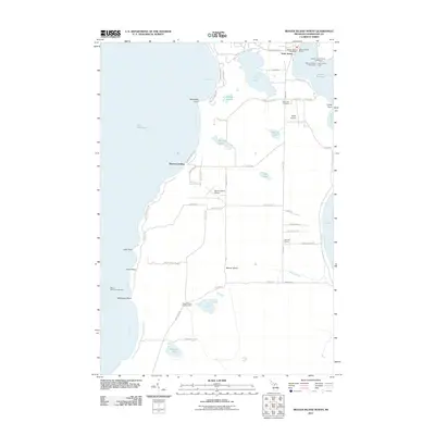
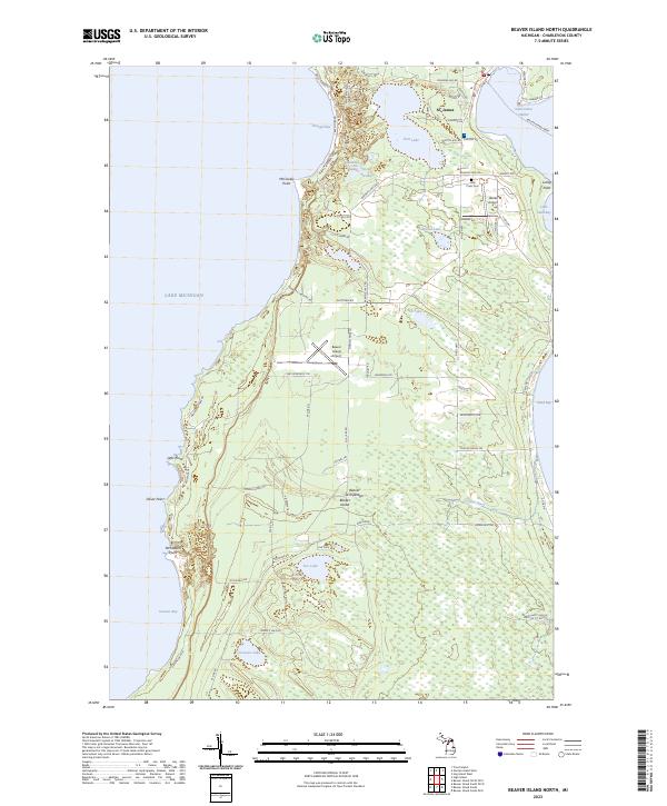 2023 Beaver Island North2023 Print · USGSNorthern Lake Michigan's isolated island community comes into focus in this detailed modern survey of the Beaver Archipelago. Researchers can trace family-named roads and sites from St. James to the Holy Cross Cem and the Beaver Island Ferry terminal.
End of results
Showing maps 1-10 of 10
Top cities near Bonner Landing
Frequently asked questions
- What are the different types of historical maps available for Bonner Landing?
- What is the oldest map of Bonner Landing?
- Where can I purchase historical maps of Bonner Landing for my home or office?
- Where can I download high-res historical maps of Bonner Landing?
- Are there historical topographic maps available for Bonner Landing?
- Is there historical aerial imagery available for Bonner Landing?
- Where are historical maps of Bonner Landing sourced from?