Old Maps of Legrand, Koehler Township for Academic Research
Study the evolution of Legrand with 10 high-resolution historic maps. Whether you're teaching, researching, or modeling changes in land use, these maps provide essential visual documentation of urban, environmental, and geographic change.
- Analyze long-term change: Track patterns in development, transportation, and natural features.
- Ideal for environmental or urban studies: Support academic projects with primary historical map data.
- Use in the classroom or lab: Educators and researchers rely on these maps to bring historical context to life.
These maps are a powerful tool for teaching, research, and visualizing how Legrand has changed over the decades.
Legrand, Koehler Township maps
(10)- 1955 Map of Cheboygan, 1964 Print
 1955 Cheboygan1964 Print · USGSNorthern Michigan in the mid-fifties is a landscape of dense timber and deep water, showing the region just as the road network began to modernize. Trace family roots in lakeside towns like St Ignace and Petoskey, or follow the historic tracks of the Pennsylvania RR and New York Central RR.5 unique versions available
 - 1957 Map of Tower, 1958 Print
 1957 Tower1958 Print · USGSCheboygan County’s timberlands and rural junctions are captured here in the late fifties as the regional rail network still served the forest economy. Researchers can locate the Waverly Cem, abandoned schoolhouses, and old stops like Fingerboard Corner and Afton.3 unique versions available
 - 1958 Map of Cheboygan
 1958 Cheboygan1958 Print · USGSThe tip of Michigan's Lower Peninsula and the surrounding Great Lakes islands are shown here in the late fifties, during the peak of the rail-and-ferry era. Trace the paths of the Pennsylvania RR and explore lakeside settlements like St James, Petoskey, and Indian River.2 unique versions available
 - 1982 Map of Petoskey
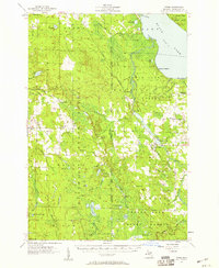
 1982 Petoskey1982 Print · USGSNorthern Michigan in the early eighties shows a landscape of deep timber and vast inland lakes. Genealogists and historians can trace the rail corridors of the Michigan Central and Detroit and Mackinac between Petoskey, Gaylord, and Wolverine.
 - 1986 Map of Legrand
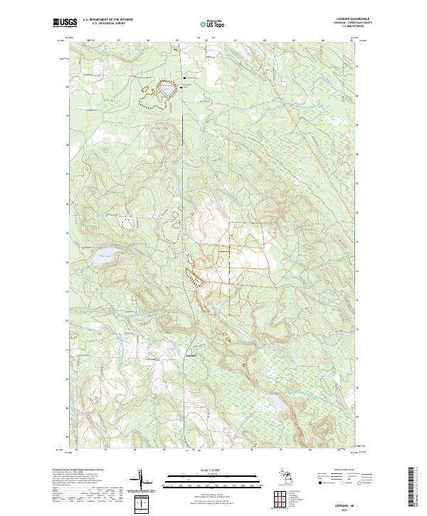
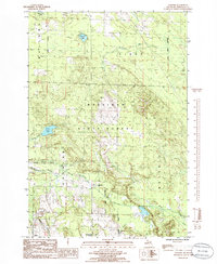 1986 Legrand1986 Print · USGSThe northern Michigan woods in the mid-1980s are captured here during a time of forestry and quiet rural life. Researchers can trace the path of the Old RR Grade near Legrand or locate landmarks like the Town Hall and Silver Lake.
 - 2011 Map of Legrand, 2011 Print
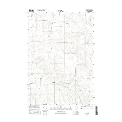
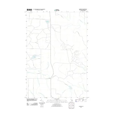 2011 Legrand2011 Print · USGSCovers Legrand, including Waverly Township, Mullett Township, and other nearby areas
 - 2014 Map of Legrand, 2014 Print
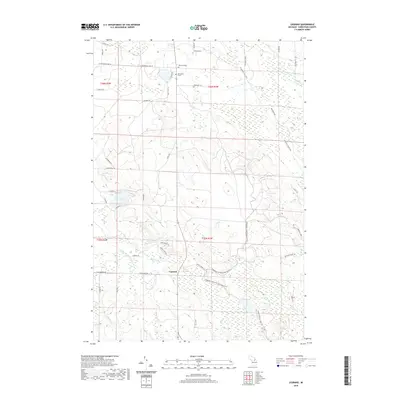
 2014 Legrand2014 Print · USGSCovers Legrand, including Waverly Township, Mullett Township, and other nearby areas
 - 2017 Map of Legrand, 2017 Print
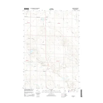
 2017 Legrand2017 Print · USGSCovers Legrand, including Waverly Township, Mullett Township, and other nearby areas
 - 2019 Map of Legrand, 2019 Print
 2019 Legrand2019 Print · USGSCovers Legrand, including Waverly Township, Mullett Township, and other nearby areas
 - 2023 Map of Legrand, 2023 Print
 2023 Legrand2023 Print · USGSCheboygan County’s river-fed woodlands are documented in detail during the early 2020s, centered on the settlement of Legrand. Family historians can locate family-named markers like Johnson Grave or trace the North Eastern State Trl and Devereaux Lake.
End of results
Showing maps 1-10 of 10
Top cities near Legrand
- Cheboygan historical maps
- Indian River historical maps
- Aloha historical maps
- Onaway historical maps
- Wolverine historical maps
Frequently asked questions
- What are the different types of historical maps available for Legrand?
- What is the oldest map of Legrand?
- Where can I purchase historical maps of Legrand for my home or office?
- Where can I download high-res historical maps of Legrand?
- Are there historical topographic maps available for Legrand?
- Is there historical aerial imagery available for Legrand?
- Where are historical maps of Legrand sourced from?