Old Maps of Forbush Corner, Michigan
Explore 11 old maps of Forbush Corner, spanning from 1949 to today. These high-resolution historic maps reveal how streets, neighborhoods, landmarks, and natural features evolved over time — perfect for genealogy, metal detecting, research, and local history exploration.
What you can do with these maps:
- See how Forbush Corner changed over time: Compare historical maps to modern-day views to trace roads, homesites, rail lines & more.
- View detailed metadata: Each map includes creators, publishers, year, scale, and archive source.
- Overlay maps with satellite & LiDAR: Visualize the past alongside modern tools to explore terrain & human change.
- Trusted historical sources: Maps sourced from the USGS, Library of Congress, and other archives.
- Access maps your way: View online, download high-res files, or order prints for personal or research use.
Start exploring old maps of Forbush Corner to uncover forgotten places, hidden landmarks, and the deep history beneath your feet.
Forbush Corner, MI maps
(11)- 1949 Map of Otsego Lake, 1954 Print
 1949 Otsego Lake1954 Print · USGSOtsego and Crawford Counties were transitioning from a logging past to a recreational and military future at the decade's end. Researchers can trace lakeside developments like Arbutus Beach and the old rail corridor of the New York Central.2 unique versions available
 - 1951 Map of Big Bradford Lake
 1951 Big Bradford Lake1951 Print · USGSCrawford County's vast timberlands and military tracts are frozen in time during the early fifties. Researchers can trace the legacy of remote settlements and early tourism at Forbush Corner, Maple Forest Cemetery, and the Bass Lake Cabins.3 unique versions available
 - 1954 Map of Traverse City, 1965 Print
 1954 Traverse City1965 Print · USGSNorthern Michigan’s vast lakeshores and timberlands are captured here in the mid-fifties, showing the region before the modern interstate era. Genealogists and researchers can trace rail connections like the Detroit and Mackinac RR or find old communities such as Suttons Bay, Elk Rapids, and Prudenville.4 unique versions available
 - 1958 Map of Traverse City
 1958 Traverse City1958 Print · USGSNorthern Lower Michigan was a landscape of vast state forests and burgeoning lakeside retreats in the late fifties. Genealogists and historians can trace the rail corridors of the Ann Arbor RR and find established settlements from Elk Rapids to Houghton Lake.2 unique versions available
 - 1983 Map of Grayling, 1984 Print
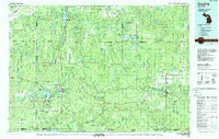 1983 Grayling1984 Print · USGSIn the early eighties, this Northern Michigan interior was a hub for forestry, military training, and river recreation. Researchers can trace the sprawling boundaries of Camp Grayling and locate historic markers like Hartwick Pines and Otsego Lake.2 unique versions available
 - 1989 Map of Traverse City, 1990 Print
 1989 Traverse City1990 Print · USGSNorthern Michigan’s lake-country and forest lands are captured in the late eighties as seasonal tourism and timber hubs expanded. Genealogists and historians can trace the routes of the Ann Arbor RR, the boundaries of Camp Grayling, and settlements like Elk Rapids and Manton.
 - 2011 Map of Big Bradford Lake, 2011 Print
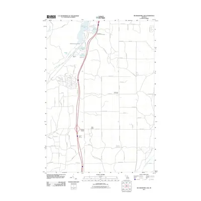 2011 Big Bradford Lake2011 Print · USGSMaple Forest Township was a center of Northern Michigan recreation and forestry during the early twenty-first century. Researchers can locate the Maple Forest Cemetery, identify cabins near Big Bradford Lake, and trace the boundary of Hartwick Pines State Park.
 - 2014 Map of Big Bradford Lake, 2014 Print
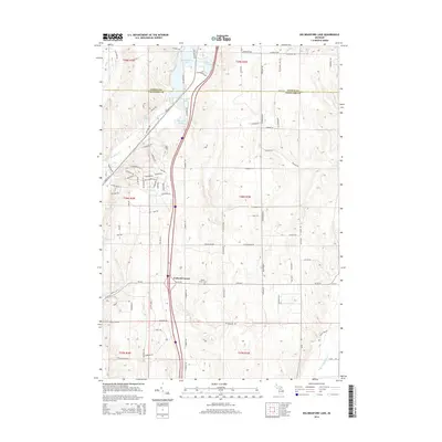 2014 Big Bradford Lake2014 Print · USGSThe Otsego and Crawford county line in the early 21st century reveals a landscape of high-country lakes and timber trails. Genealogists and historians can locate the Maple Forest Cem and trace old routes like N Old US-27 near Forbush Corner.
 - 2017 Map of Big Bradford Lake, 2017 Print
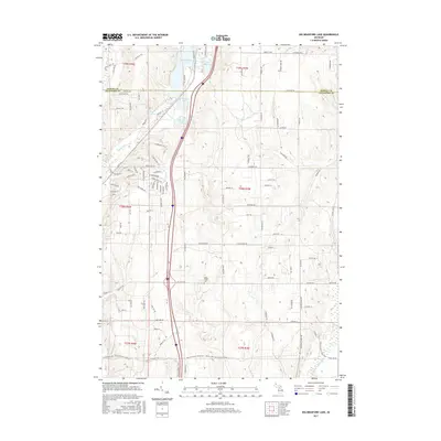 2017 Big Bradford Lake2017 Print · USGSUpper Michigan's lake country is detailed here in the late twenty-teens, showing the intersection of protected wilderness and rural townships. Trace local family history at the Maple Forest Cem or explore the hydrologic network between Big Bradford Lake and the E Br Au Sable River.
 - 2019 Map of Big Bradford Lake, 2019 Print
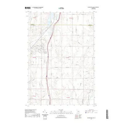 2019 Big Bradford Lake2019 Print · USGSThe Otsego and Crawford county line comes alive in this study of the northern Michigan woods during the late 2010s. Local researchers can trace family roots at Maple Forest Cem or explore the water network of Big Bradford Lake and the E Br Au Sable River.
 - 2023 Map of Big Bradford Lake, 2023 Print
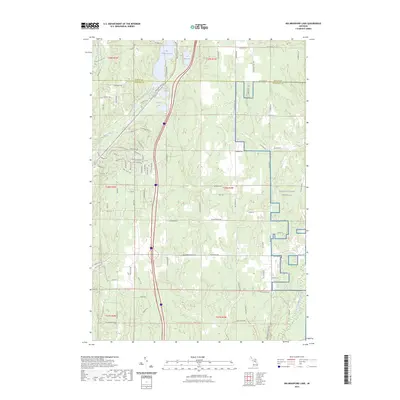 2023 Big Bradford Lake2023 Print · USGSNorthern Michigan lakelands and forest trails characterize this modern Crawford County landscape. Researchers can locate the Maple Forest Cem and trace the eastern boundaries of NG MTC-H Camp Grayling near the headwaters of the East Branch Au Sable River.
End of results
Showing maps 1-11 of 11
Top cities near Forbush Corner
- Gaylord historical maps
- Otsego Lake historical maps
- Grayling historical maps
- Frederic historical maps
- Lovells historical maps
Frequently asked questions
- What are the different types of historical maps available for Forbush Corner?
- What is the oldest map of Forbush Corner?
- Where can I purchase historical maps of Forbush Corner for my home or office?
- Where can I download high-res historical maps of Forbush Corner?
- Are there historical topographic maps available for Forbush Corner?
- Is there historical aerial imagery available for Forbush Corner?
- Where are historical maps of Forbush Corner sourced from?