2000s (21st Century) Maps of Carmel Township, Michigan
Explore 10 historic maps of Carmel Township from the 2000s (21st Century). These maps offer a rare glimpse into what life looked like during the 2000s — showing old roads, neighborhoods, homes, and landmarks that have changed or disappeared over time.
Whether you're researching your family's past, planning a metal detecting trip, or studying how Carmel Township's landscape evolved across the 2000s, these high-resolution maps are a powerful tool for exploring the history of this region.
- Focus on a specific era: All maps on this page are from the 2000s, giving you a focused view of this time period.
- See what’s changed: Compare century-old streets, trails, and buildings to today's modern landscape using overlays and satellite layers.
- Research with precision: Use these maps for genealogy, historical research, land use analysis, or educational projects.
- View, download, or print: Maps are fully viewable online in high resolution, and can be downloaded or printed for your own records.
Start exploring Carmel Township's history through authentic maps from the 2000s. This is your window into the past.
Carmel Township, MI maps
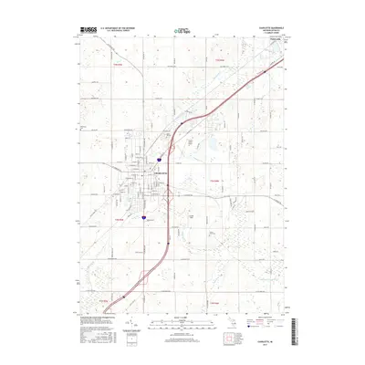
(10)- 2011 Map of Charlotte, 2011 Print
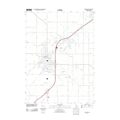 2011 Charlotte2011 Print · USGSCovers Carmel Township, including Charlotte, Potterville, and other nearby areas
 - 2011 Map of Chester, 2011 Print
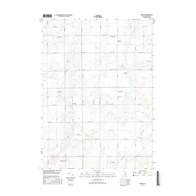
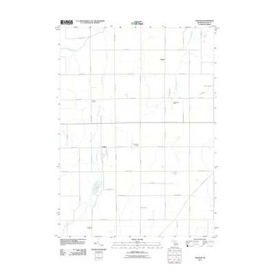 2011 Chester2011 Print · USGSCovers Carmel Township, including Chester, Carlisle, and other nearby areas
 - 2014 Map of Chester, 2014 Print
 2014 Chester2014 Print · USGSCovers Carmel Township, including Chester, Carlisle, and other nearby areas
 - 2014 Map of Charlotte, 2014 Print
 2014 Charlotte2014 Print · USGSCovers Carmel Township, including Charlotte, Potterville, and other nearby areas
 - 2017 Map of Charlotte, 2017 Print
 2017 Charlotte2017 Print · USGSCovers Carmel Township, including Charlotte, Potterville, and other nearby areas
 - 2017 Map of Chester, 2017 Print
 2017 Chester2017 Print · USGSCovers Carmel Township, including Chester, Carlisle, and other nearby areas
 - 2019 Map of Charlotte, 2019 Print
 2019 Charlotte2019 Print · USGSCovers Carmel Township, including Charlotte, Potterville, and other nearby areas
 - 2019 Map of Chester, 2019 Print
 2019 Chester2019 Print · USGSCovers Carmel Township, including Chester, Carlisle, and other nearby areas
 - 2023 Map of Charlotte, 2023 Print
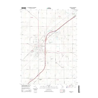
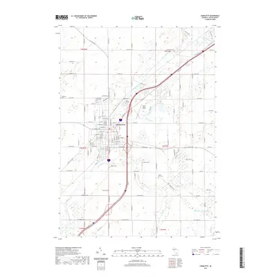
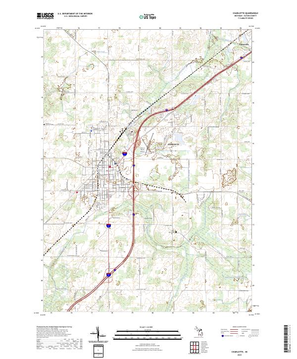 2023 Charlotte2023 Print · USGSThe city of Charlotte and nearby Potterville are shown in detail as they appeared in the early 2020s. Genealogists and researchers can locate established sites like the Eaton County Courthouse, Maple Hill Cem, and Center Eaton Cem.
 - 2023 Map of Chester, 2023 Print
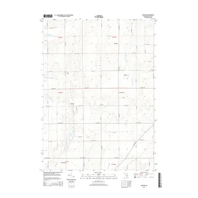
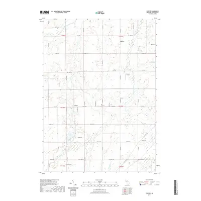
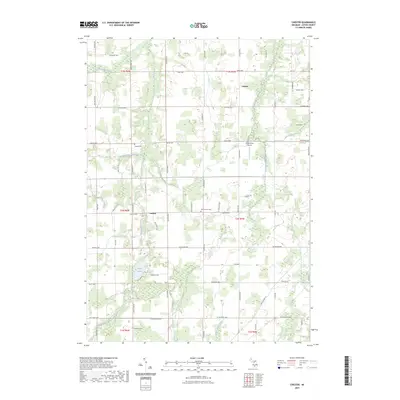 2023 Chester2023 Print · USGSEaton County's rural heartland is meticulously documented in this modern survey of the agricultural landscape between Chester and Carlisle. Genealogists and historians can trace local heritage through landmarks like Cogsdill Cem, Spaulding Cem, and the waters of Lacey Lake.
End of results
Showing maps 1-10 of 10
Top cities near Carmel Township
- Lansing historical maps
- Charlotte historical maps
- Grand Ledge historical maps
- Eaton Rapids historical maps
- Potterville historical maps
- Chester historical maps
See more
Frequently asked questions
- What are the different types of historical maps available for Carmel Township?
- What is the oldest map of Carmel Township?
- Where can I purchase historical maps of Carmel Township for my home or office?
- Where can I download high-res historical maps of Carmel Township?
- Are there historical topographic maps available for Carmel Township?
- Is there historical aerial imagery available for Carmel Township?
- Where are historical maps of Carmel Township sourced from?