2000s (21st Century) Maps of Potterville, Michigan
Explore 20 historic maps of Potterville from the 2000s (21st Century). These maps offer a rare glimpse into what life looked like during the 2000s — showing old roads, neighborhoods, homes, and landmarks that have changed or disappeared over time.
Whether you're researching your family's past, planning a metal detecting trip, or studying how Potterville's landscape evolved across the 2000s, these high-resolution maps are a powerful tool for exploring the history of this region.
- Focus on a specific era: All maps on this page are from the 2000s, giving you a focused view of this time period.
- See what’s changed: Compare century-old streets, trails, and buildings to today's modern landscape using overlays and satellite layers.
- Research with precision: Use these maps for genealogy, historical research, land use analysis, or educational projects.
- View, download, or print: Maps are fully viewable online in high resolution, and can be downloaded or printed for your own records.
Start exploring Potterville's history through authentic maps from the 2000s. This is your window into the past.
Potterville, MI maps
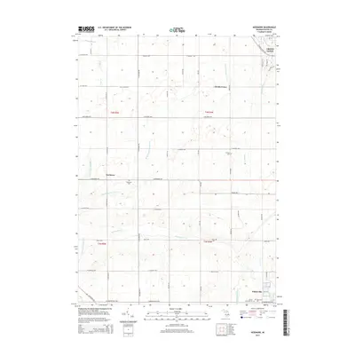
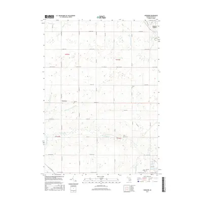
(20)- 2011 Map of Needmore, 2011 Print
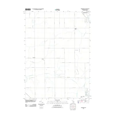 2011 Needmore2011 Print · USGSCovers Potterville, including Grand Ledge, Roxand Township, and other nearby areas
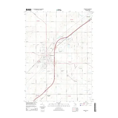
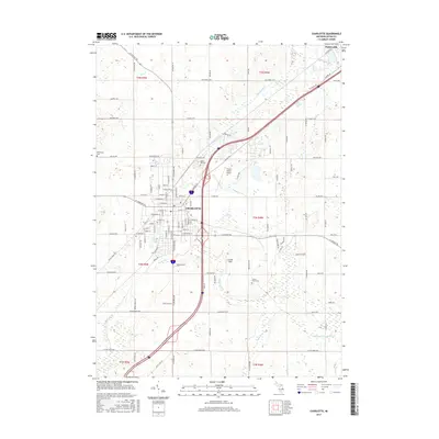
 - 2011 Map of Charlotte, 2011 Print
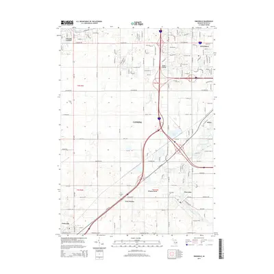
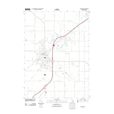 2011 Charlotte2011 Print · USGSCovers Potterville, including Charlotte, Five Points Corner, and other nearby areas
 - 2011 Map of Eaton Rapids, 2011 Print
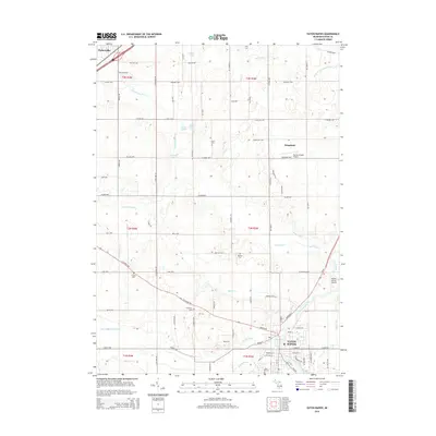
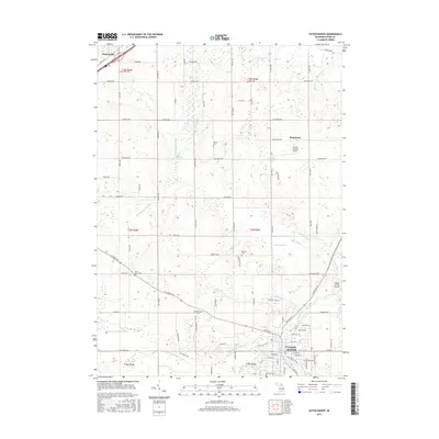
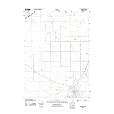 2011 Eaton Rapids2011 Print · USGSCovers Potterville, including Eaton Rapids, Windsor Charter Township, and other nearby areas
 - 2011 Map of Dimondale, 2011 Print
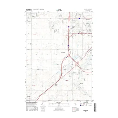
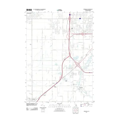 2011 Dimondale2011 Print · USGSCovers Potterville, including Lansing, Grand Ledge, and other nearby areas
 - 2014 Map of Dimondale, 2014 Print
 2014 Dimondale2014 Print · USGSCovers Potterville, including Lansing, Grand Ledge, and other nearby areas
 - 2014 Map of Eaton Rapids, 2014 Print
 2014 Eaton Rapids2014 Print · USGSCovers Potterville, including Eaton Rapids, Windsor Charter Township, and other nearby areas
 - 2014 Map of Needmore, 2014 Print
 2014 Needmore2014 Print · USGSCovers Potterville, including Grand Ledge, Roxand Township, and other nearby areas
 - 2014 Map of Charlotte, 2014 Print
 2014 Charlotte2014 Print · USGSCovers Potterville, including Charlotte, Five Points Corner, and other nearby areas
 - 2017 Map of Eaton Rapids, 2017 Print
 2017 Eaton Rapids2017 Print · USGSCovers Potterville, including Eaton Rapids, Windsor Charter Township, and other nearby areas
 - 2017 Map of Dimondale, 2017 Print
 2017 Dimondale2017 Print · USGSCovers Potterville, including Lansing, Grand Ledge, and other nearby areas
 - 2017 Map of Needmore, 2017 Print
 2017 Needmore2017 Print · USGSCovers Potterville, including Grand Ledge, Roxand Township, and other nearby areas
 - 2017 Map of Charlotte, 2017 Print
 2017 Charlotte2017 Print · USGSCovers Potterville, including Charlotte, Five Points Corner, and other nearby areas
 - 2019 Map of Charlotte, 2019 Print
 2019 Charlotte2019 Print · USGSCovers Potterville, including Charlotte, Five Points Corner, and other nearby areas
 - 2019 Map of Dimondale, 2019 Print
 2019 Dimondale2019 Print · USGSCovers Potterville, including Lansing, Grand Ledge, and other nearby areas
 - 2019 Map of Needmore, 2019 Print
 2019 Needmore2019 Print · USGSCovers Potterville, including Grand Ledge, Roxand Township, and other nearby areas
 - 2019 Map of Eaton Rapids, 2019 Print
 2019 Eaton Rapids2019 Print · USGSCovers Potterville, including Eaton Rapids, Windsor Charter Township, and other nearby areas
 - 2023 Map of Charlotte, 2023 Print
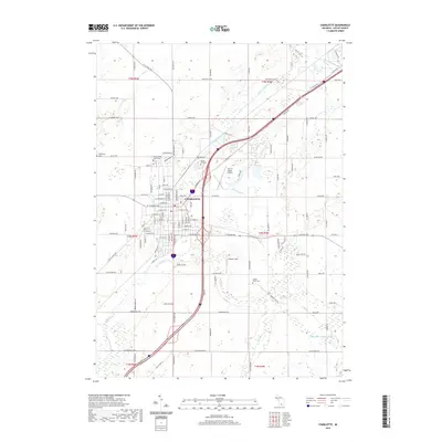
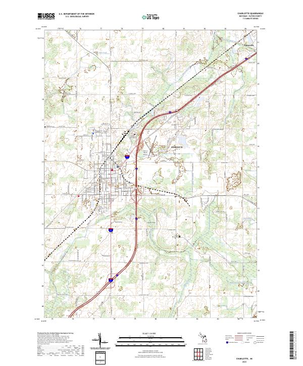 2023 Charlotte2023 Print · USGSThe city of Charlotte and nearby Potterville are shown in detail as they appeared in the early 2020s. Genealogists and researchers can locate established sites like the Eaton County Courthouse, Maple Hill Cem, and Center Eaton Cem.
 - 2023 Map of Eaton Rapids, 2023 Print
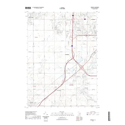
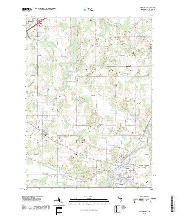 2023 Eaton Rapids2023 Print · USGSEaton Rapids and the surrounding township lands appear here in their modern context, where the Grand River meets a complex web of rural drains and historic cemeteries. Researchers can trace family sites at Brickyard Cem or locate old aviation landmarks like Rapids Airway Airport.
 - 2023 Map of Needmore, 2023 Print
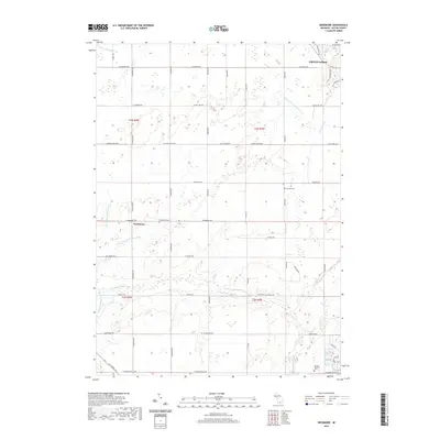
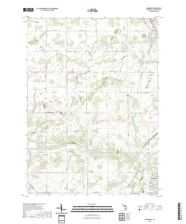 2023 Needmore2023 Print · USGSEaton County's rural heartland is shown in the early 2020s, dominated by a grid of farm roads and the winding Thorapple River. Genealogists can locate several family-history sites including Needmore Cem, Strange Cem, and the small community of Needmore.
 - 2023 Map of Dimondale, 2023 Print
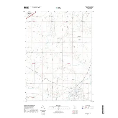
 2023 Dimondale2023 Print · USGSThe western outskirts of Lansing and the riverfront village of Dimondale are shown here during their recent period of expansion. Genealogists can locate several family and community burial sites, such as Pioneer Cem, Pray Cem, and the Dimondale Cem.
End of results
Showing maps 1-20 of 20
Top cities near Potterville
- Lansing historical maps
- Charlotte historical maps
- Grand Ledge historical maps
- Eaton Rapids historical maps
- DeWitt historical maps
- Portland historical maps
See more
Frequently asked questions
- What are the different types of historical maps available for Potterville?
- What is the oldest map of Potterville?
- Where can I purchase historical maps of Potterville for my home or office?
- Where can I download high-res historical maps of Potterville?
- Are there historical topographic maps available for Potterville?
- Is there historical aerial imagery available for Potterville?
- Where are historical maps of Potterville sourced from?